Nantucket County
Nantucket, MA
(Town Pier)
Storm Report
Impacts Reported
User Submitted Data
Roads
Street/Road: Unspecified
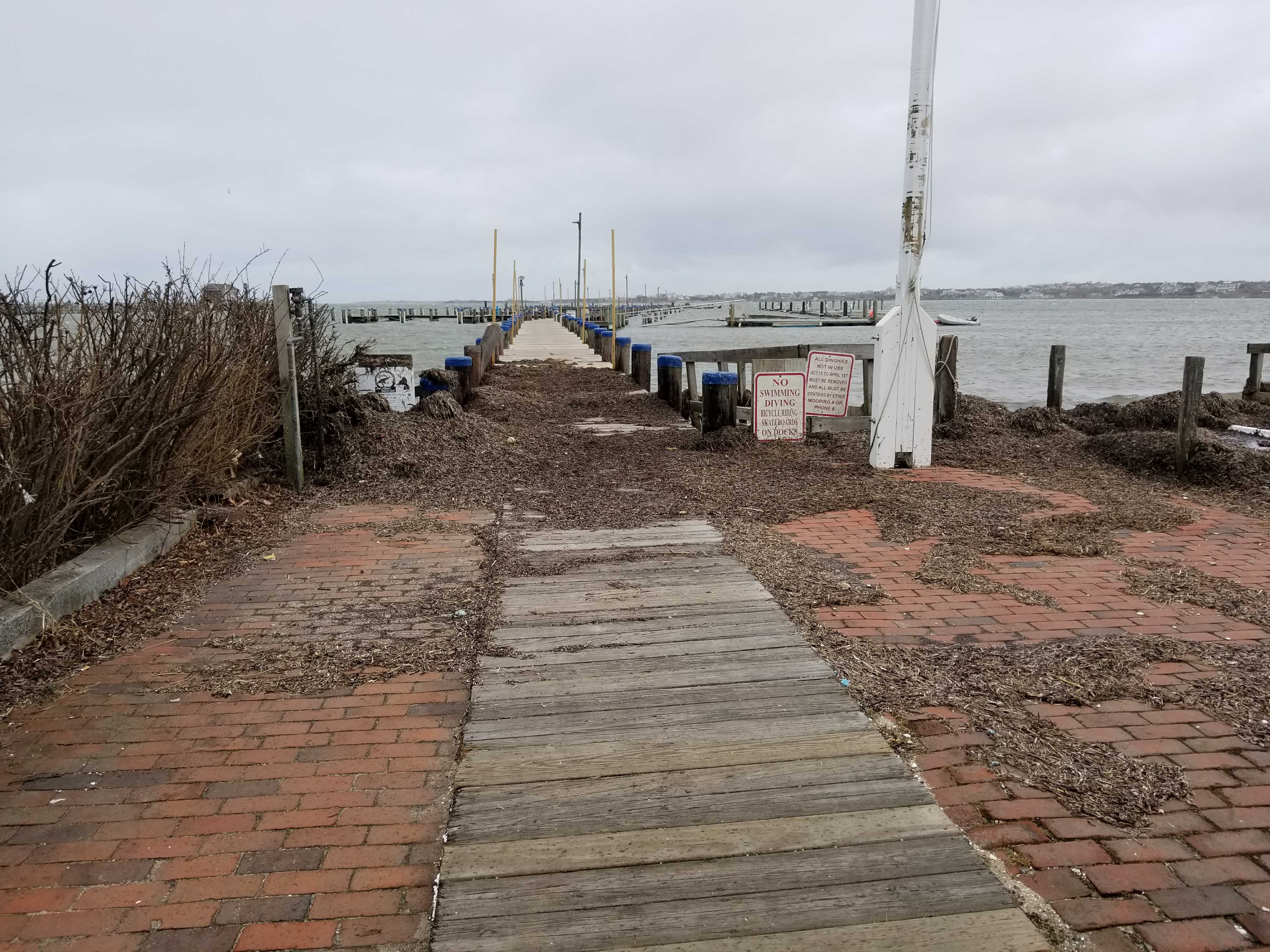
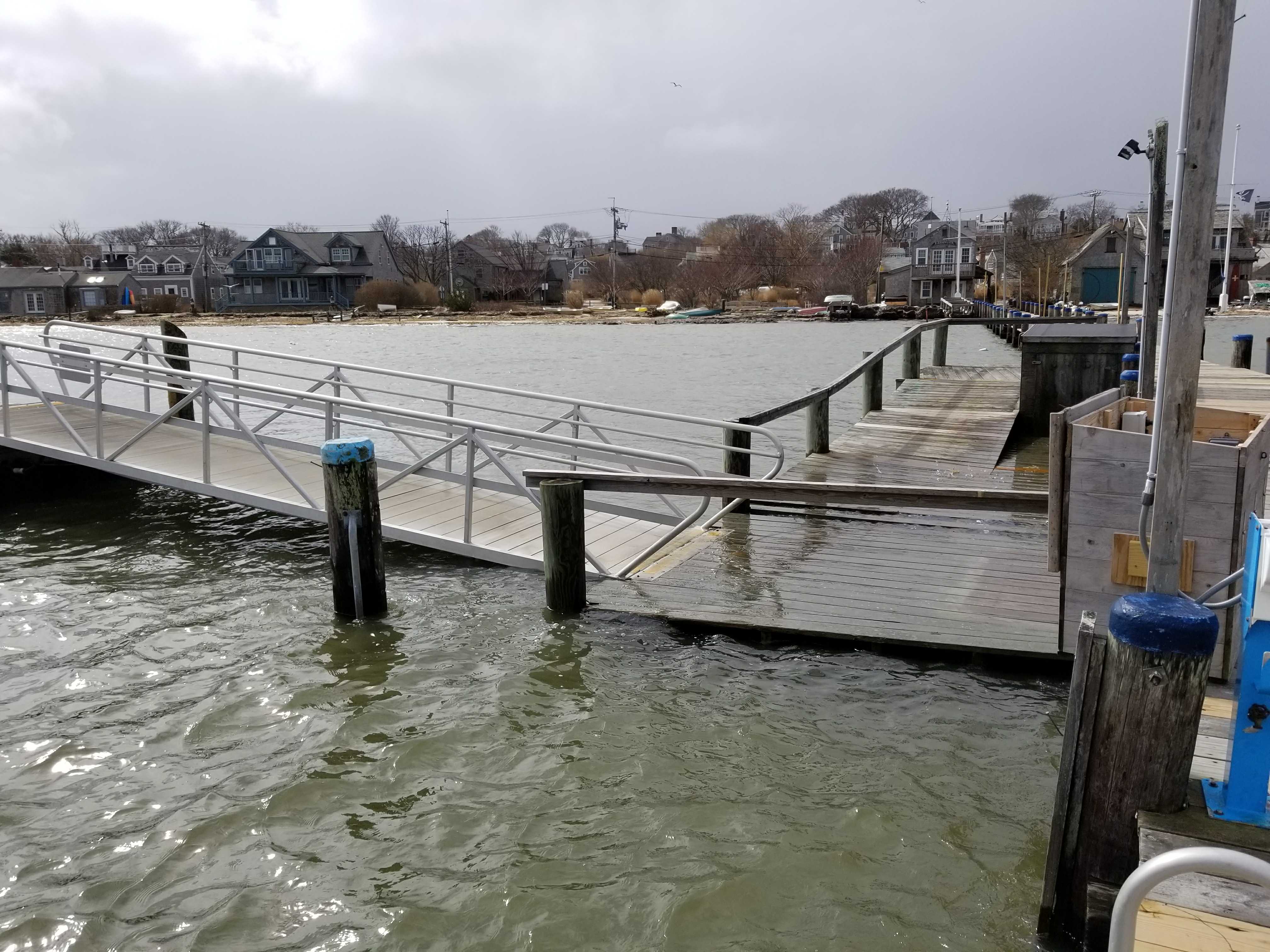
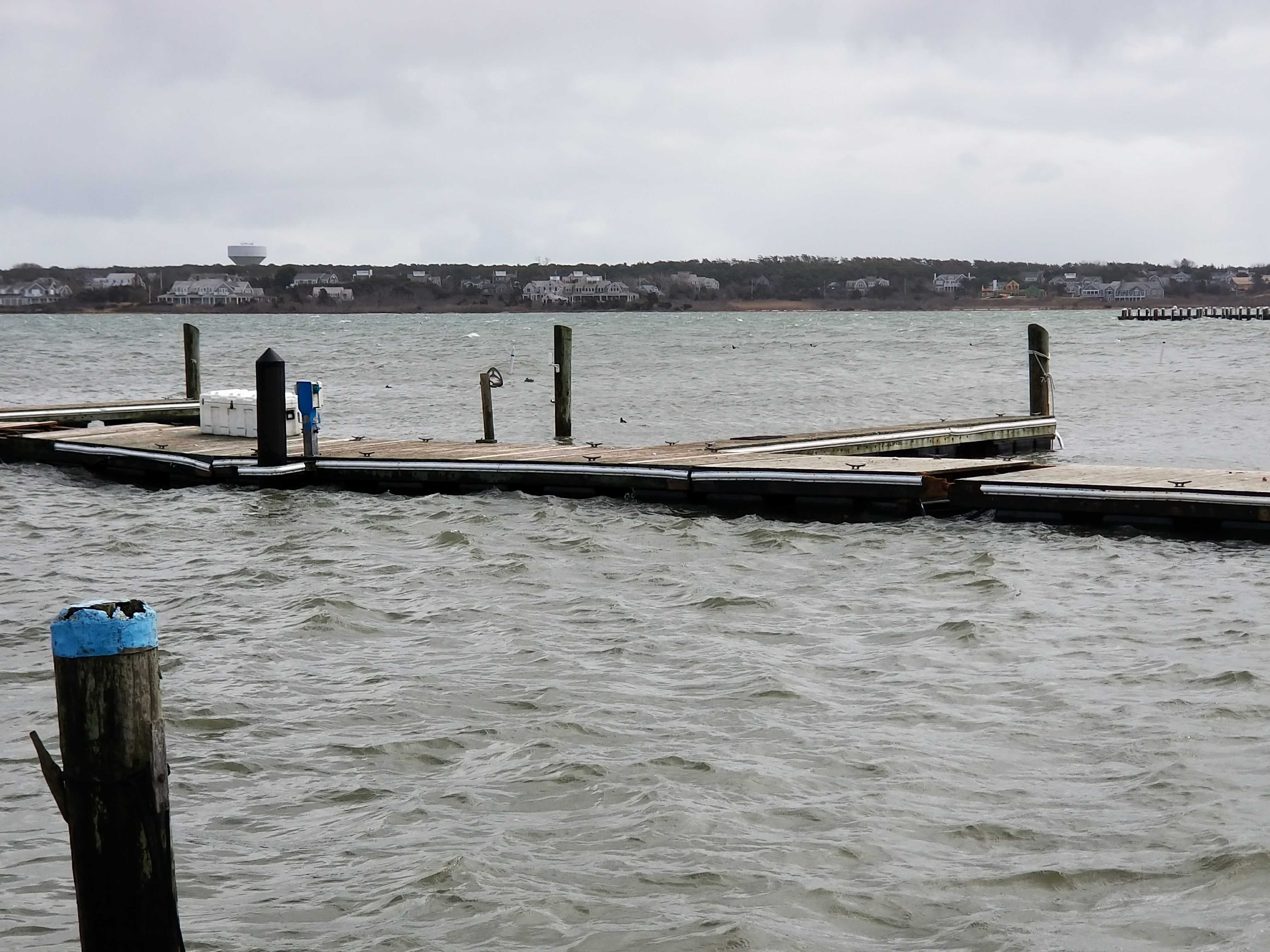
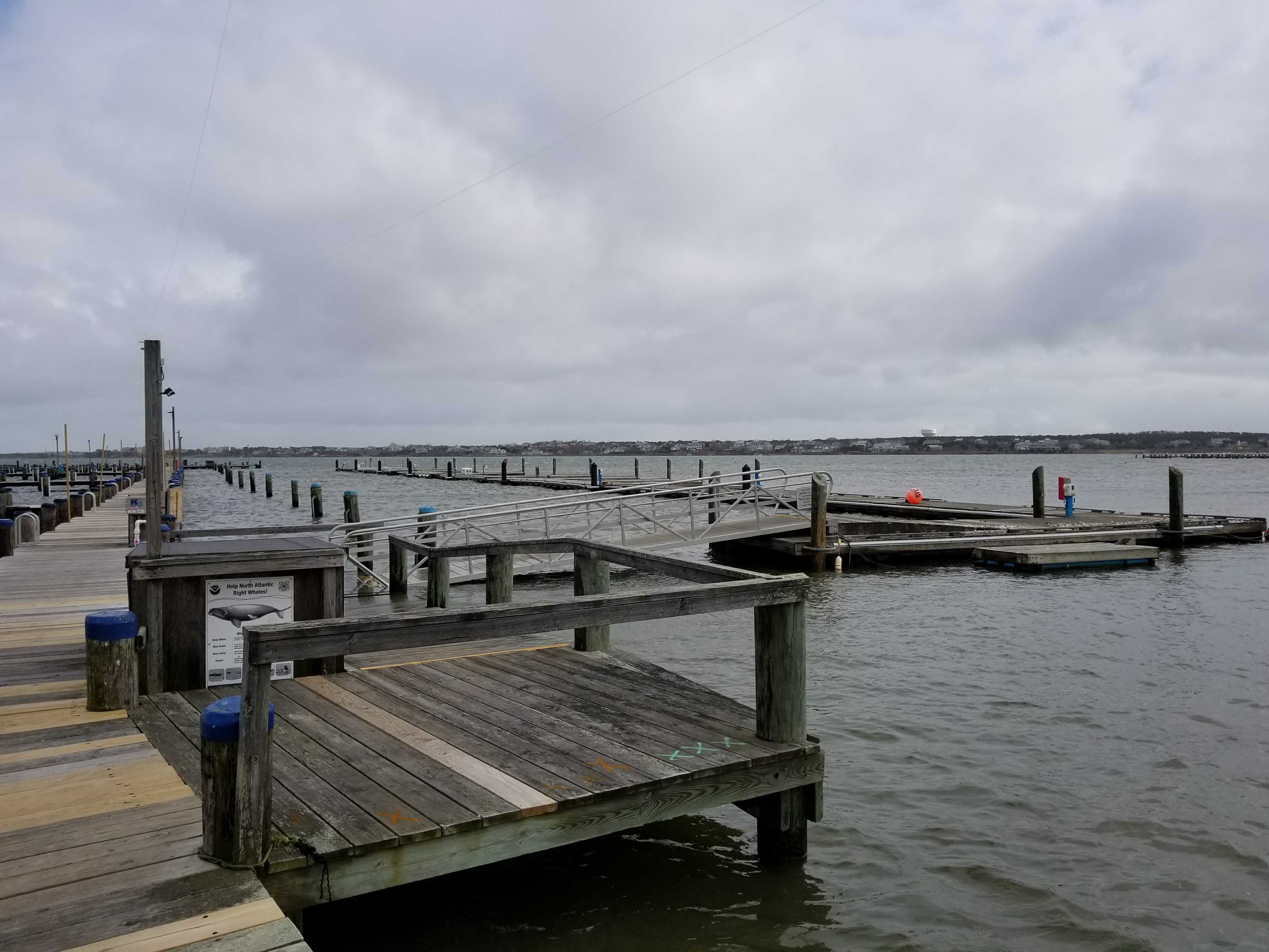
Marinas and Harbors
Specific Impacts:
- Damaged piers/docks
- Displaced floats
Displaced floats: 8 floats
Buildings
Hazardous Materials
Beach
Coastal Structures
Specific Impacts:
- Splashover
- Damaged stairs/walkovers
Foot/Cycling Paths
Natural Resources
Current Response
Response:
- Other
Specific response: Secured/closed - integrity - safety TBD
Tidal Overview
![]() 1 hours 21 minutes before high tide
1 hours 21 minutes before high tide
Data from NANTUCKET (0.3 miles away)
Water Level (at time of report): 12:15 pm, 5.3' MLLW
High Tide (Predicted): 2:05 pm, 3.5' MLLW
High Tide (Observed): 1:36 pm, 5.6' MLLW
Loading NOAA Tide Data…
■ Observed
■ Predicted water level
⬤ Report time
Weather Overview
Wind Speed: 26.3 MPH
Wind Direction: NNE (20°)
Temperature: 43℉
Rainfall (Calendar Day): 0"
Rainfall (Past 24 Hours): 0.01"
You must be logged in to post a comment.
Appears all floating docks damaged significantly. Some sunken or missing.