Nantucket County
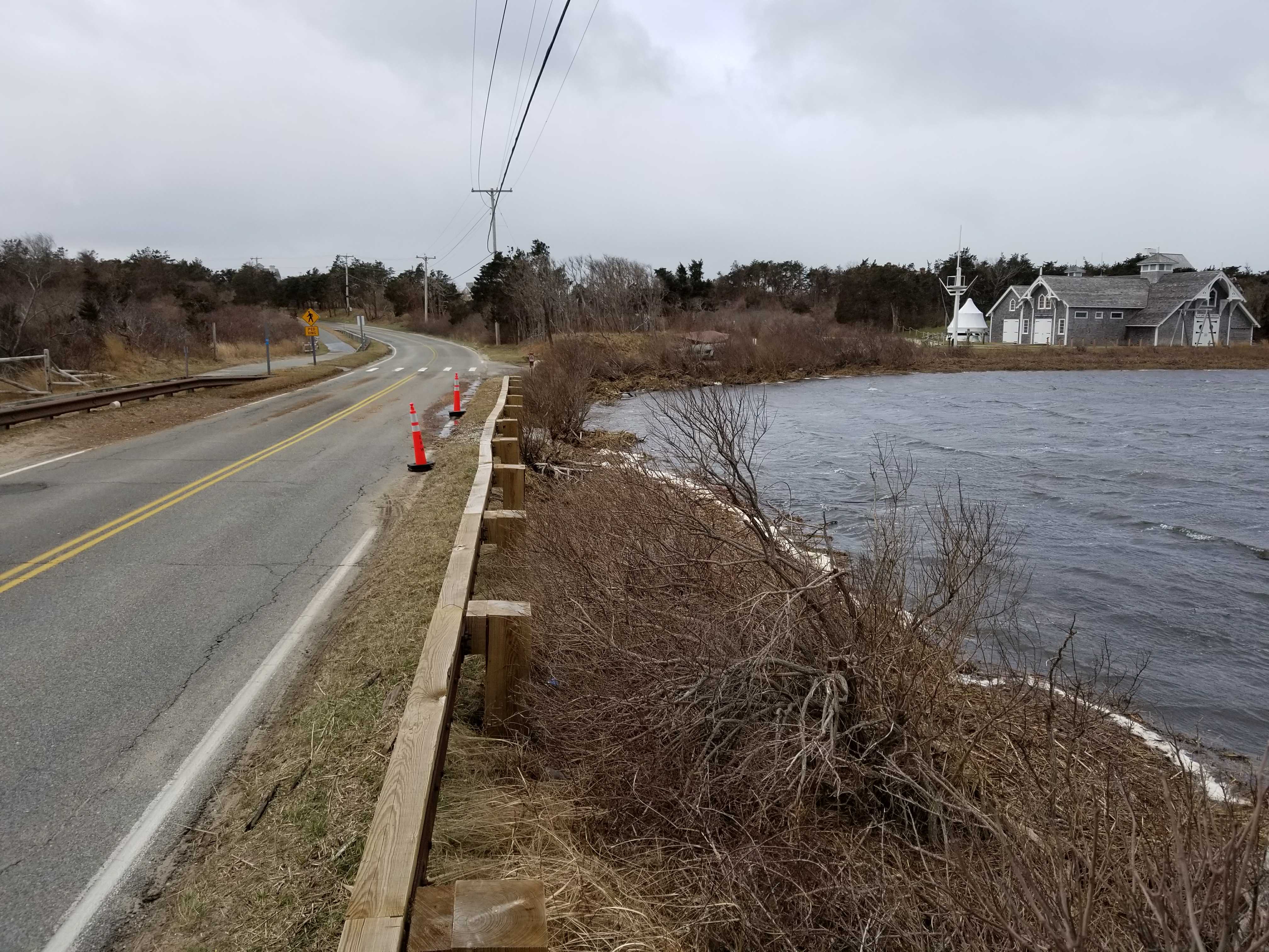
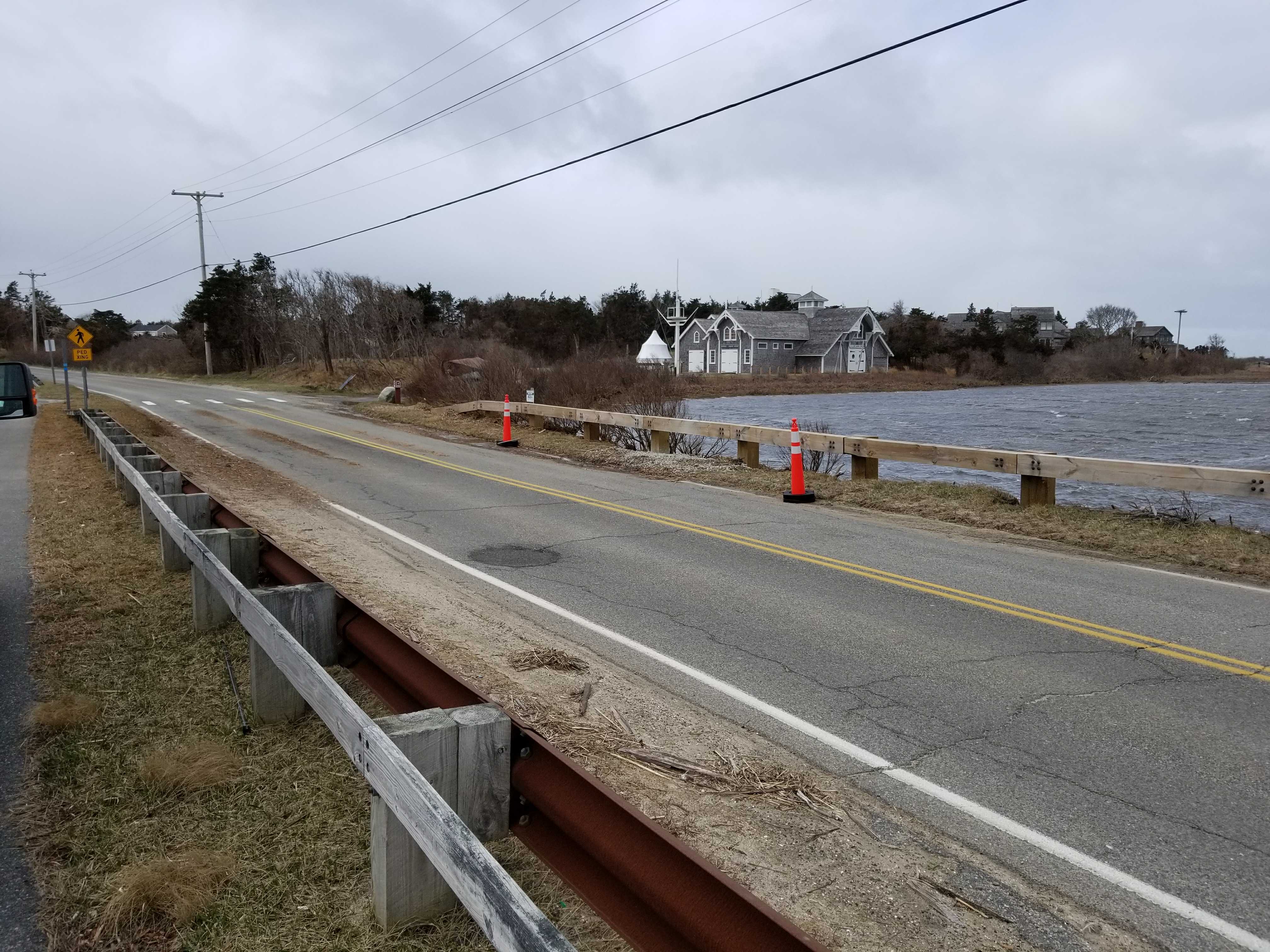
Nantucket, MA (158 Polpis Rd culvert)
Storm Report
Impacts Reported

Roads
Street/Road: Unspecified
Specific Impacts:
- Splashover
- Impacted, but passable
Comments: Some scouring occurred at under road culvert. Area protected with stone and gravel to prevent further degradation. Tidal water flowed over roadway.
Marinas and Harbors
Buildings
Hazardous Materials
Beach
Foot/Cycling Paths
Natural Resources
Current Response
Response:
- None
Tidal Overview
![]() 1 hours 44 minutes before high tide
1 hours 44 minutes before high tide
Data from NANTUCKET (2.8 miles away)
Water Level (at time of report): 11:52 am, 5.2' MLLW
High Tide (Predicted): 2:05 pm, 3.5' MLLW
High Tide (Observed): 1:36 pm, 5.6' MLLW
■ Observed
■ Predicted water level
⬤ Report time
Weather Overview
Wind Speed: 26.2 MPH
Wind Direction: NNE (20°)
Temperature: 43℉
Rainfall (Calendar Day): 0"
Rainfall (Past 24 Hours): 0.01"
You must be logged in to post a comment.