Suffolk County
Winthrop, MA
(Seal Harbor apts)
Storm Report
Impacts Reported
User Submitted Data
Roads
Street/Road: Unspecified
Marinas and Harbors
Buildings
Hazardous Materials
Beach
Coastal Structures
Foot/Cycling Paths
Natural Resources
Specific Impacts:
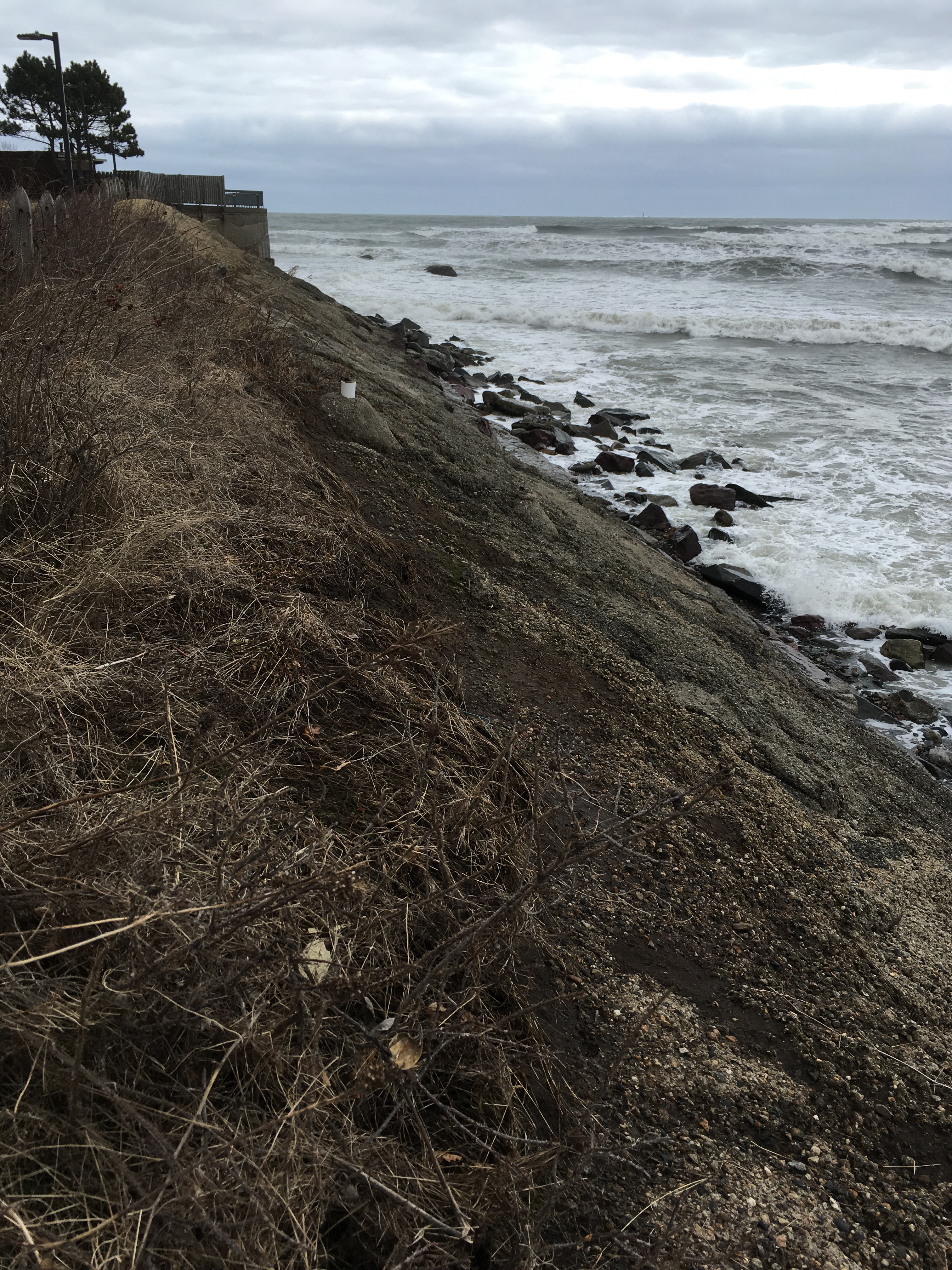
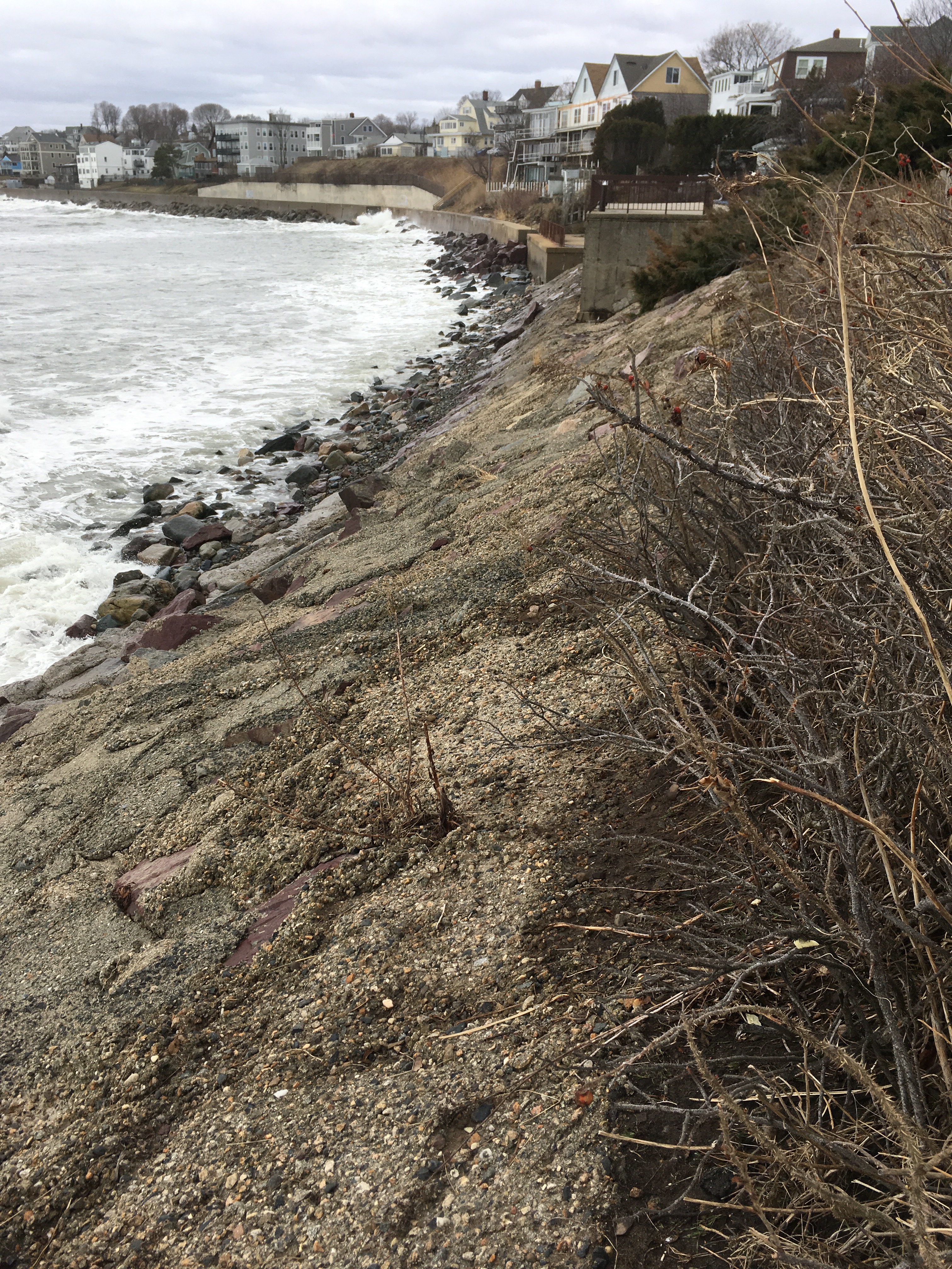
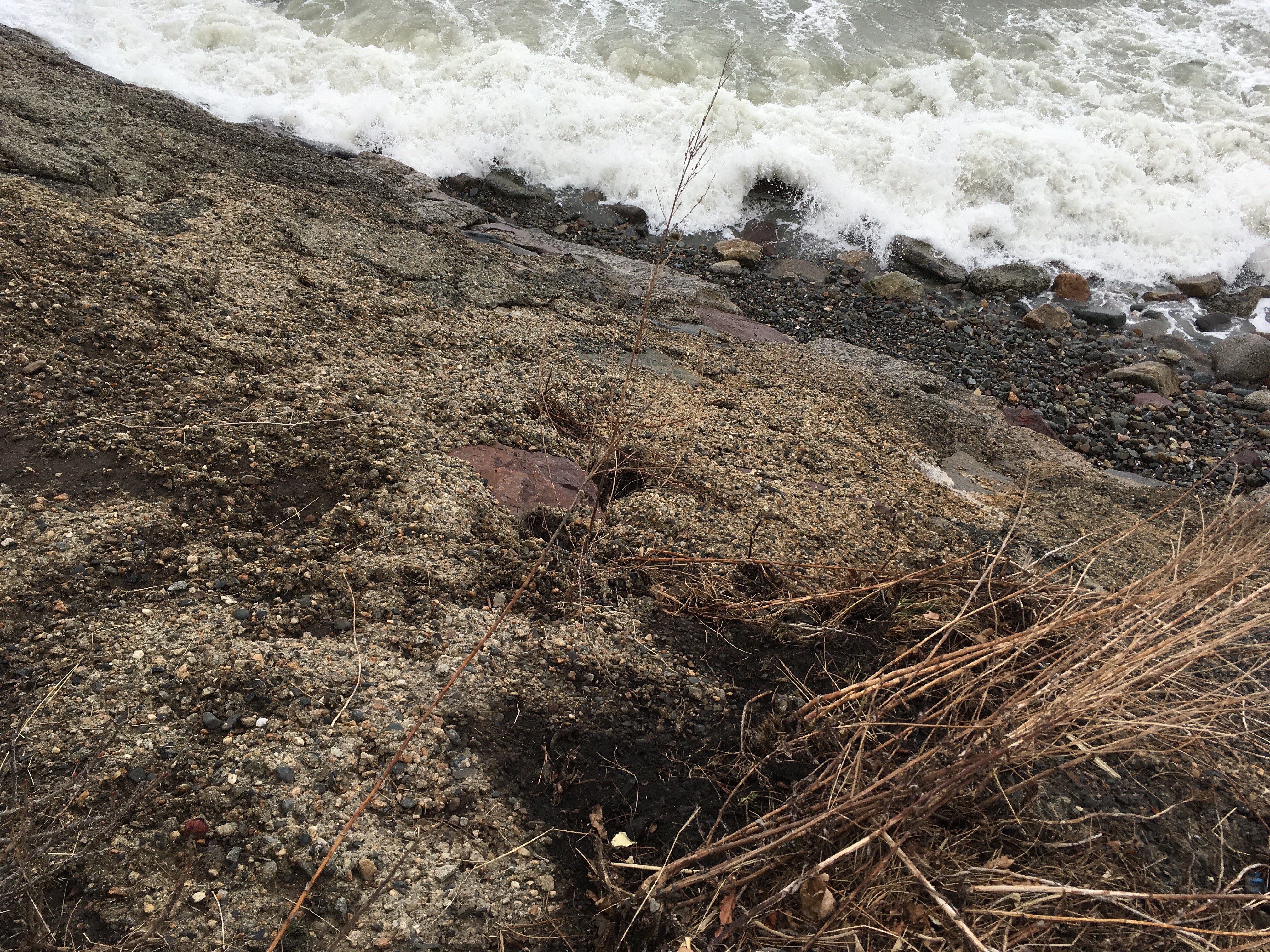
- Eroded bank/bluff
Comments: From the top, Depswa actually doesn’t look that bad. A lot of final settlement is no coding the face of the bluff. I can see that there are a lot of large boulders underneath. Doesn’t look too bad, but I am not familiar with its original condition.
Current Response
Response:
- None
Tidal Overview
![]() 2 hours 12 minutes before high tide
2 hours 12 minutes before high tide
Data from BOSTON (5.1 miles away)
Water Level (at time of report): 10:46 am, 9.4' MLLW
High Tide (Predicted): 12:54 pm, 10.9' MLLW
High Tide (Observed): 12:54 pm, 12.9' MLLW
Loading NOAA Tide Data…
■ Observed
■ Predicted water level
⬤ Report time
Weather Overview
Wind Speed: 12.4 MPH
Wind Direction: NE (39°)
Temperature: 40℉
Rainfall (Calendar Day): 0"
Rainfall (Past 24 Hours): 0"
You must be logged in to post a comment.