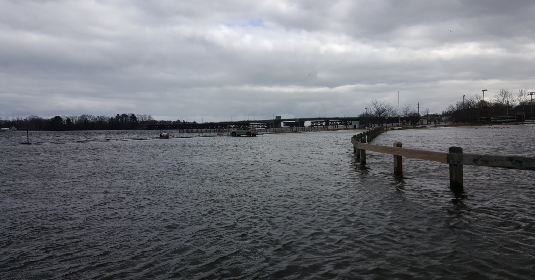
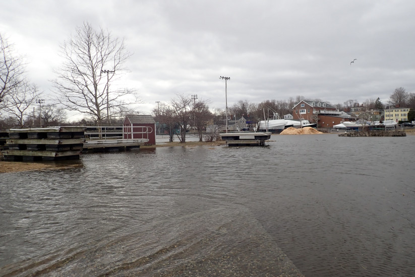
Newburyport, MA (Newburyport Boat Ramp)
Essex County
Storm Report
03/03/2018 | 11:56 am
Impacts Reported
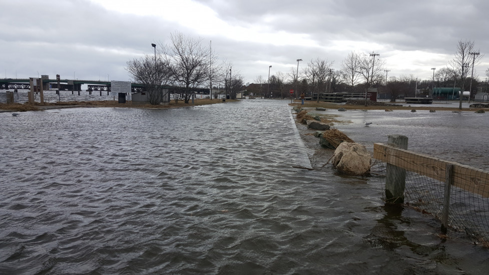
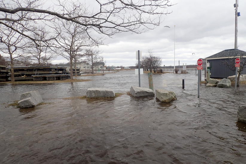
Roads
Street/Road: Unspecified
Specific Impacts:
- Impassable (flood water)
Marinas and Harbors
Specific Impacts:
- Damaged piers/docks
Comments: State fishing pier inundated. Stored dock section floated and moved as the water came in.
Buildings
Hazardous Materials
Beach
State: Damaged foot/bike path
Coastal Structures
Natural Resources
Specific Impacts:
- Wrack on wetlands
Current Response
Response:
- None
You must be logged in to post a comment.