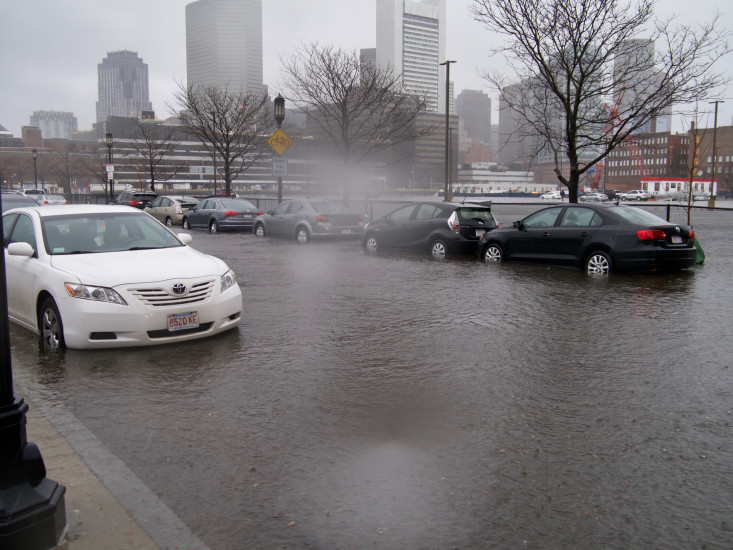
Boston, MA (Boston Fish Pier)

Suffolk County

Impacts Reported


Roads

Street/Road: Unspecified

Specific Impacts:

  • Impacted, but passable

Comments: flooding

Marinas and Harbors
Buildings

Specific Impacts:

  • Water flow around or under buildings

Hazardous Materials
Beach

State: Accessible

Coastal Structures
Natural Resources
Current Response

03/02/2018 | 12:53 pm

Tidal Overview

1 hours 35 minutes after high tide

Data from BOSTON (0.8 miles away)

Water Level (at time of report): 12:53 pm, 13.2'

High Tide (Predicted): 11:14 am, 11.4'

High Tide (Observed): 11:18 am, 14.6'

Observed Predicted water level Report time

Weather Overview

Wind Speed: 38.9 MPH

Wind Direction: NNE (30°)

Temperature: 43℉

Rainfall (Calendar Day): 0.153"

Rainfall (Past 24 Hours): 0.69"

(Click here for full weather details)


You must be logged in to post a comment.
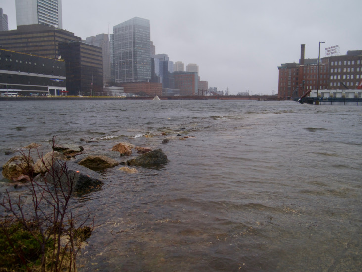