Hull, MA (View to the Southwest of Hull Shore Drive and Nantasket Ave, near Phipps St., Hull, MA)

Plymouth County

Impacts Reported


Roads

Street/Road: Unspecified

Specific Impacts:

  • Impassable (flood water)
  • Impassable (overwash)
  • Impassable (washed out)

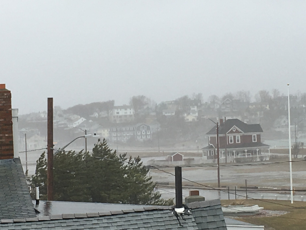
Comments: Roads to and from Hull closed as of 12:30 PM: George Washington Blvd (2' +); Cadish Ave (1' +); Fitzpatrick Way (2' +); Main St (near dust bowl); Nantasket Ave and Hull Shore Dr. (shown in photo)

Marinas and Harbors
Buildings
Hazardous Materials
Beach

State: Accessible

Coastal Structures
Natural Resources
Current Response

03/02/2018 | 12:39 pm

Tidal Overview

1 hours 24 minutes after high tide

Data from BOSTON (11.4 miles away)

Water Level (at time of report): 12:39 pm, 13.5'

High Tide (Predicted): 11:14 am, 11.4'

High Tide (Observed): 11:18 am, 14.6'

Observed Predicted water level Report time

Weather Overview

Wind Speed: 31.8 MPH

Wind Direction: NNE (31°)

Temperature: 43℉

Rainfall (Calendar Day): 0.212"

Rainfall (Past 24 Hours): 1.07"

(Click here for full weather details)


You must be logged in to post a comment.