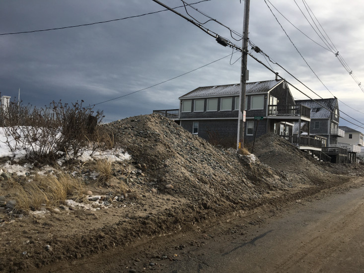
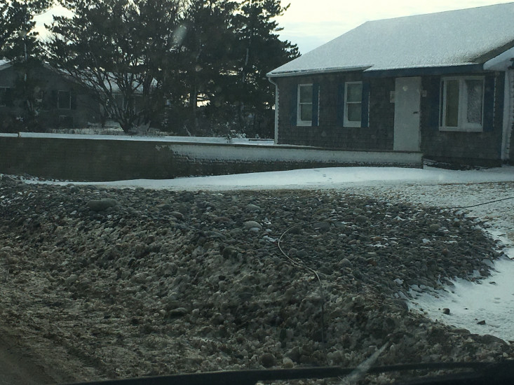
Roads
Street/Road: Unspecified
Specific Impacts:
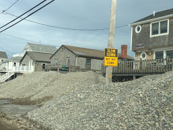
- Impassable (flood water)
- Impassable (overwash)
Marinas and Harbors
Buildings
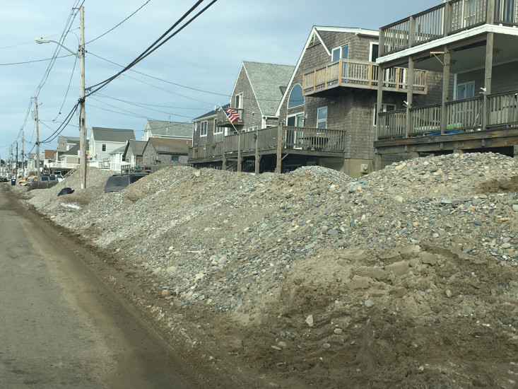
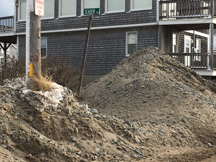
Street: All of North Humarock
Specific Impacts:
- Water flow around or under buildings
- Damaged stairs/decks
- Damaged windows/sidings
Hazardous Materials
Specific Impacts:
- Septic
Comments: Have to assume septic was effected
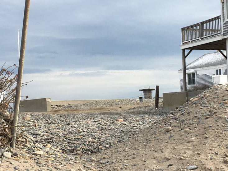
Beach
State: Inaccessible
Comments: During the storm the beach was not accessible, the beach erosion will be assessed by Applied Coastal Thursday morning (1/11/18) so we will have more information on erosion at that time.
Coastal Structures
Natural Resources
Specific Impacts:
- Eroded beach
- Overwashed beach/dune
- Wrack on wetlands
Comments: Cobble on the marsh, over wash on the roads, anticipated erosion.
Current Response
Response:
- None
You must be logged in to post a comment.