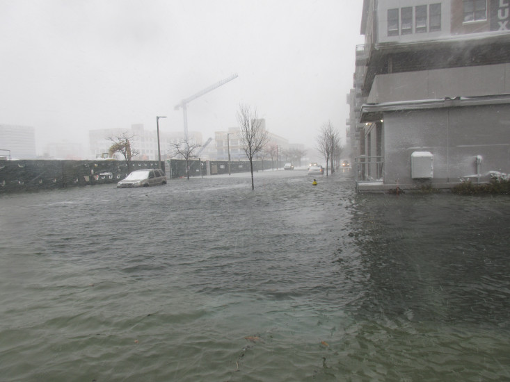
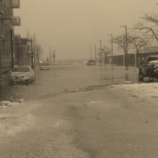
Boston, MA (Harborwalk (Portside))

Suffolk County

Impacts Reported


Roads

Street/Road: Unspecified

Specific Impacts:

  • Impassable (flood water)

Marinas and Harbors
Buildings

Specific Impacts:

  • Water flow around or under buildings

Hazardous Materials
Beach

State: Accessible

Coastal Structures
Natural Resources
Current Response

01/04/2018 | 1:10 pm

Tidal Overview

0 hours 28 minutes after high tide

Data from BOSTON (1 miles away)

Water Level (at time of report): 1:10 pm, 14.9'

High Tide (Predicted): 12:36 pm, 11.8'

High Tide (Observed): 12:42 pm, 15.2'

Observed Predicted water level Report time

Weather Overview

Wind Speed: 20.8 MPH

Wind Direction: N (360°)

Temperature: 28℉

Rainfall (Calendar Day): 0.111"

Rainfall (Past 24 Hours): 0.22"

(Click here for full weather details)


You must be logged in to post a comment.