Snohomish County
Tulalip, WA
Storm Surge Report
Report type: Pre-storm
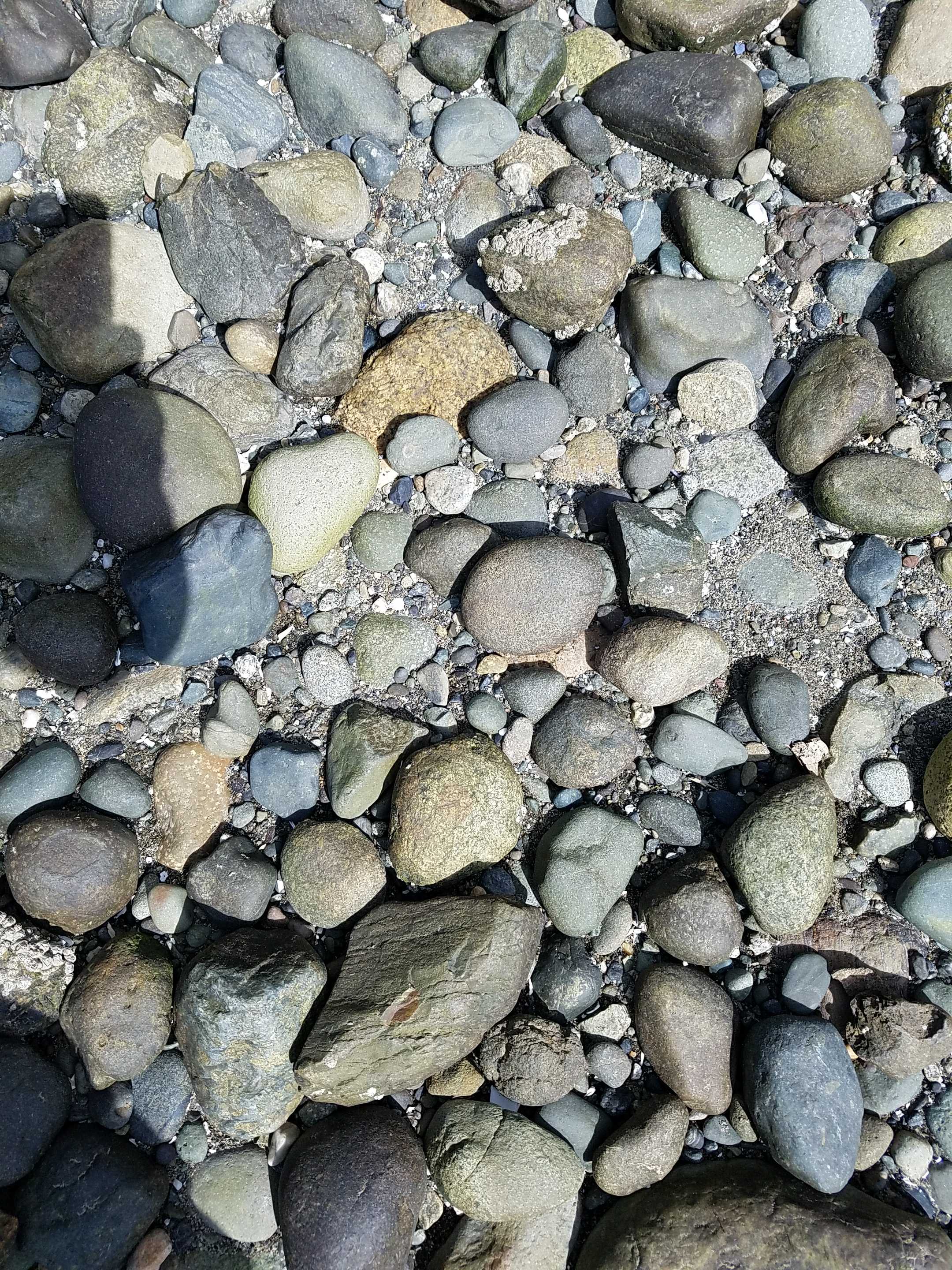
Debris seen:
- Coarse gravel
Measurement represents:
- debris line
Wave height: 0.5ft
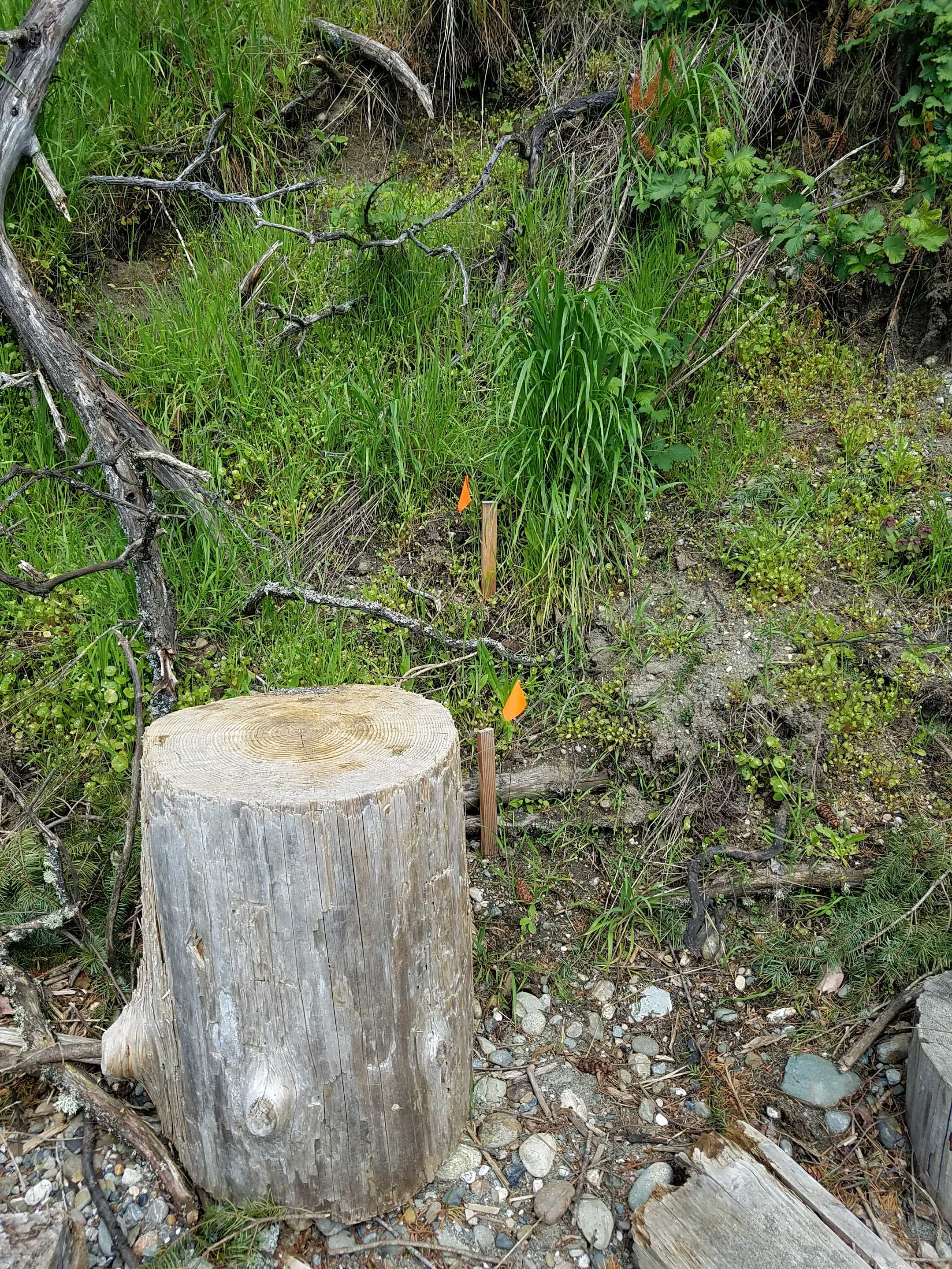
Stake number: 1
Stake Photo
Latitude: 48.1074052
Longitude: -122.3475046
From Vantage Point
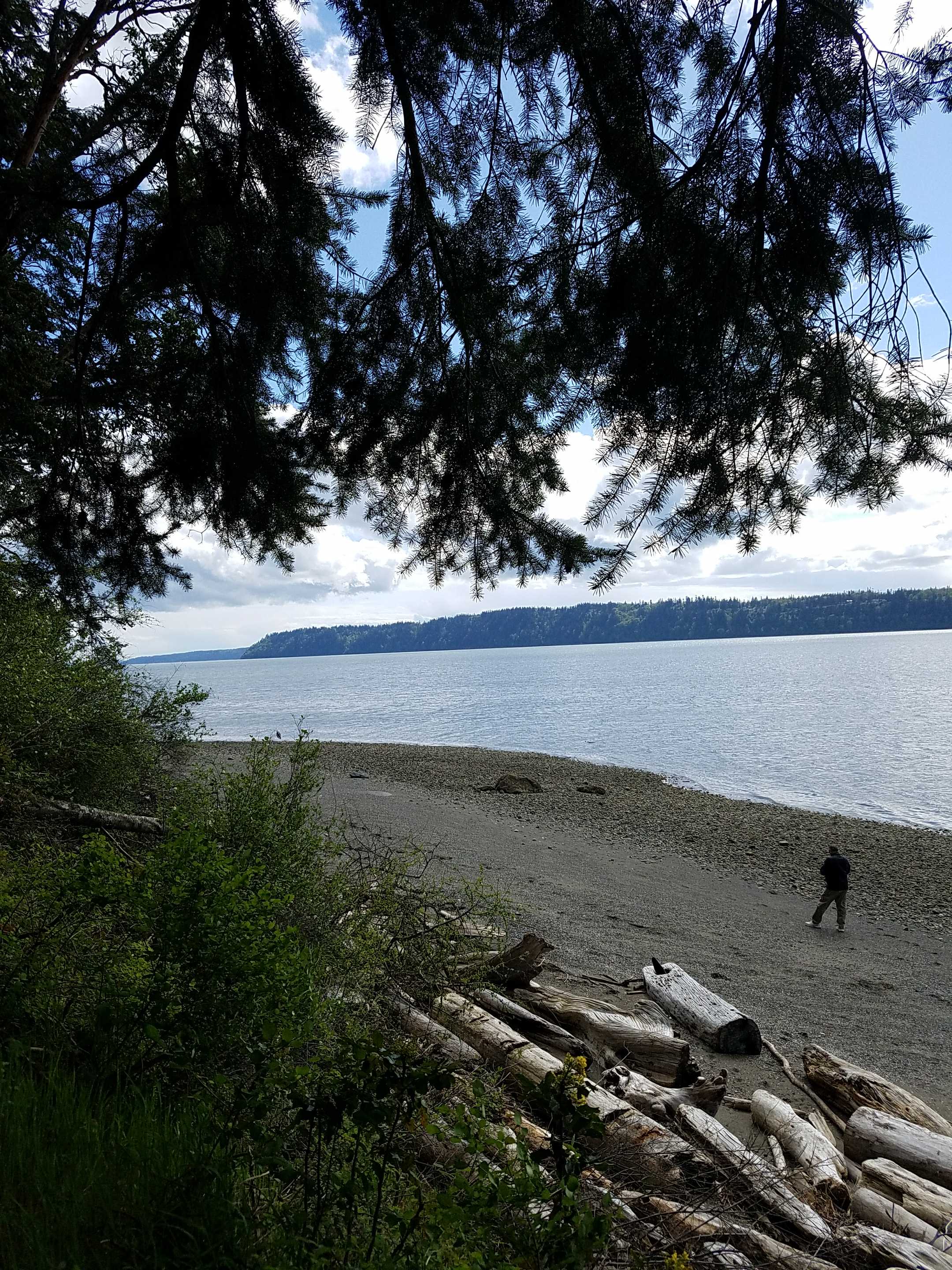
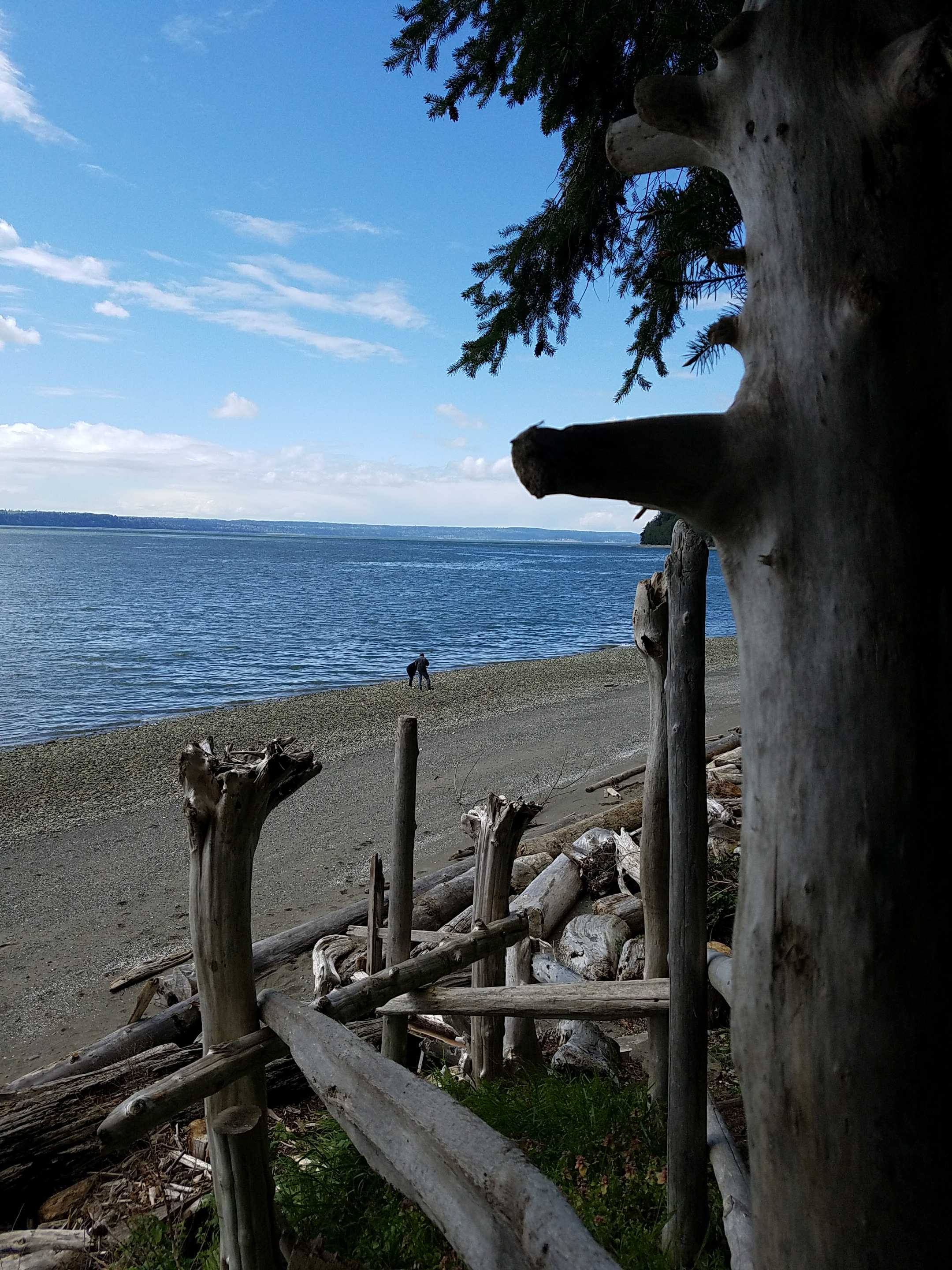
Latitude: 48.107384
Longitude: -122.3475167
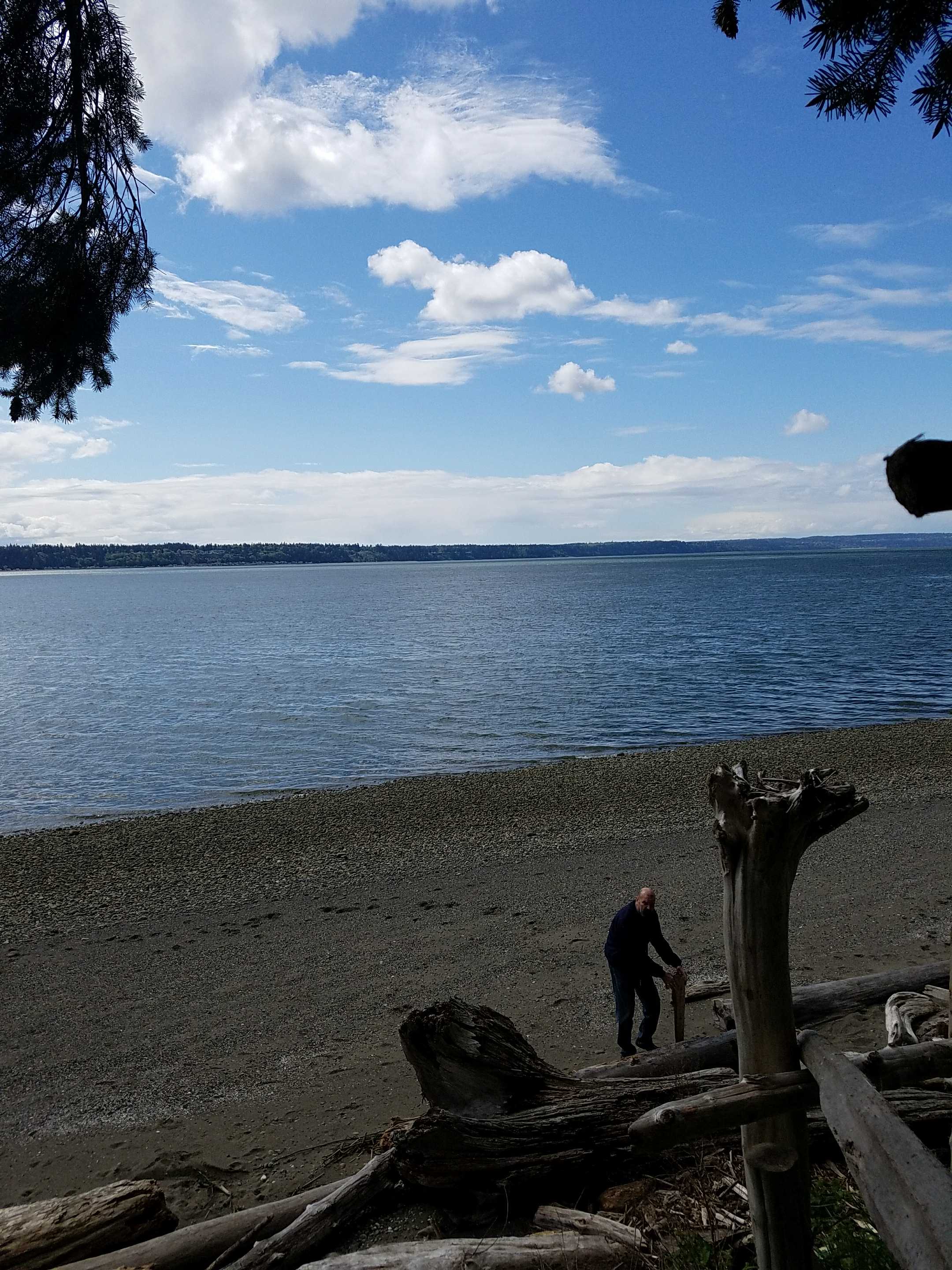
Beach Profile #1
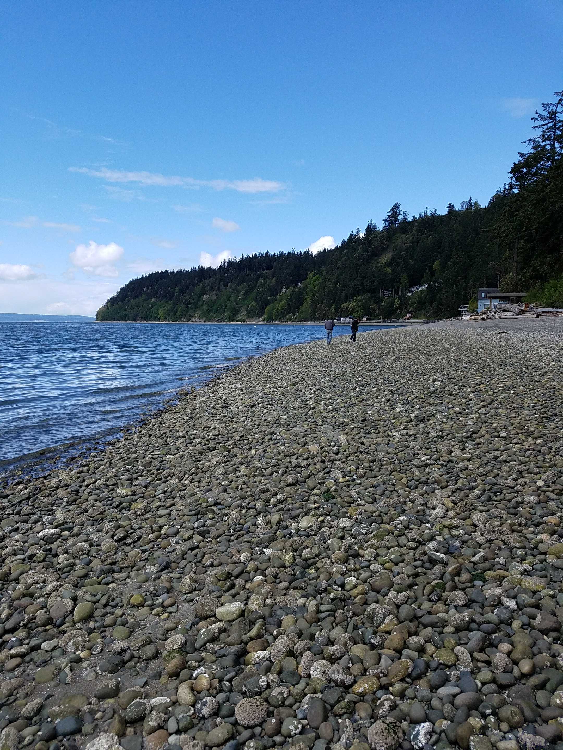
Latitude: 48.1073582
Longitude: -122.3477826
Taken from: North
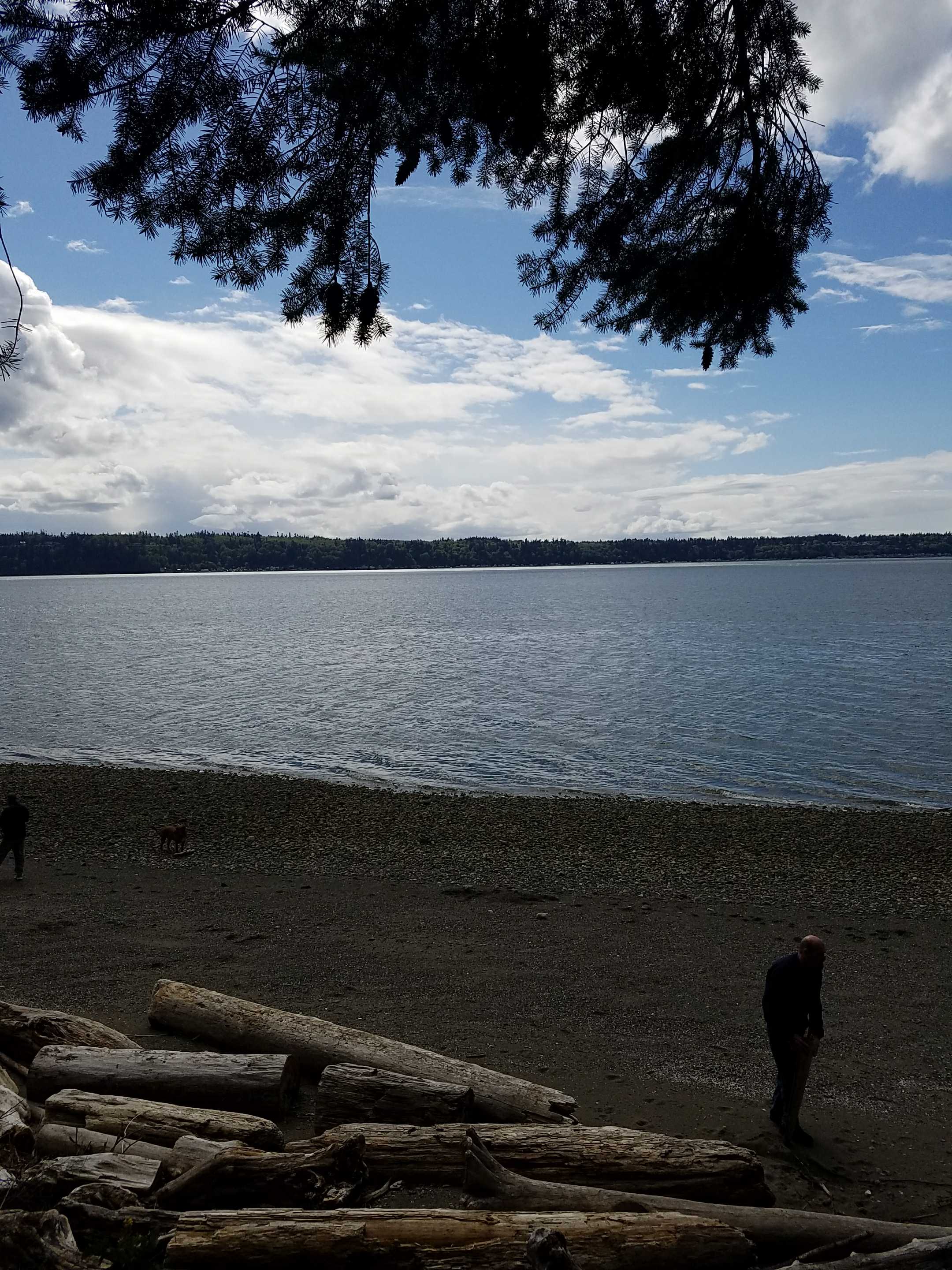
Beach Profile #2
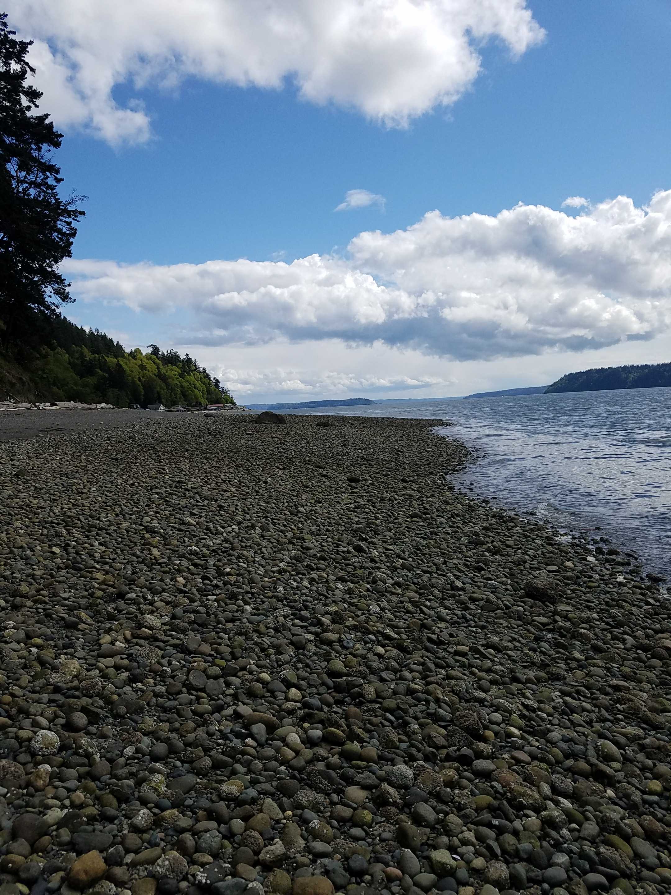
Latitude: 48.1073719
Longitude: -122.3477563
Taken from: South
Reference Feature
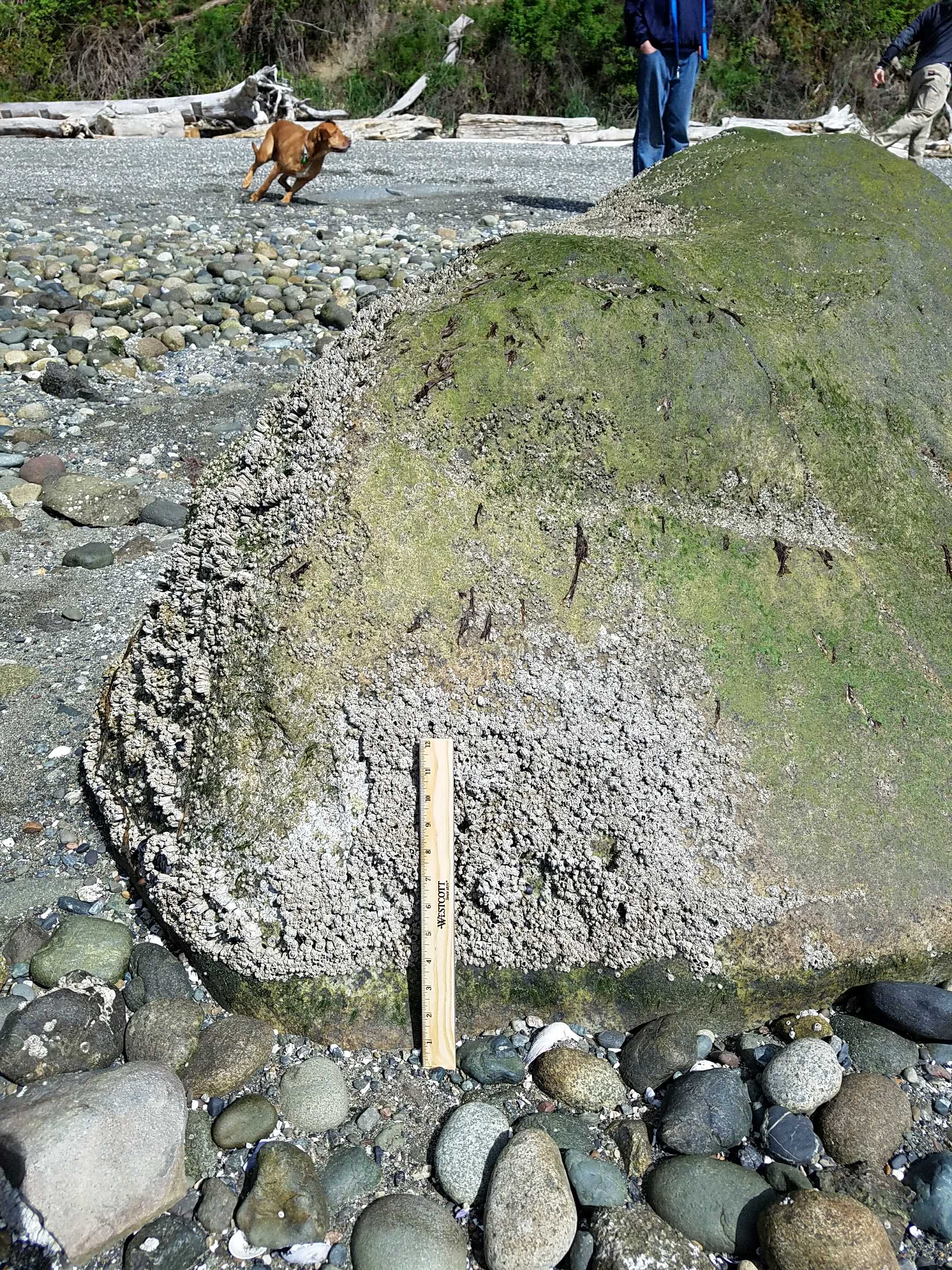
Latitude: 48.1069912
Longitude: -122.3476104
Substrate
Latitude: 48.1071055
Longitude: -122.3475907
Tidal Overview
![]() 3 hours 34 minutes before high tide
3 hours 34 minutes before high tide
Data from Port Townsend (19.7 miles away)
Water Level (at time of report): 3:20 pm, 3.9' MLLW
High Tide (Predicted): 6:49 pm, 8.5' MLLW
High Tide (Observed): 6:54 pm, 8.5' MLLW
■ Observed
■ Predicted water level
⬤ Report time
Weather Overview
Wind Speed: 8.9 MPH
Wind Direction: NW (316°)
Temperature: 52℉
Rainfall (Calendar Day): 0"
Rainfall (Past 24 Hours): 0.44"
User-observed Weather:
- Partly cloudy
You must be logged in to post a comment.