Snohomish County
Tulalip, WA
Storm Surge Report
User Submitted Data
Report type: Pre-storm
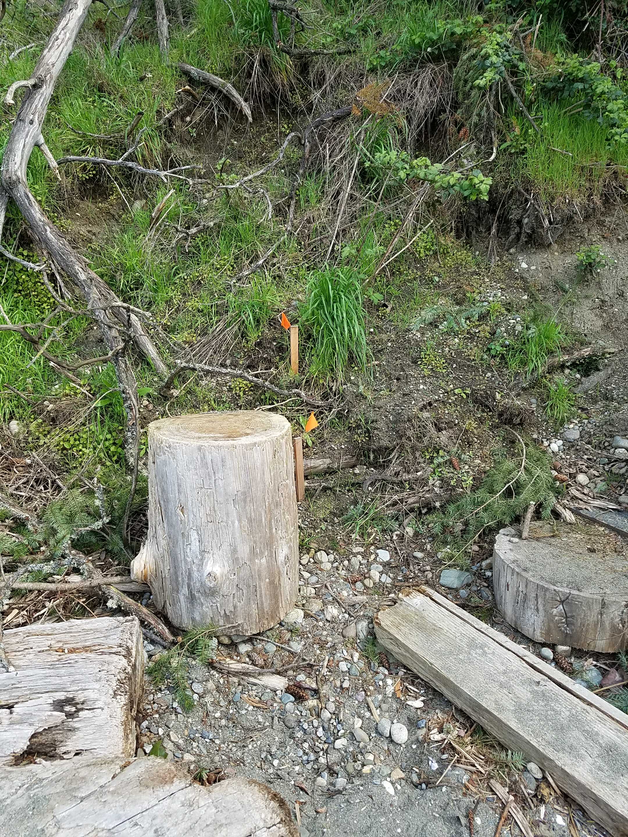
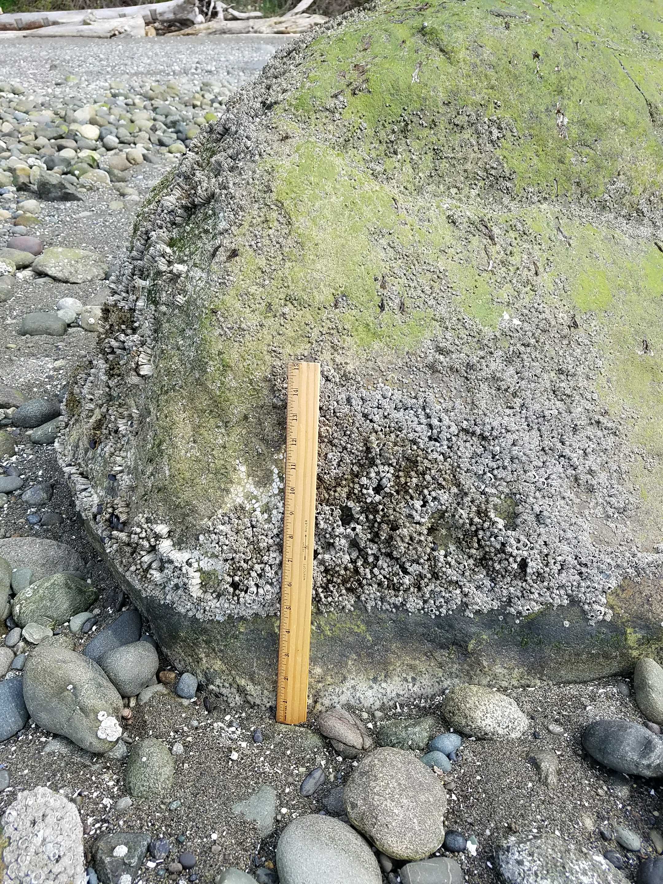
Debris seen:
- Cobbles
Measurement represents:
- debris line
Wave height: 0.5ft
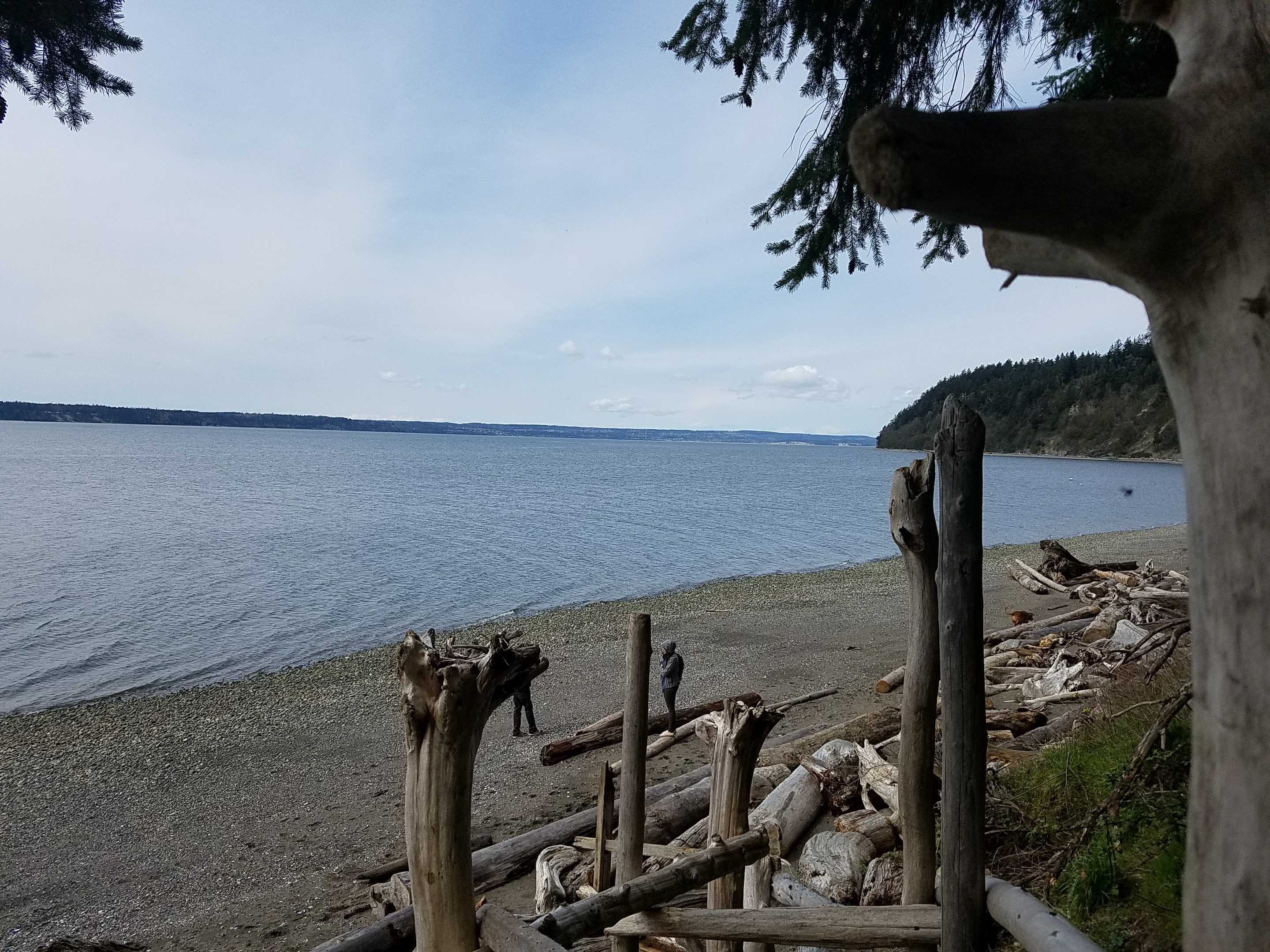
Stake number: 1
Stake Photo
Latitude: 48.1074476
Longitude: -122.3475345
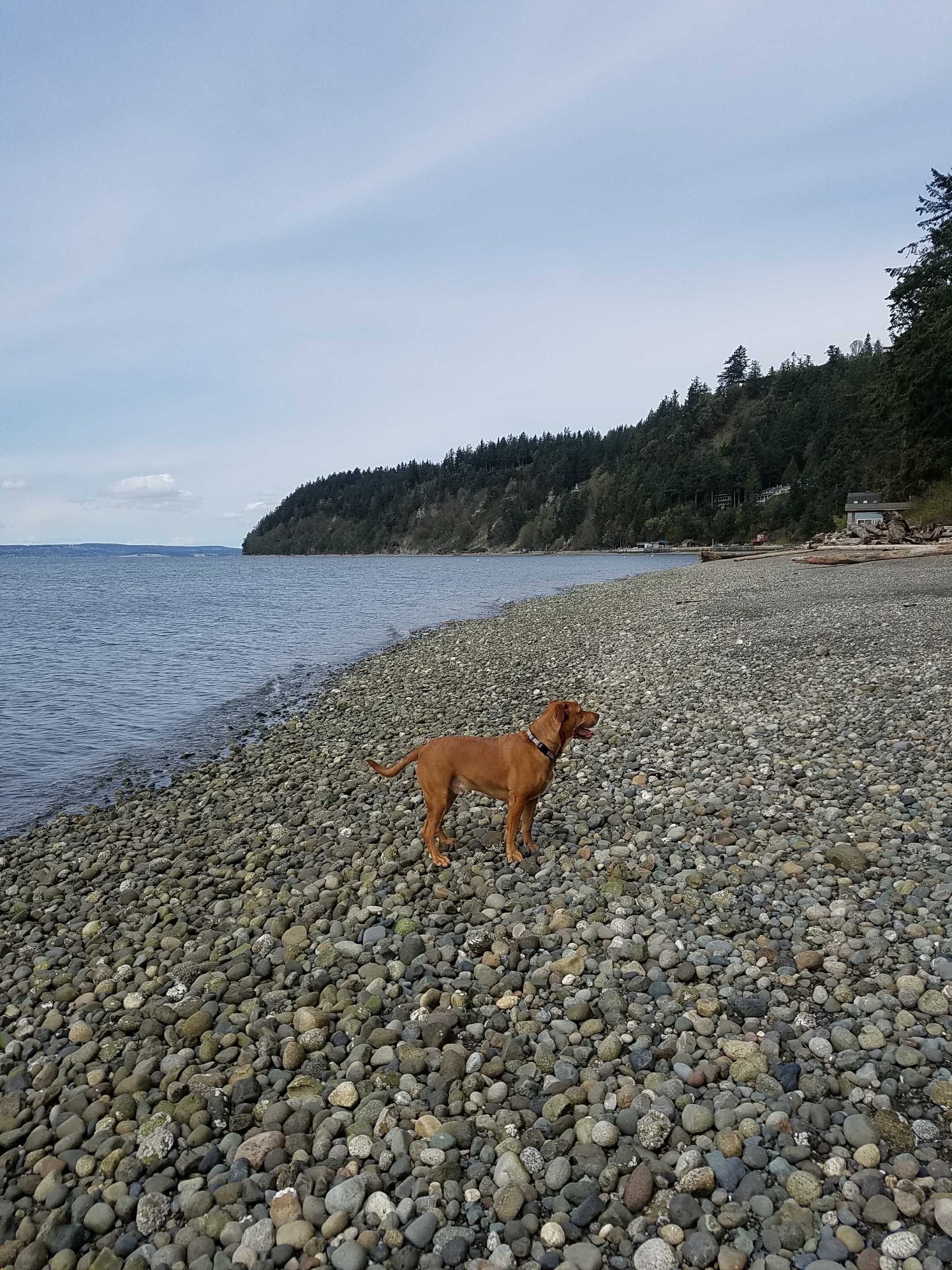
From Vantage Point
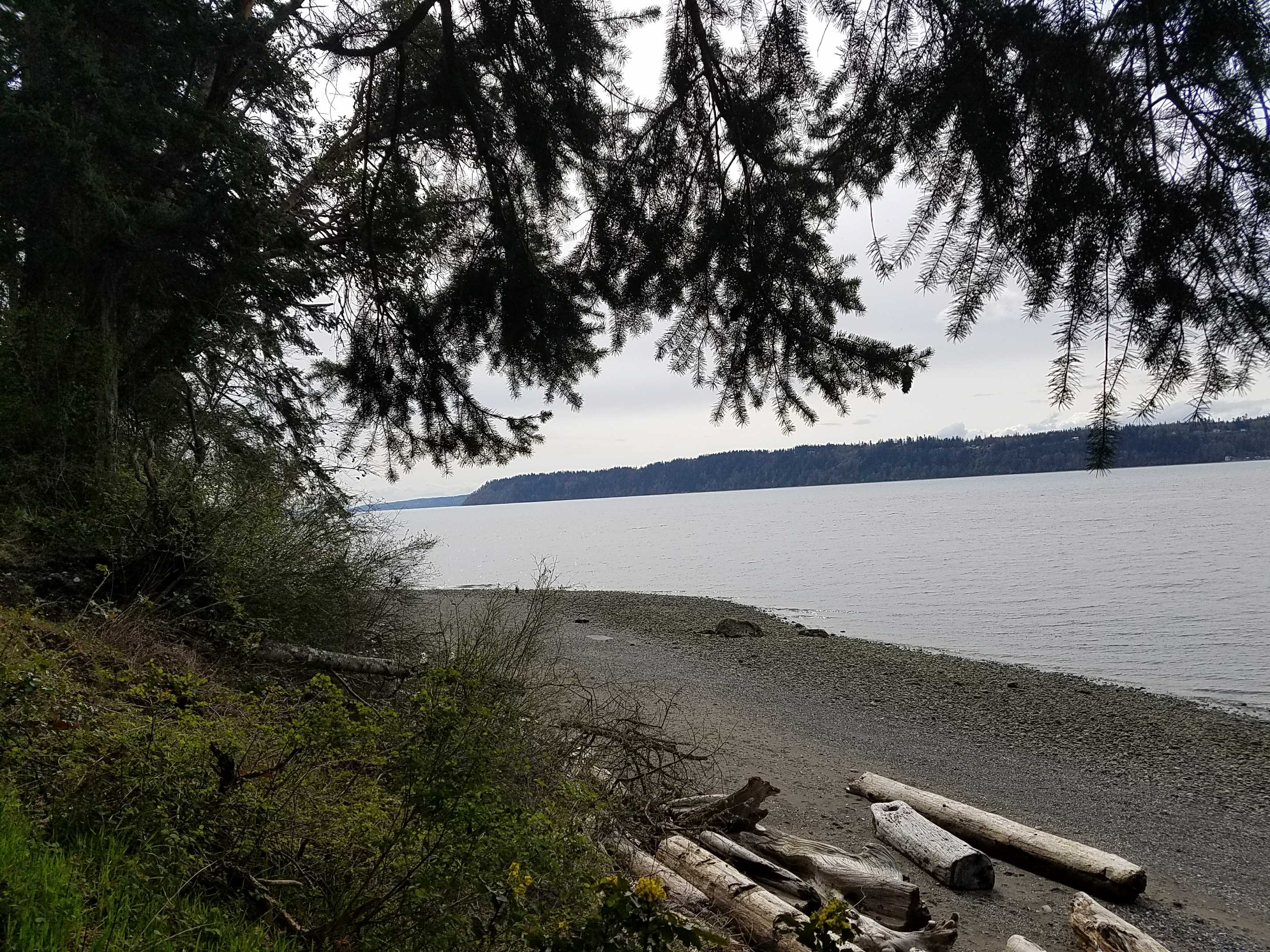
Latitude: 48.1072816
Longitude: -122.347429
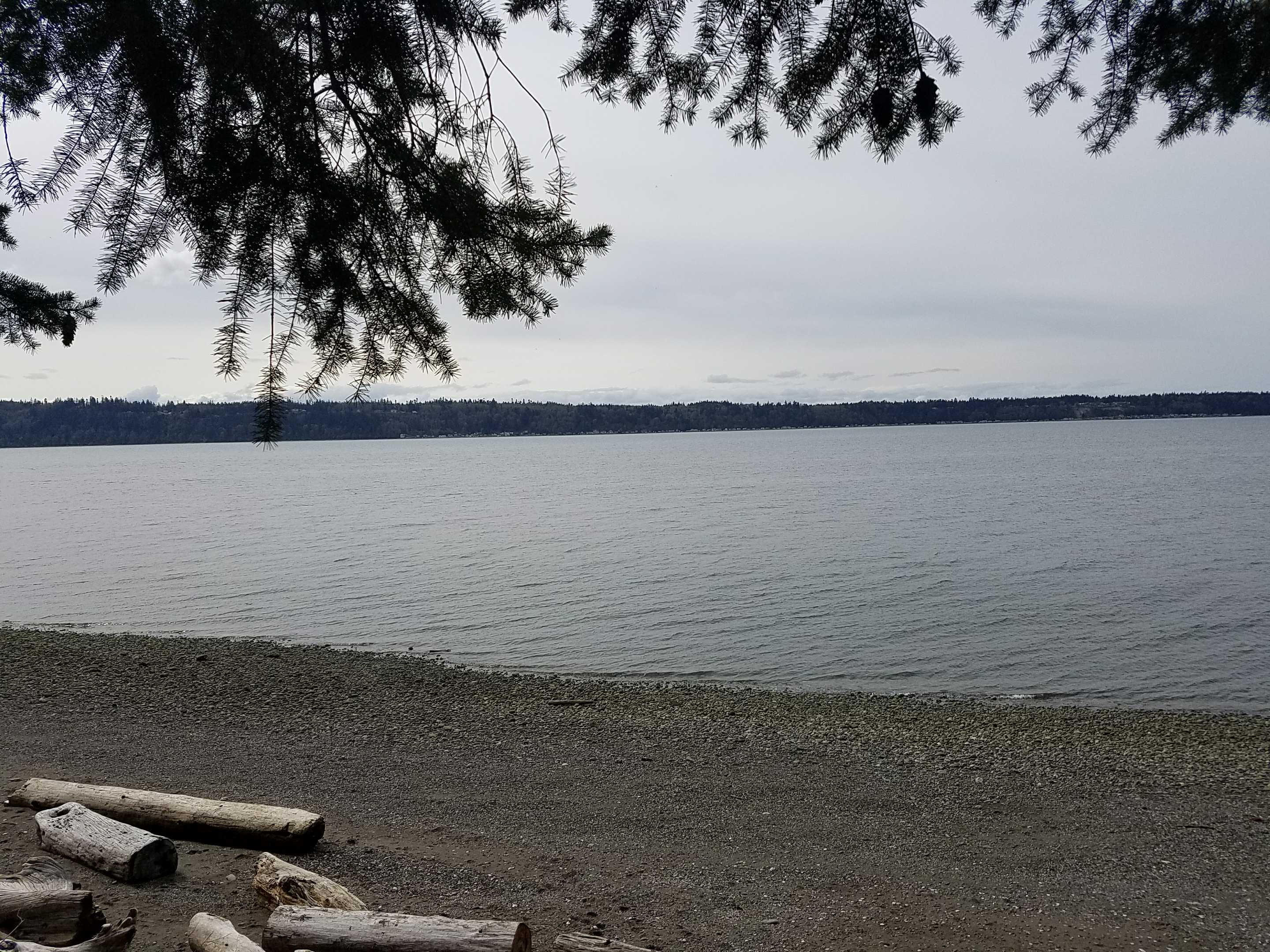
Beach Profile #1
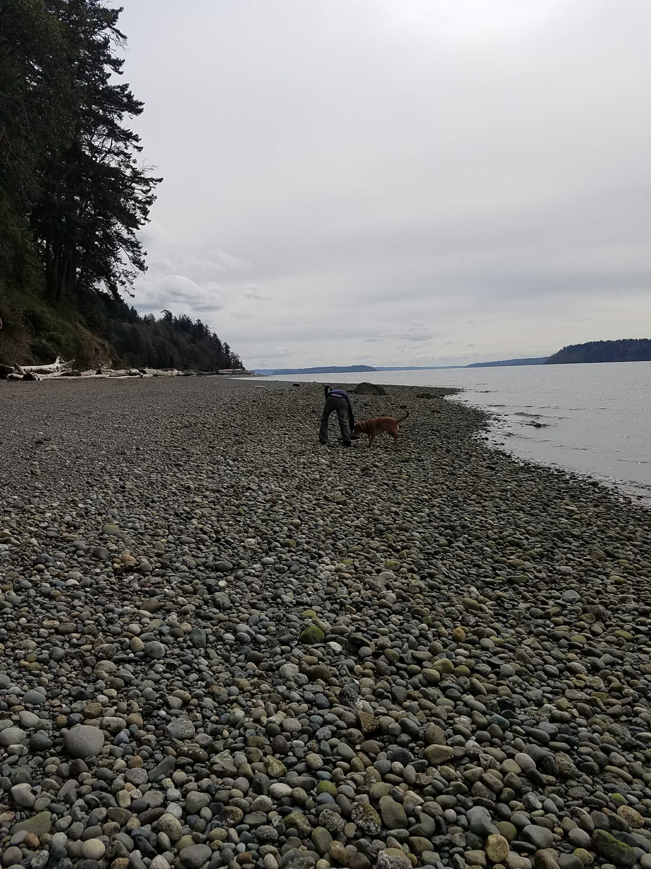
Latitude: 48.1073851
Longitude: -122.3477042
Taken from: South
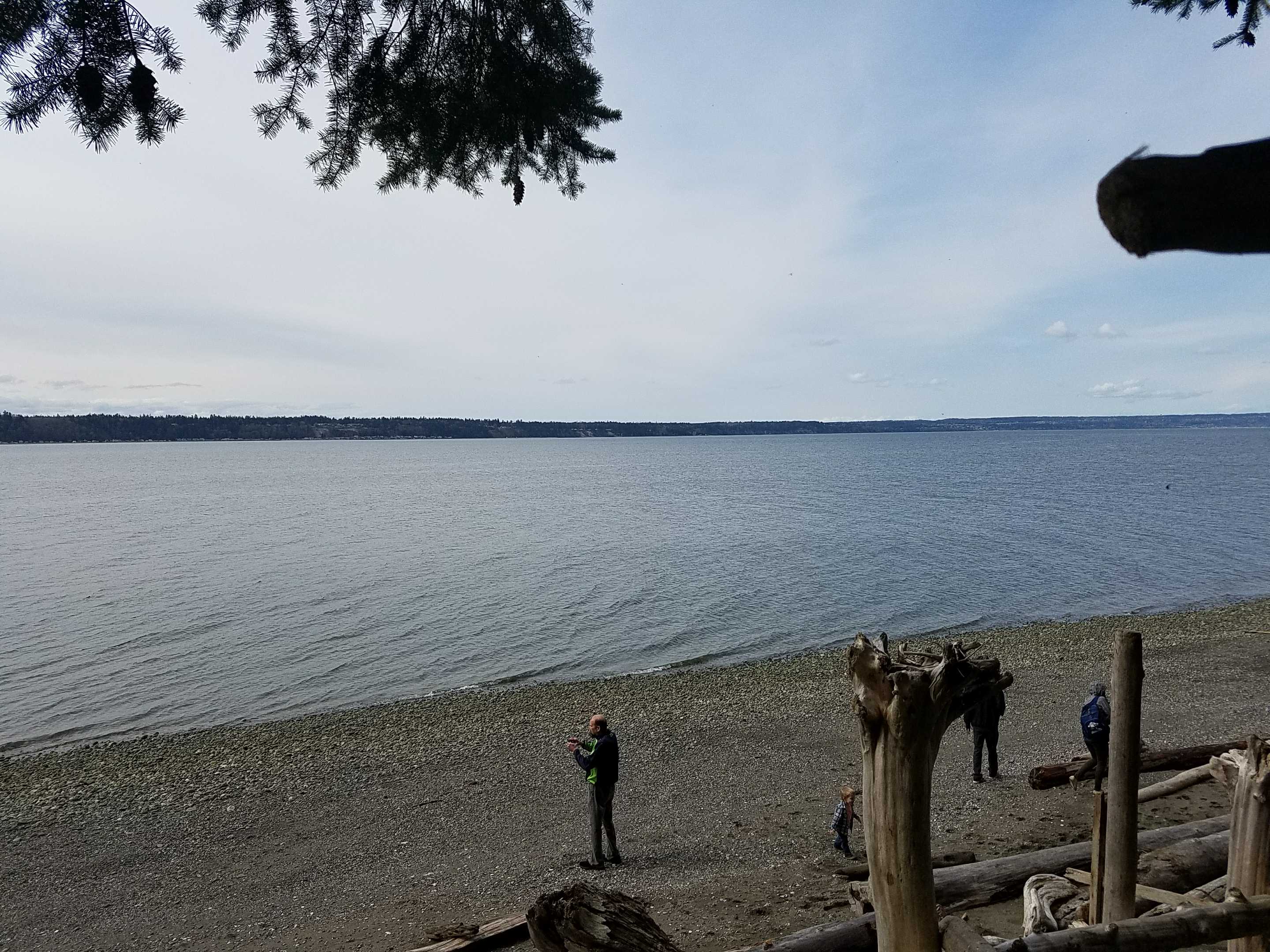
Beach Profile #2
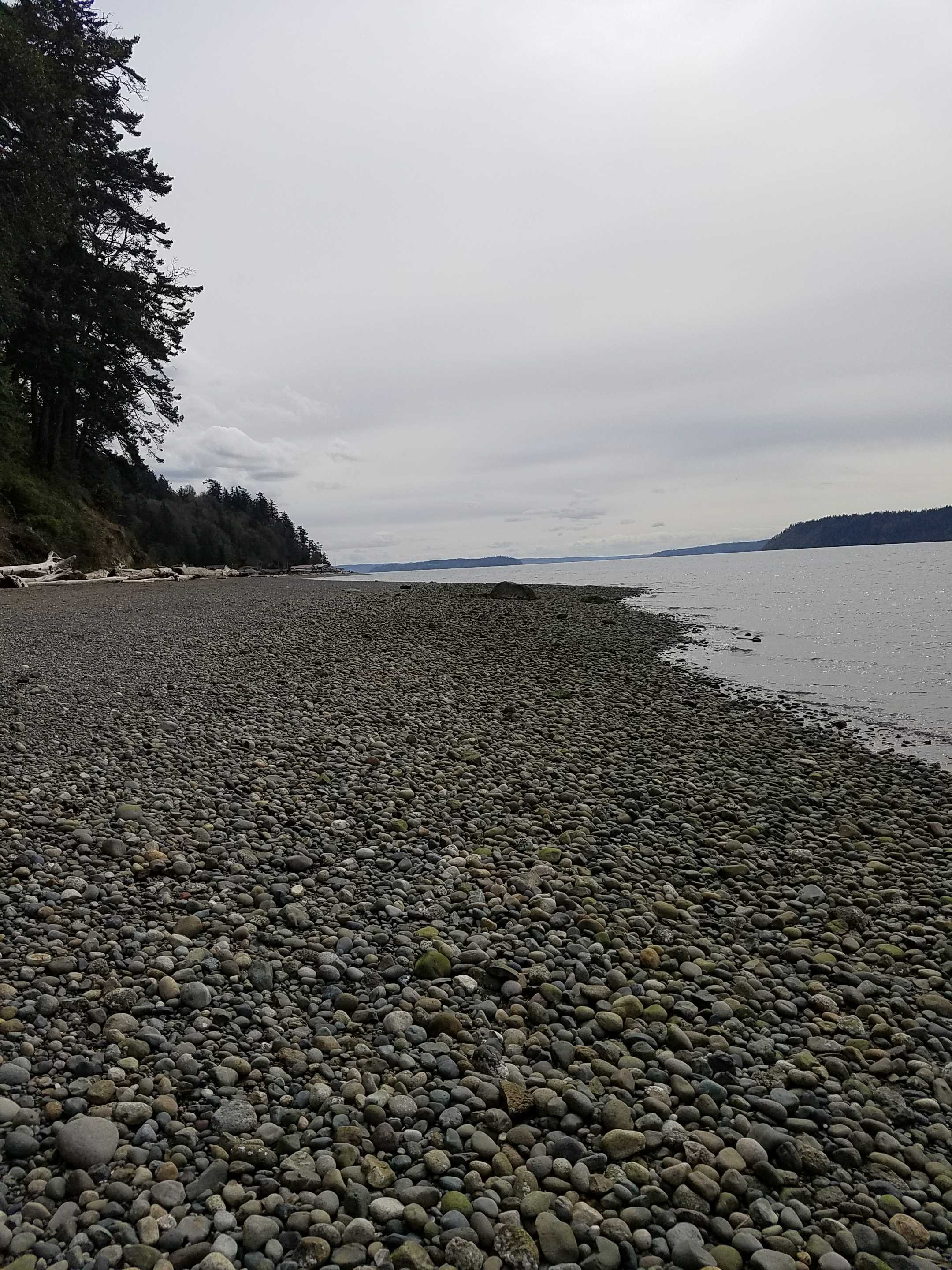
Latitude: 48.1073471
Longitude: -122.3476365
Taken from: South
Reference Feature
Latitude: 48.1069937
Longitude: -122.3476795
Substrate
Latitude: 48.1069939
Longitude: -122.347688
Tidal Overview
![]() 2 hours 56 minutes before high tide
2 hours 56 minutes before high tide
Data from Port Townsend (19.7 miles away)
Water Level (at time of report): 1:40 pm, 5.4' MLLW
High Tide (Predicted): 4:33 pm, 7.2' MLLW
High Tide (Observed): 4:36 pm, 7.8' MLLW
Loading NOAA Tide Data…
Weather Overview
Wind Speed: 10.5 MPH
Wind Direction: S (172°)
Temperature: 52℉
Rainfall (Calendar Day): 0"
Rainfall (Past 24 Hours): 0.05"
User-observed Weather:
- Partly cloudy