Snohomish County
Tulalip, WA
Storm Surge Report
User Submitted Data
Report type: Pre-storm
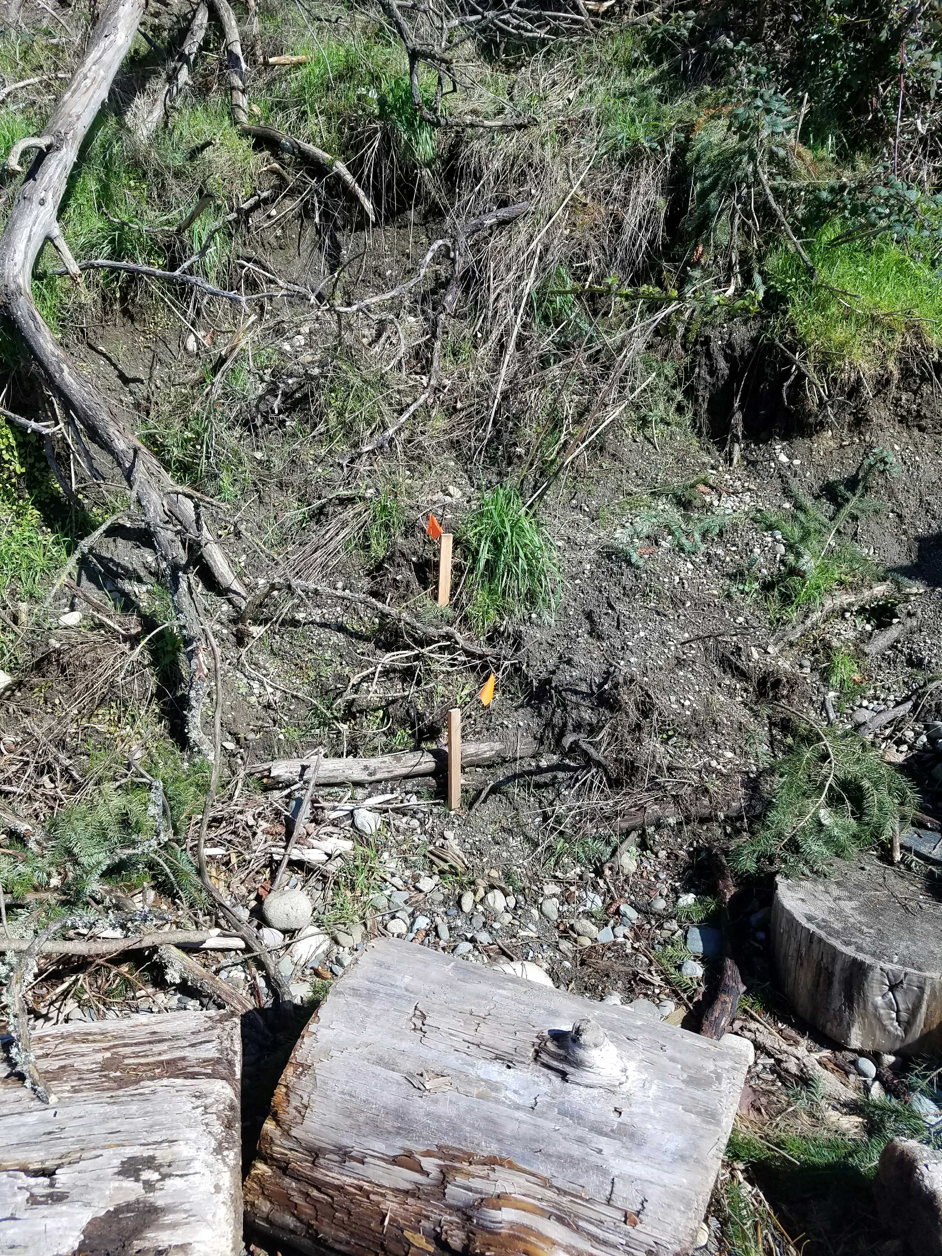
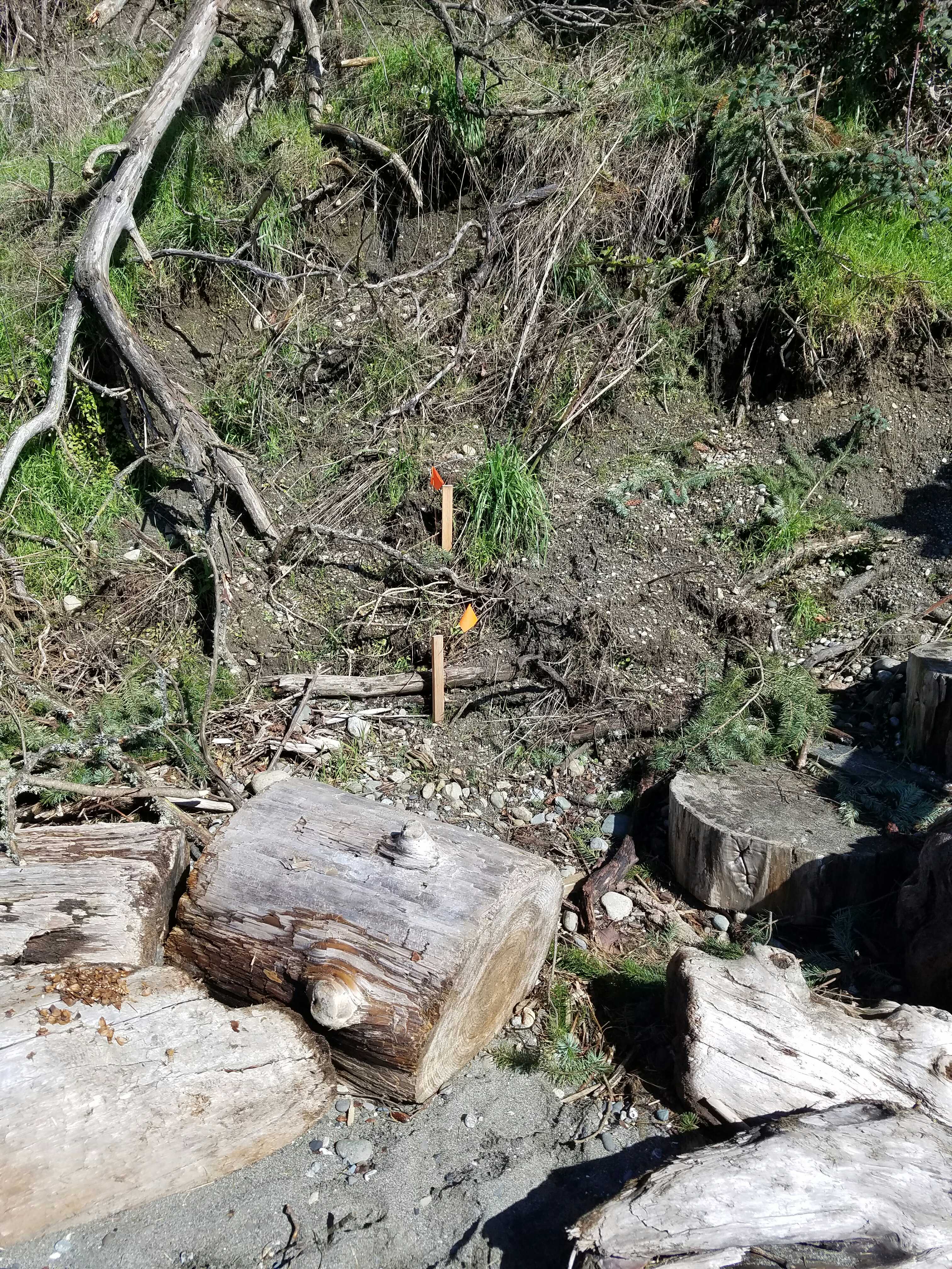
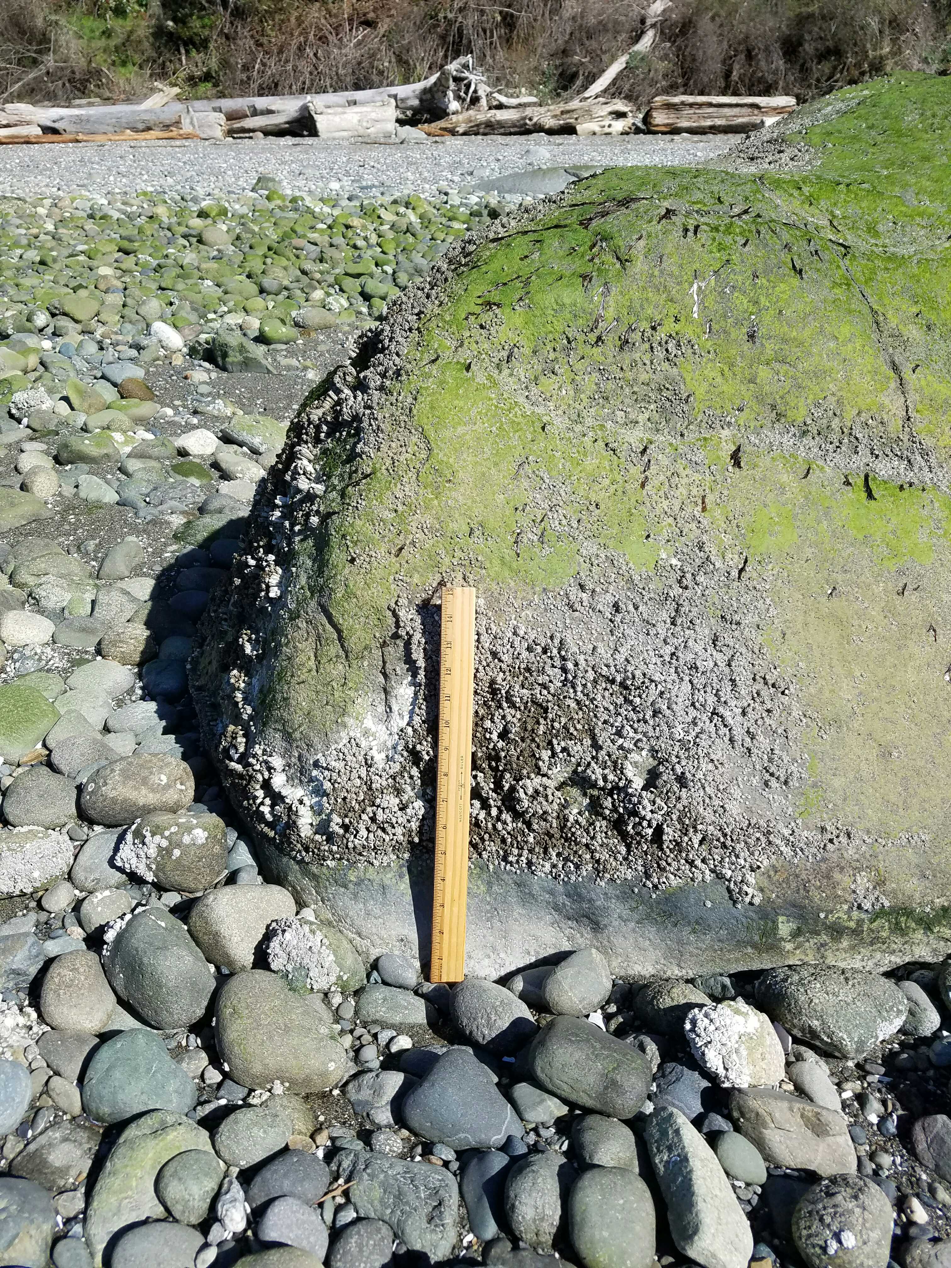
Debris seen:
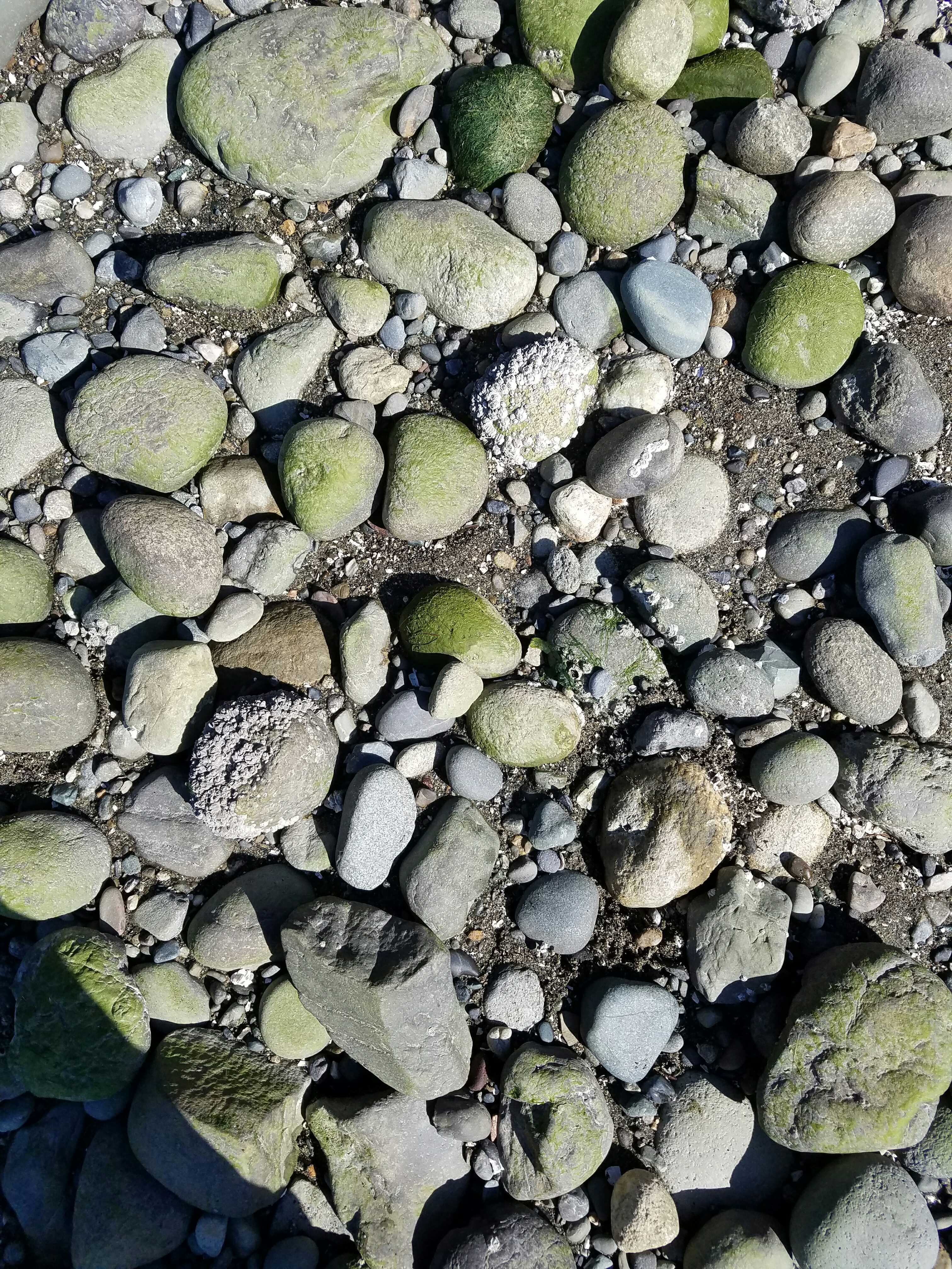
- Cobbles
Measurement represents:
- debris line
Wave height: 0.5ft
Stake number: 1
Stake Photo
Latitude: 48.10738574
Longitude: -122.34756487
From Vantage Point
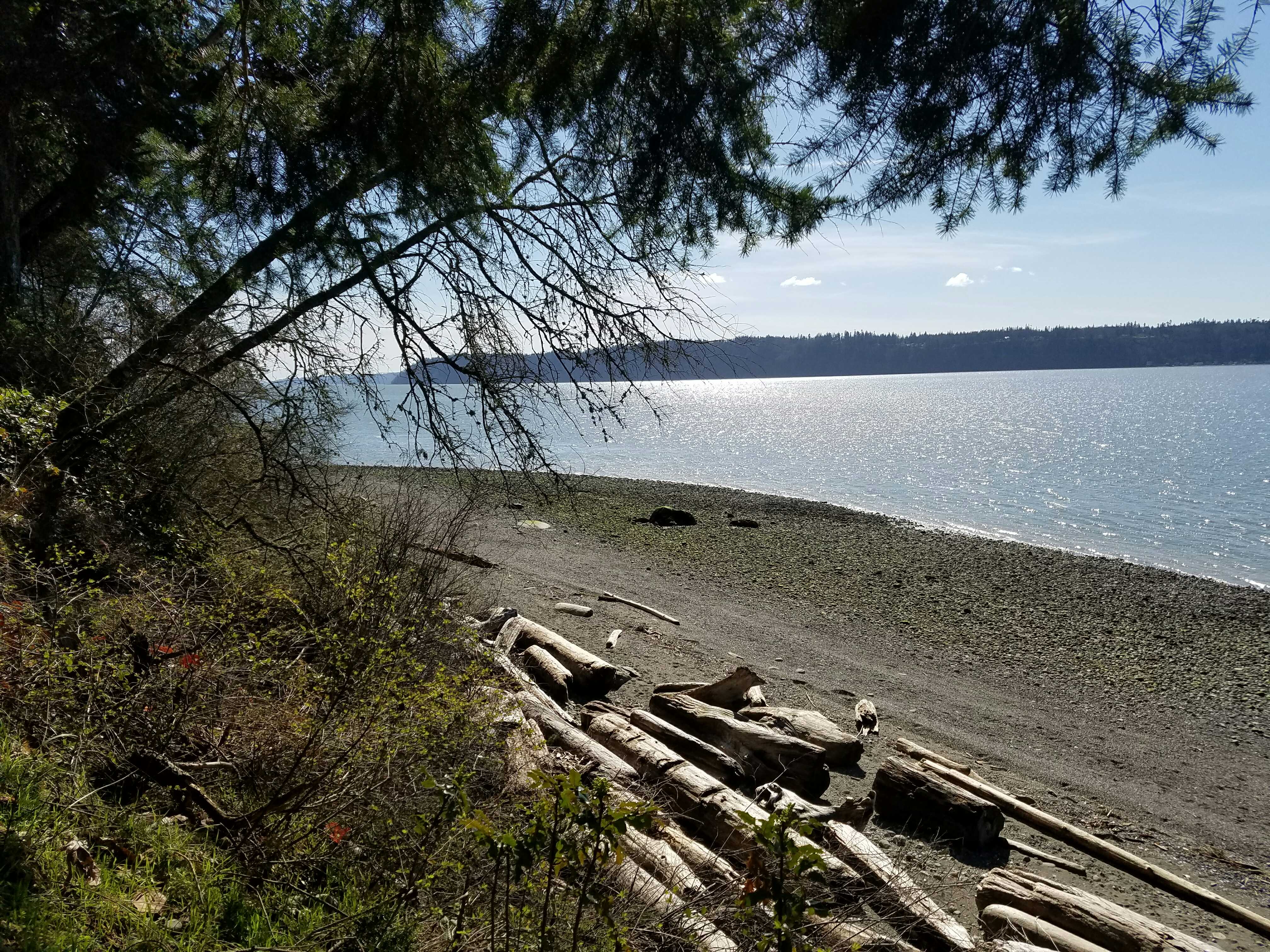
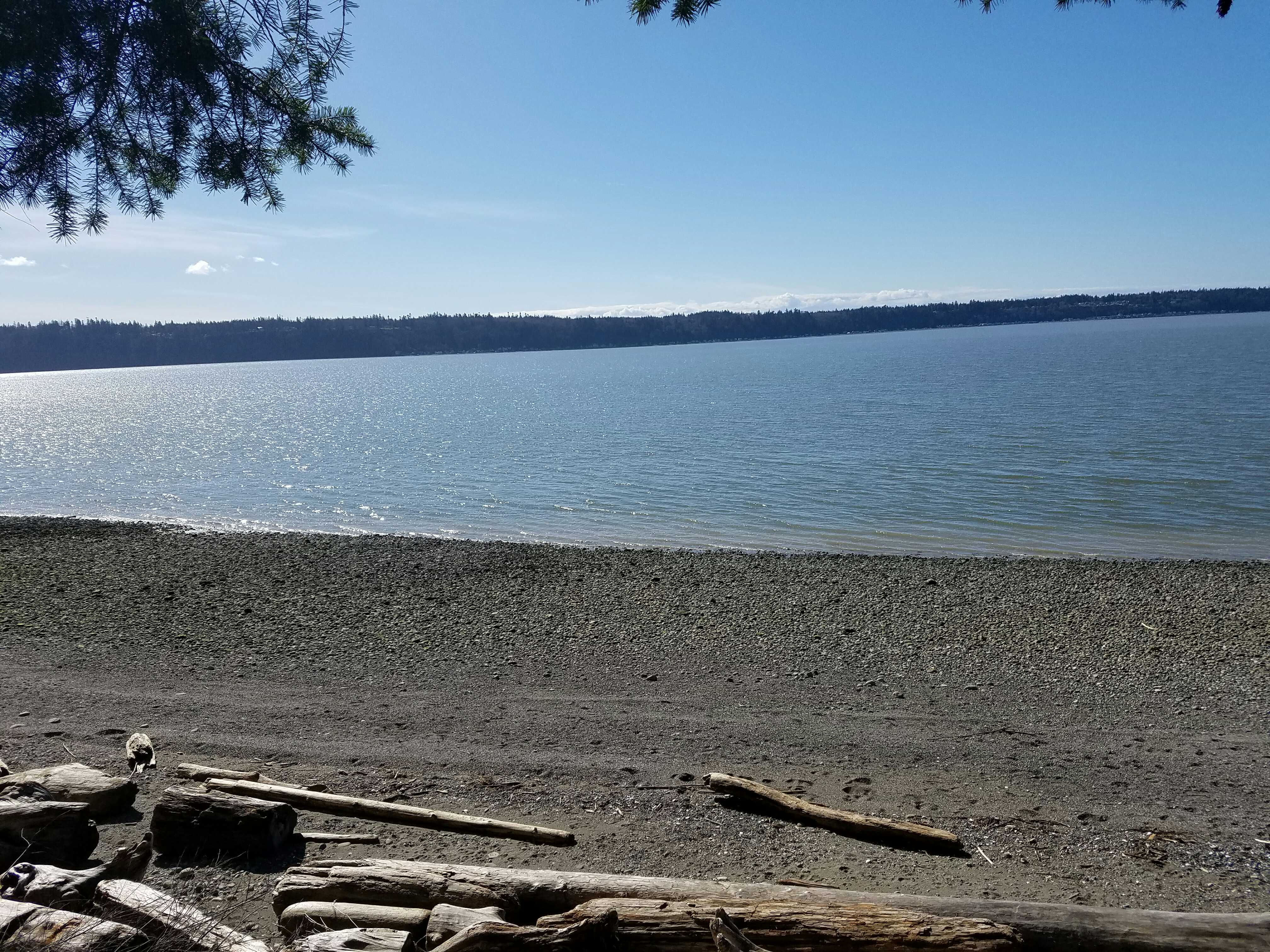
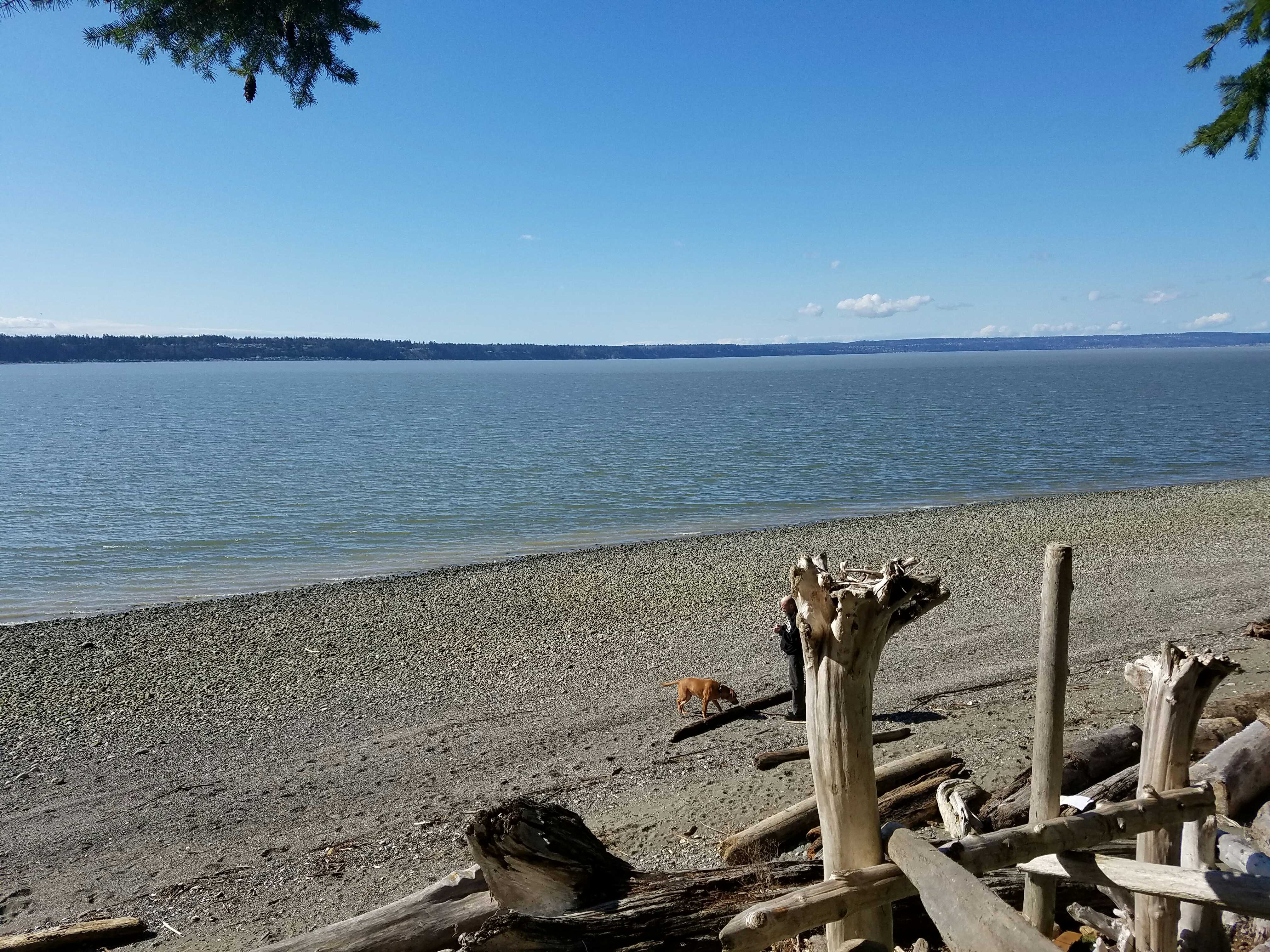
Latitude: 48.10722639
Longitude: -122.34748695
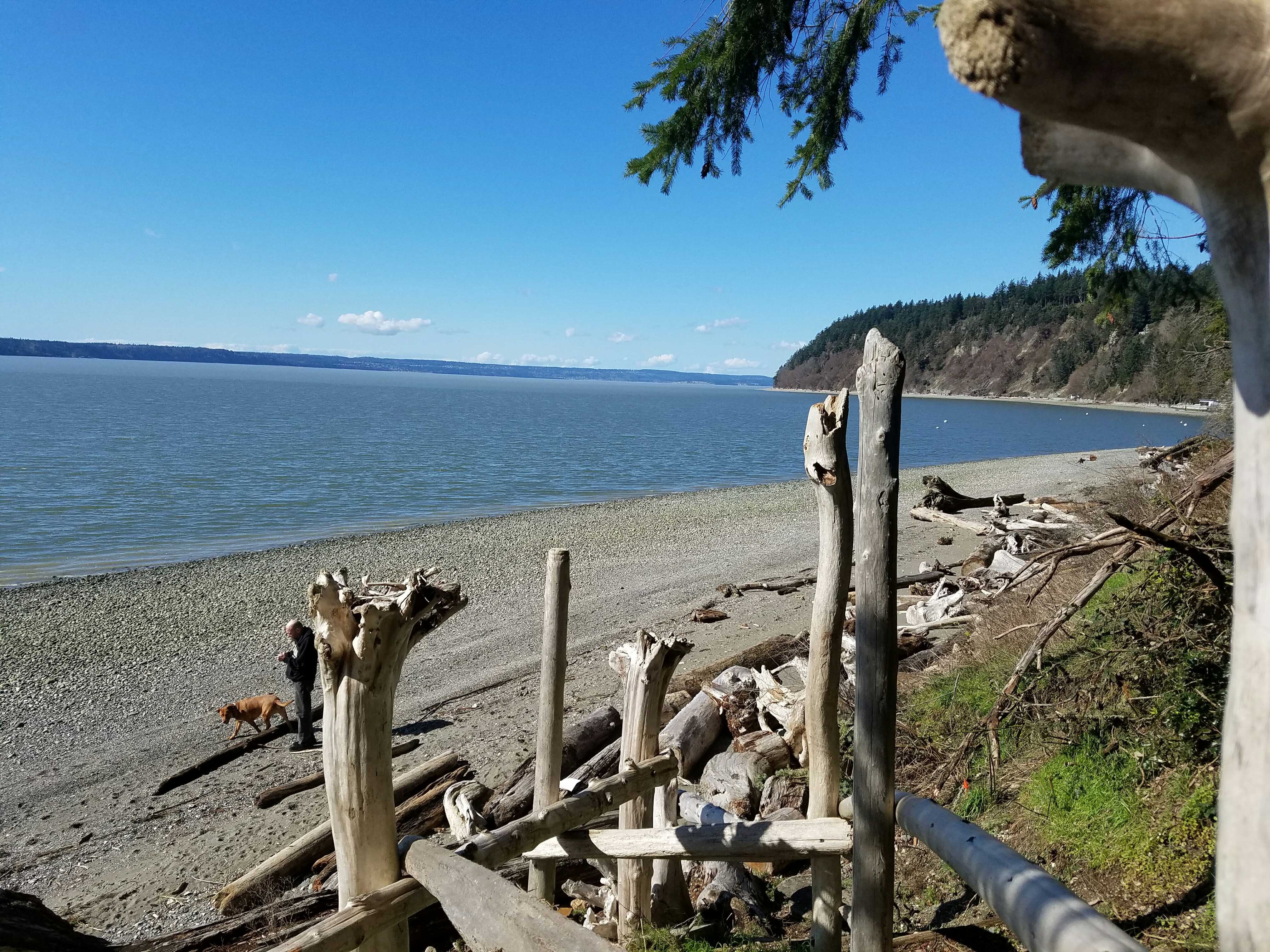
Beach Profile #1
Latitude: 48.10733993
Longitude: -122.34776988
Taken from: North
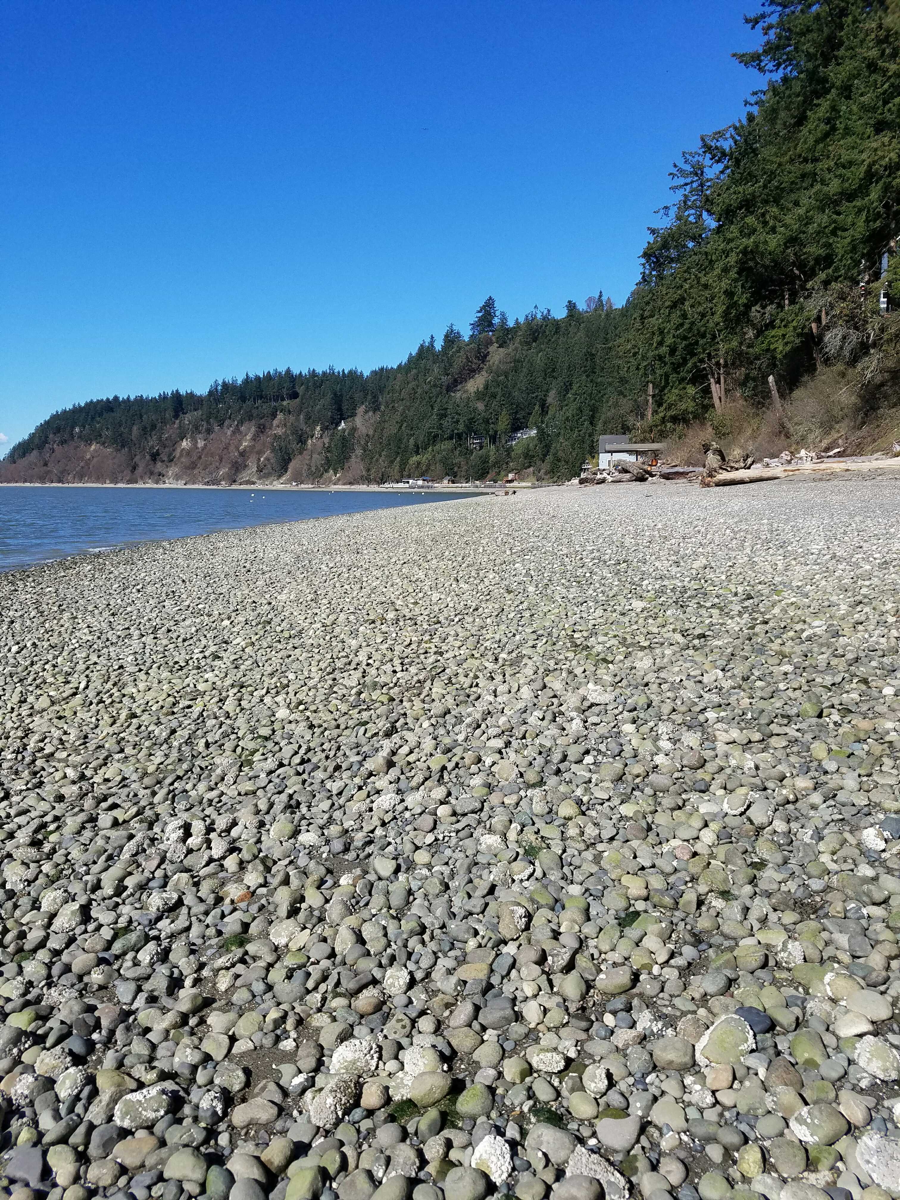
Beach Profile #2
Latitude: 48.10733515
Longitude: -122.34772519
Taken from: South
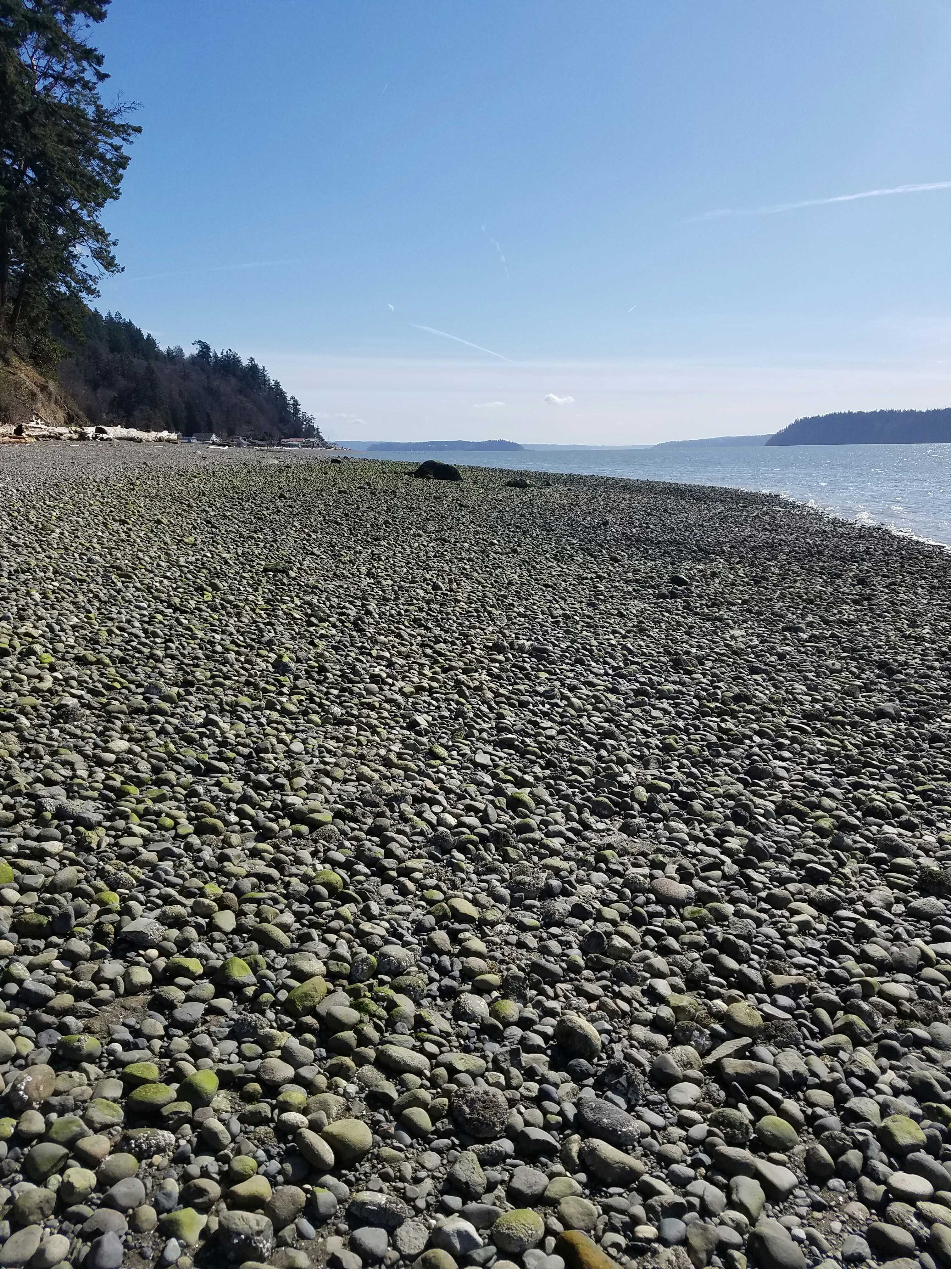
Reference Feature
Latitude: 48.10699764
Longitude: -122.34765838
Substrate
Latitude: 48.10704001
Longitude: -122.34769255
Tidal Overview
![]() 6 hours 13 minutes after high tide
6 hours 13 minutes after high tide
Data from Port Townsend (19.7 miles away)
Water Level (at time of report): 2:55 pm, 1.7' MLLW
High Tide (Predicted): 8:54 am, 7.4' MLLW
High Tide (Observed): 8:42 am, 7.2' MLLW
Loading NOAA Tide Data…
Weather Overview
Wind Speed: 7.6 MPH
Wind Direction: NW (320°)
Temperature: 49℉
Rainfall (Calendar Day): 0"
Rainfall (Past 24 Hours): 0.2"
User-observed Weather:
- Sunny