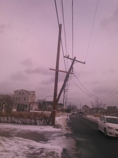
Roads
Street/Road: Unspecified
Marinas and Harbors
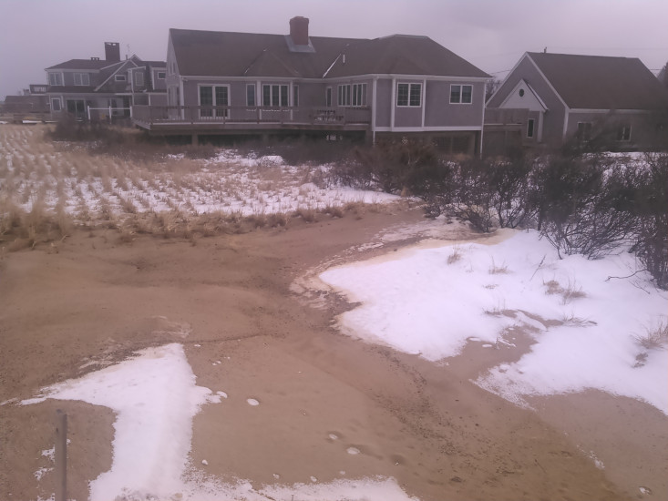
Buildings
Hazardous Materials
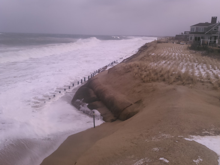
Beach
State: Y
Comments: Looks like 1/2 of temporary dune is gone with some splash over. First groin from north has green water at shoreline. Ends of coir exposed but no end effects yet. Stairways hanging 6' above beach. I have a lot more pics.
Coastal Structures
Natural Resources
Specific Impacts:
- Damaged sand fencing
- Eroded beach
- Eroded dune
Current Response
Response:
- None
You must be logged in to post a comment.