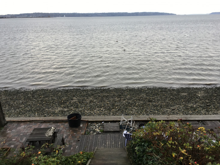
Report type: Post-storm
Debris seen:
- Coarse sand
Measurement represents:
- erosion
Wave height: 2ft
Stake number: 0
Stake Photo

Latitude: 48.0302948691
Longitude: -122.233768702
From Vantage Point
Latitude: 48.0304488447
Longitude: -122.233847659
Beach Profile #1

Latitude: 48.0303343898
Longitude: -122.233816143
Taken from: West
Beach Profile #2

Latitude: 48.0303401733
Longitude: -122.233823687
Taken from: East
Reference Feature

Latitude: 48.0303401733
Longitude: -122.233823687
Substrate

Latitude: 48.0303401733
Longitude: -122.233823687
You must be logged in to post a comment.