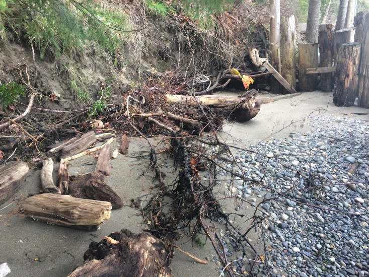
Report type: Pre-storm
Debris seen:
- Cobbles
- Fine sand
Other debris: Initial report
Measurement represents:
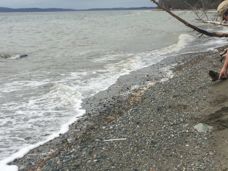
- inundation
- debris line
Wave height: 0ft
Stake number: 0
Stake Photo
Latitude: 48.1510761241
Longitude: -122.36426211
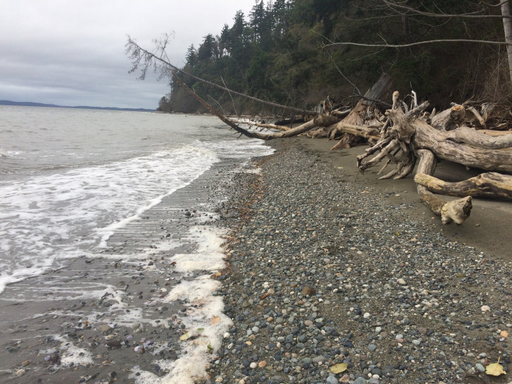
From Vantage Point
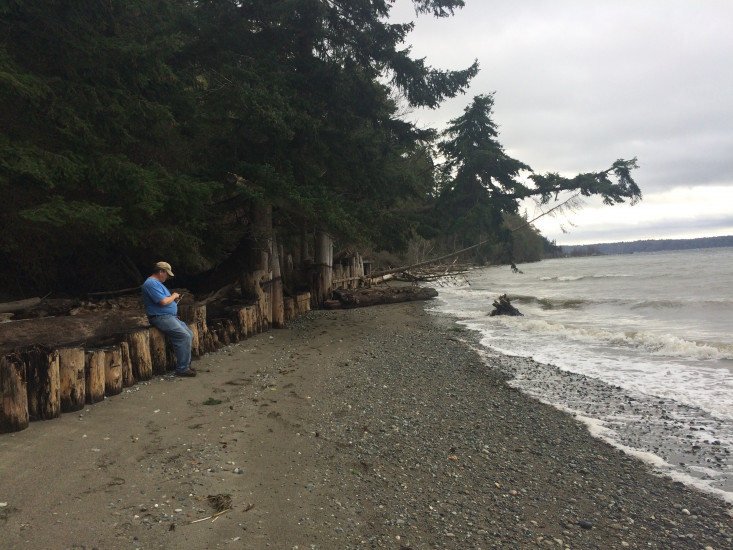
Latitude: 48.1512616994
Longitude: -122.364308126
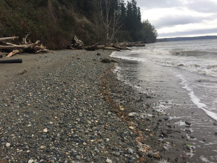
Beach Profile #1
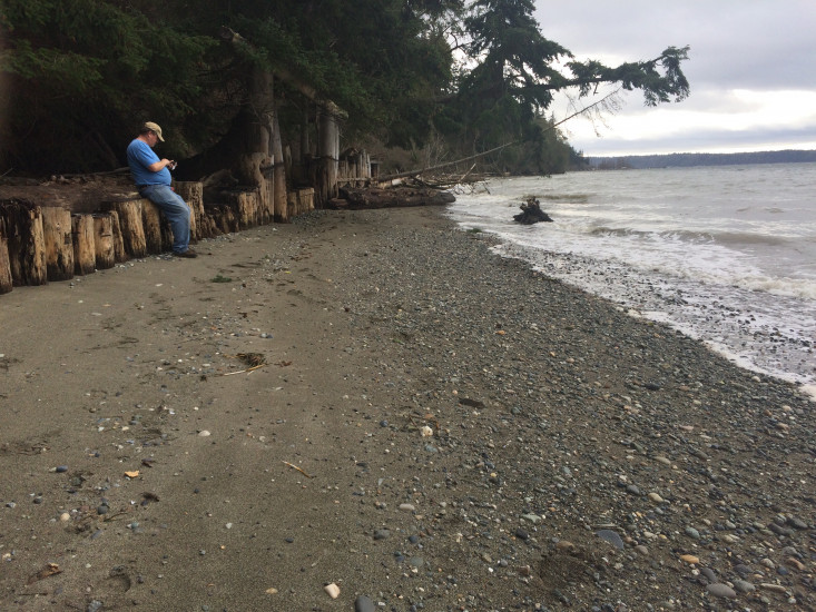
Latitude: 48.1512642978
Longitude: -122.364344085
Taken from: South
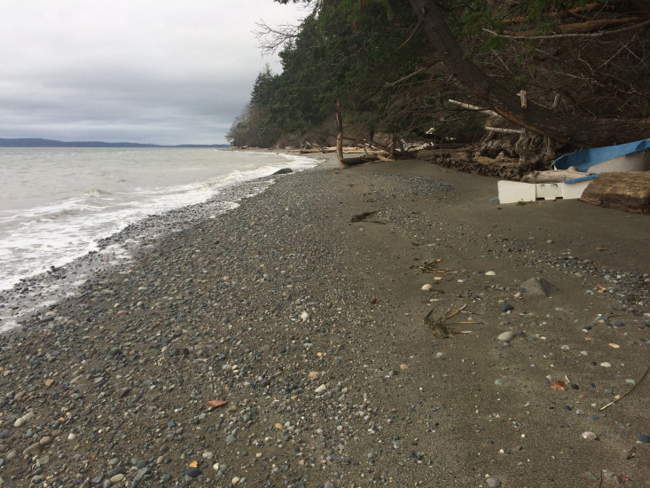
Beach Profile #2
Latitude: 48.1504591741
Longitude: -122.364149792
Taken from: South
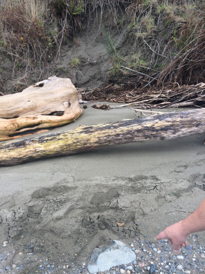
Reference Feature
Latitude: 48.1504080026
Longitude: -122.364207627
Substrate
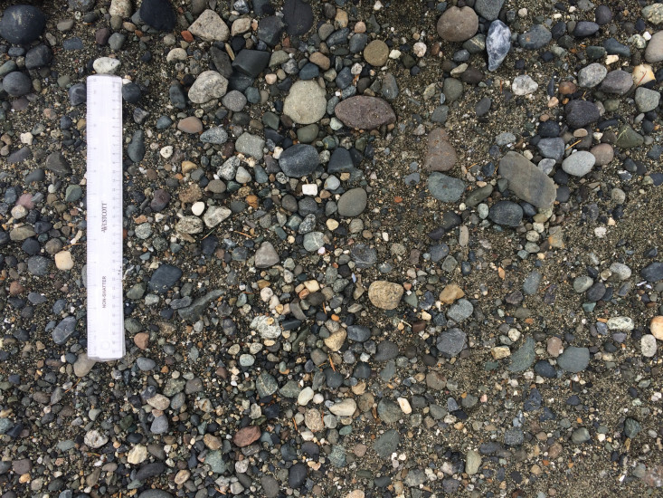
Latitude: 48.150422168
Longitude: -122.364214584
You must be logged in to post a comment.
"This was the first report from this beach. Includes mine and neighbors waterfront of 320'"