Snohomish County
Stanwood, WA
Storm Surge Report
Report type: Pre-storm
Debris seen:
- Medium gravel
- Medium sand
Other debris: Seaweed and big sticks and leaves
Measurement represents:
- debris line
Wave height: 1ft
Stake number: 2
Stake Photo

Latitude: 48.134716996
Longitude: -122.367900778
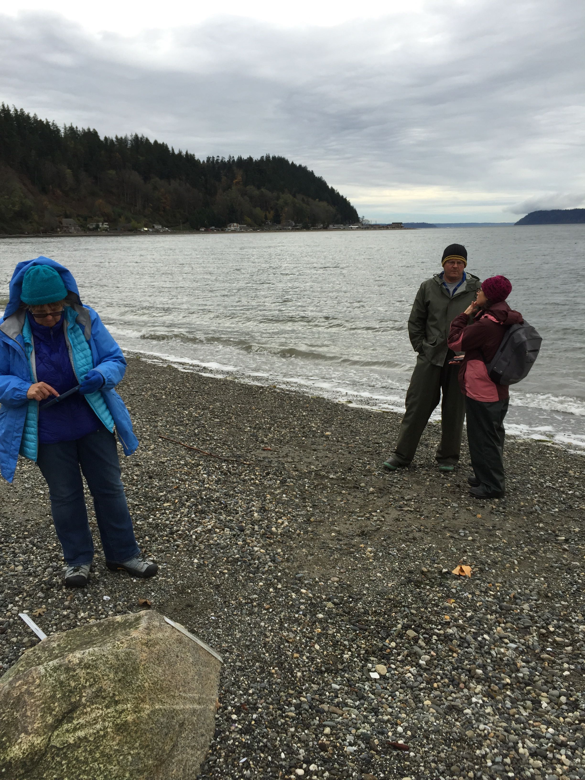
From Vantage Point
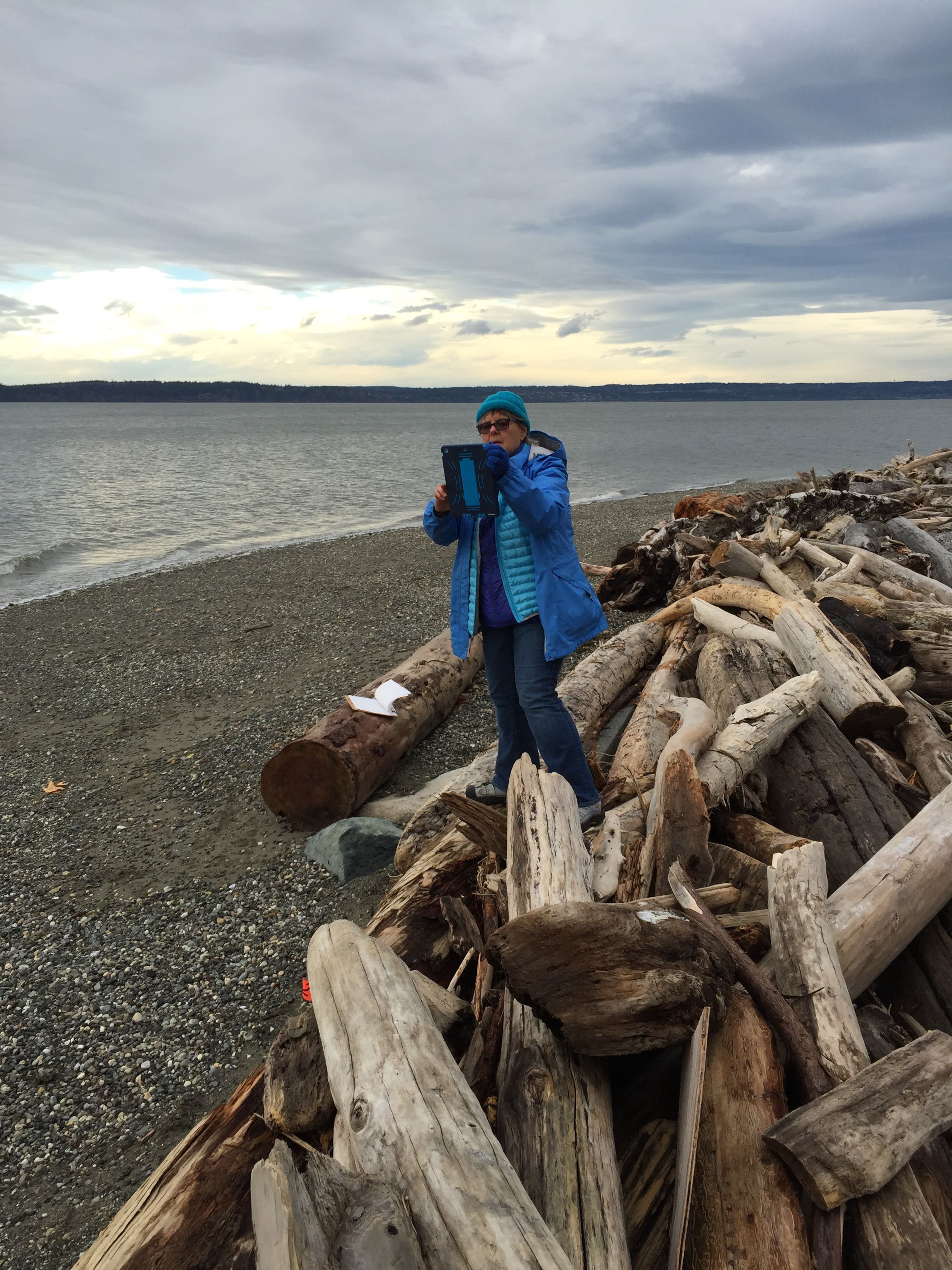
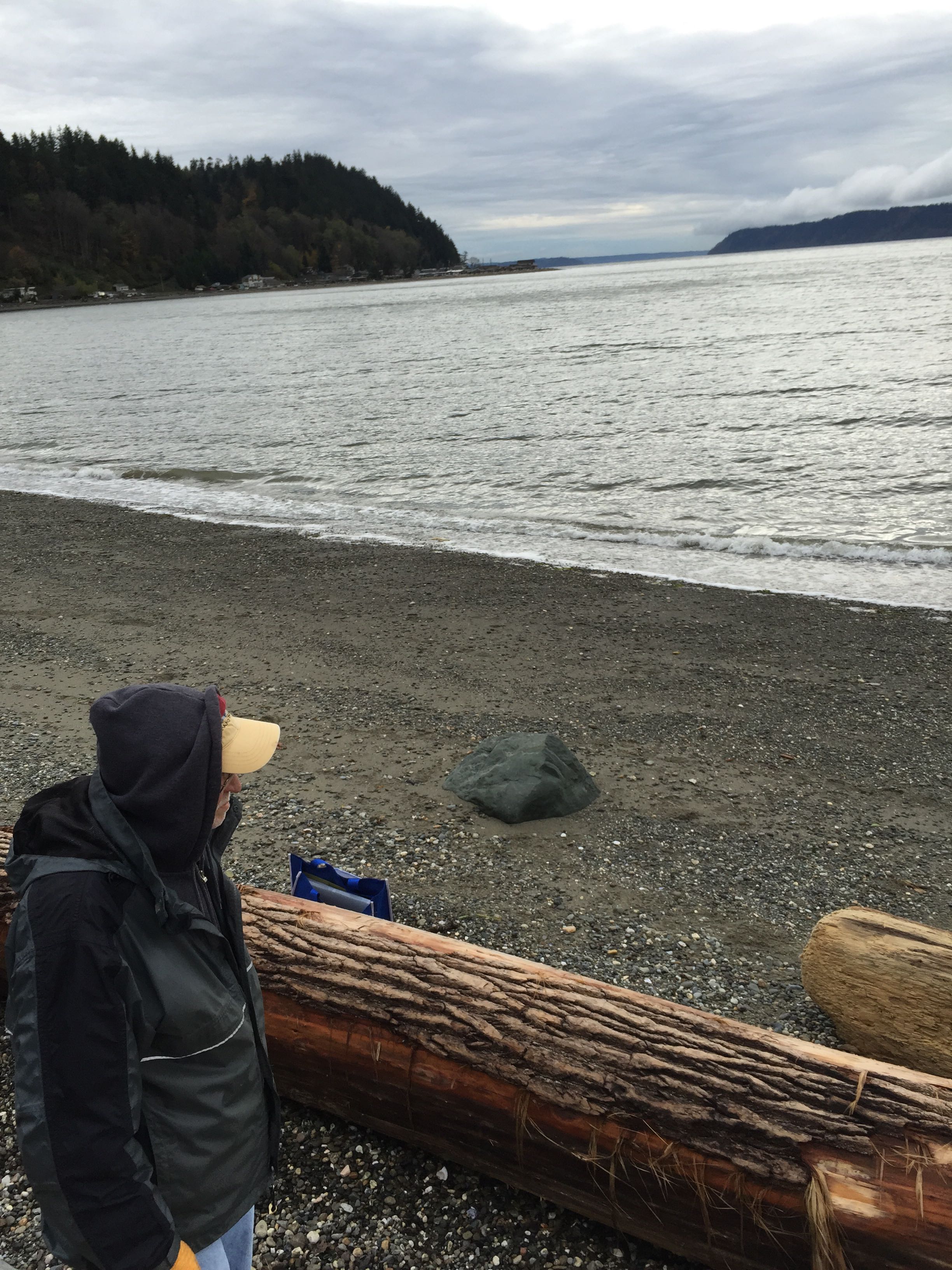

Latitude: 48.1347781839
Longitude: -122.367807739
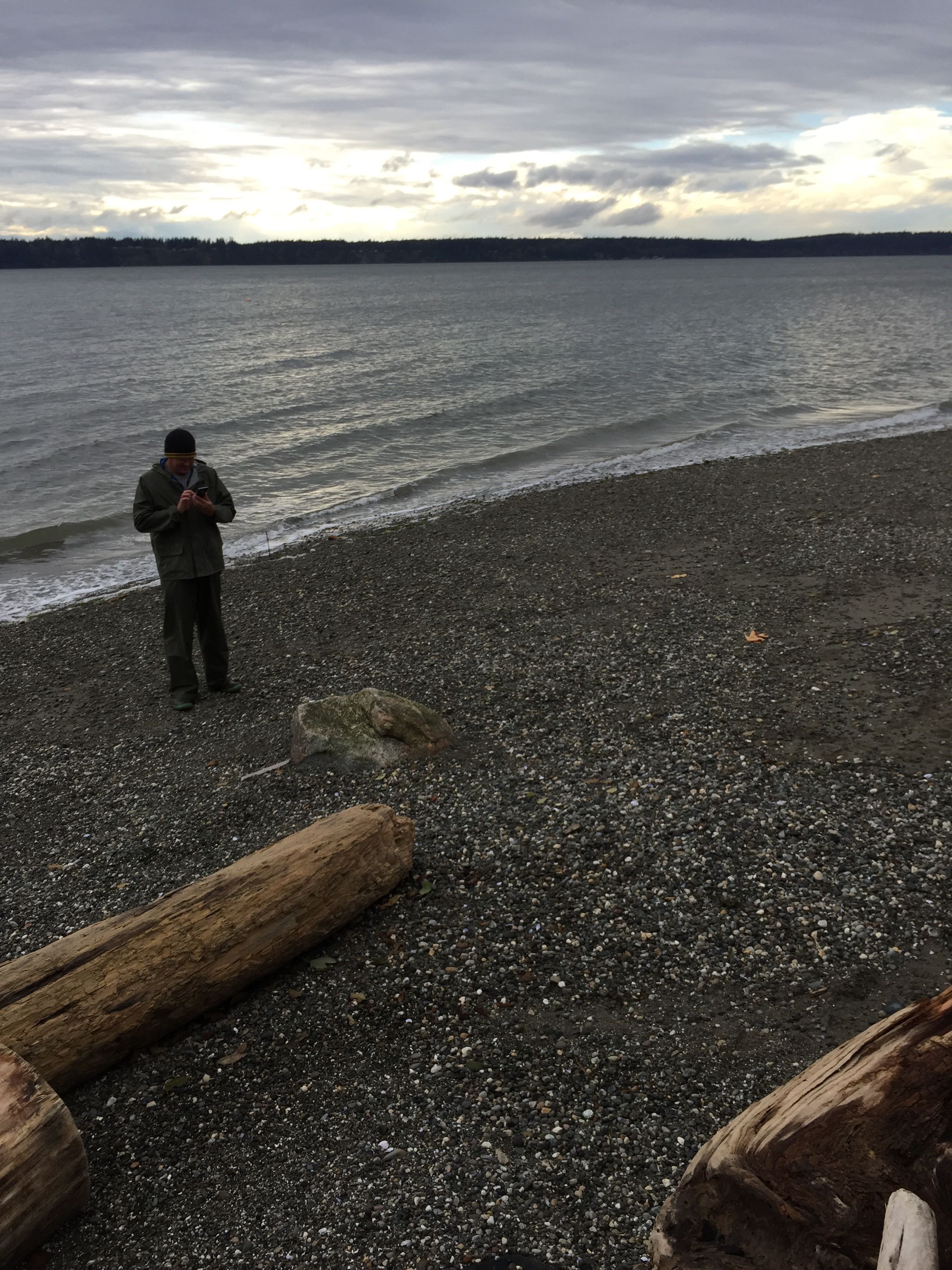
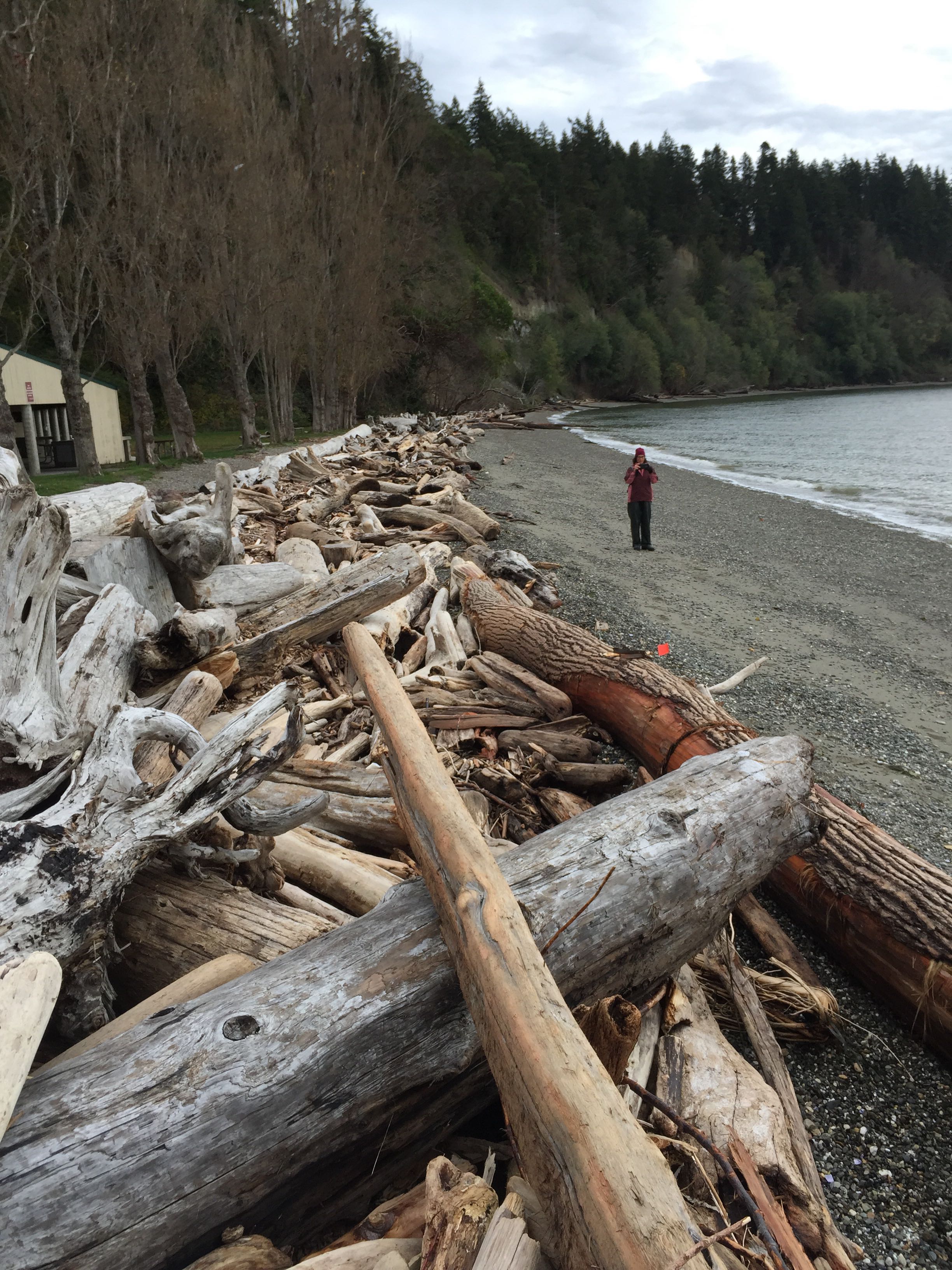
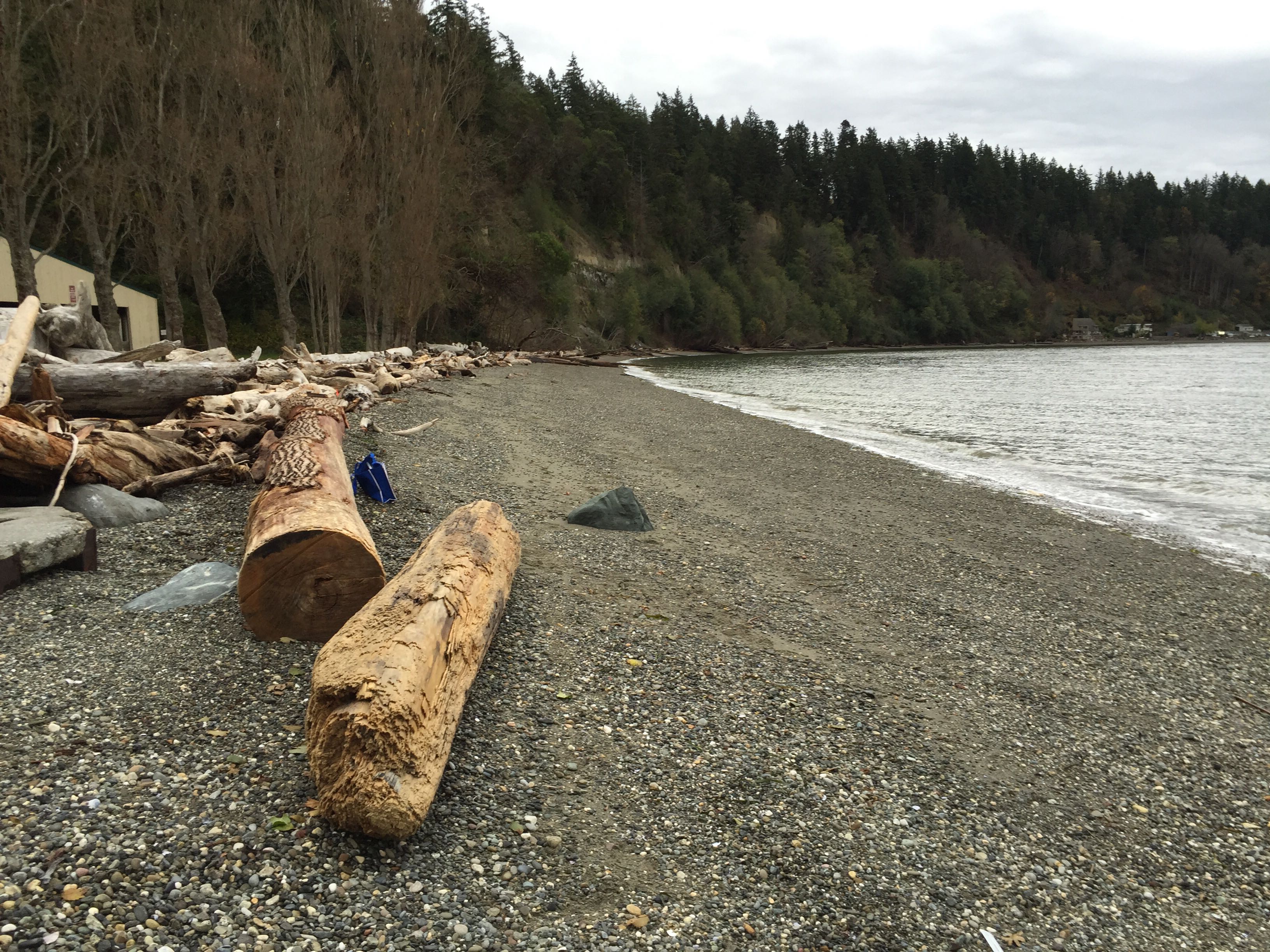
Beach Profile #1
Latitude: 48.1347491825
Longitude: -122.367860796
Taken from: East
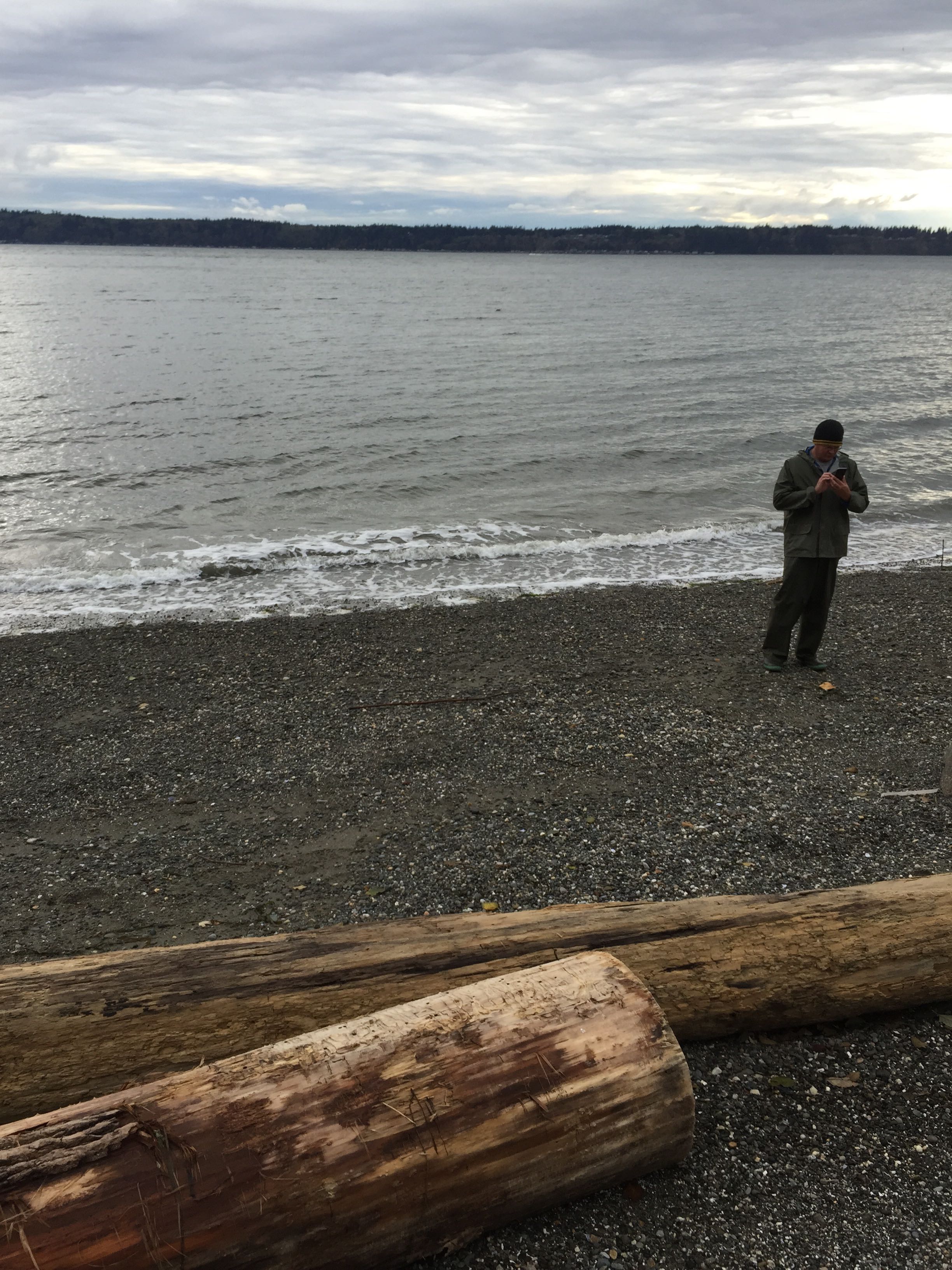
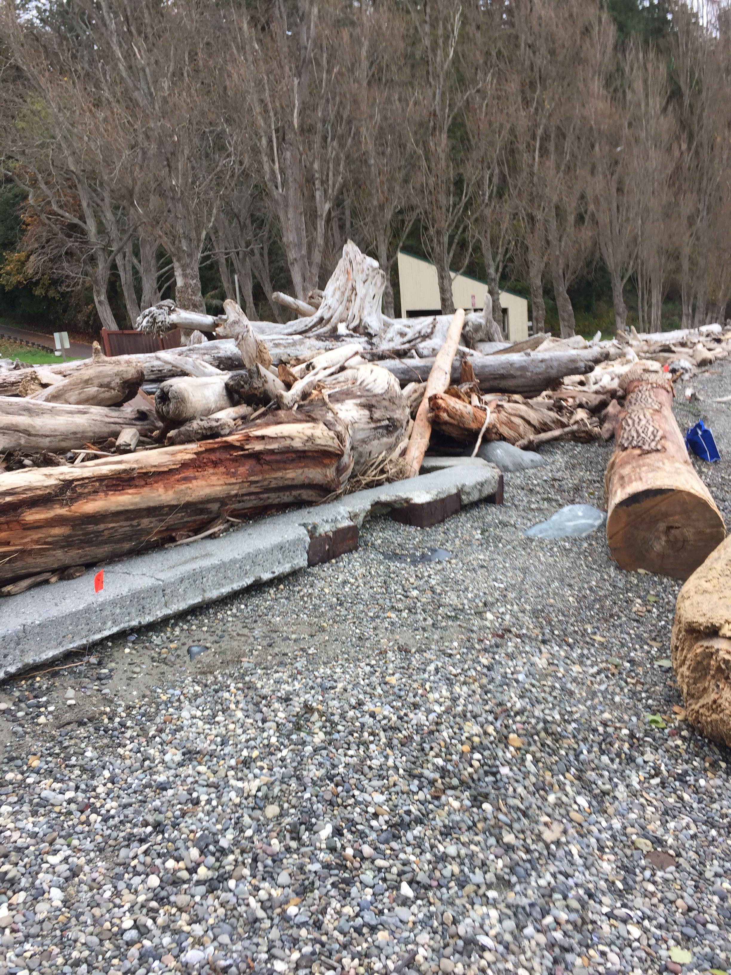
Beach Profile #2
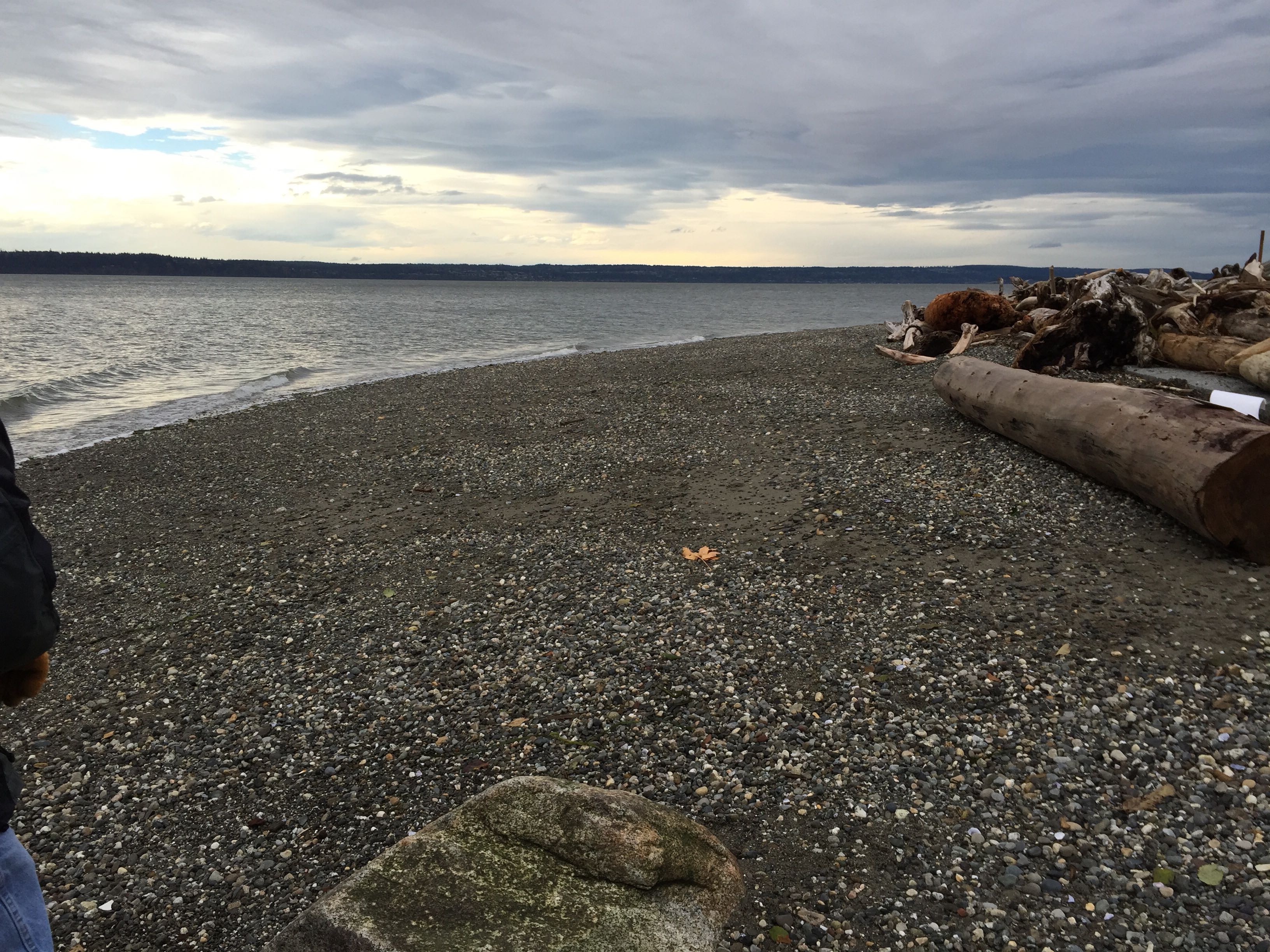
Latitude: 48.1347491825
Longitude: -122.367860796
Taken from: West
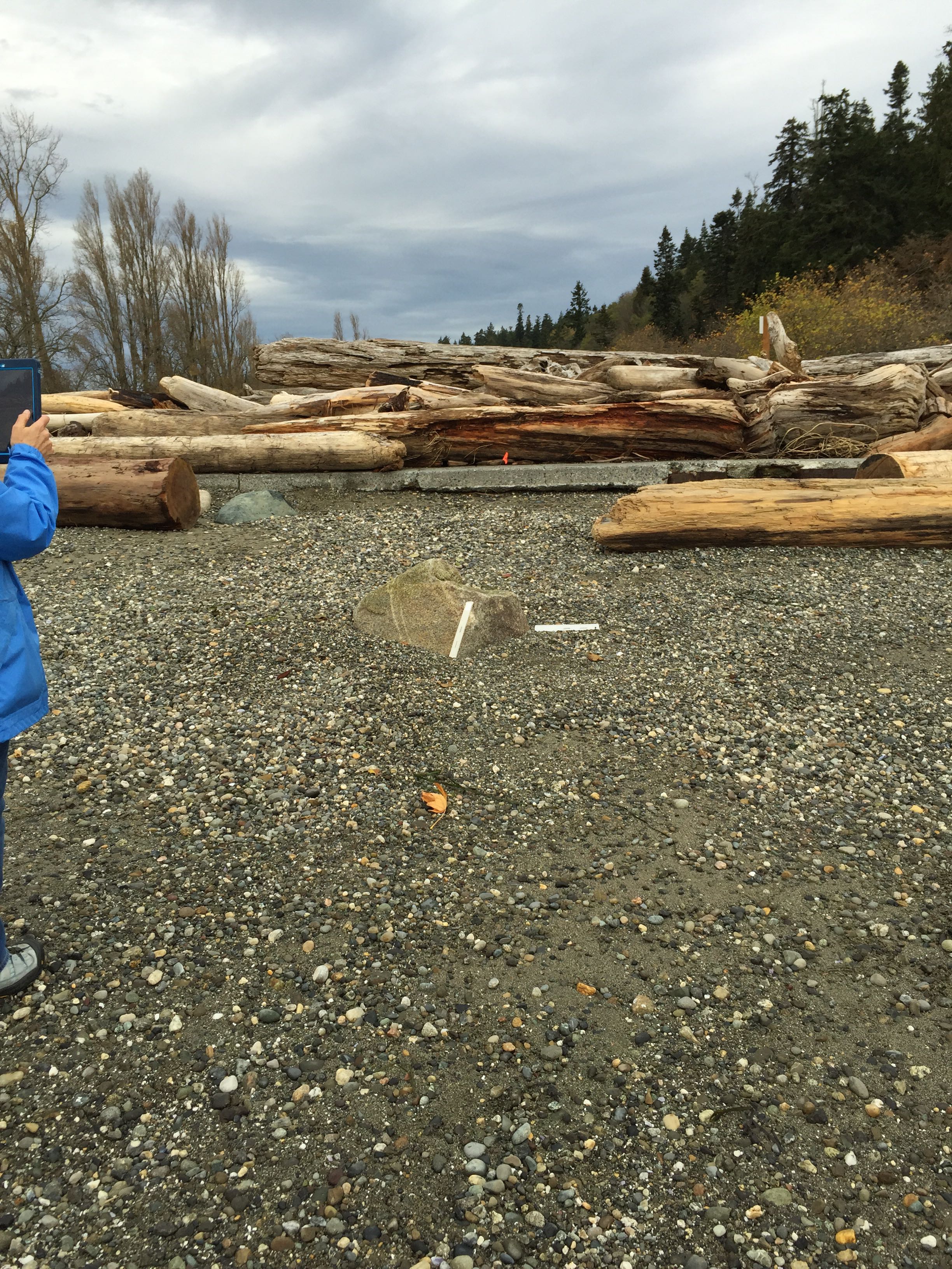
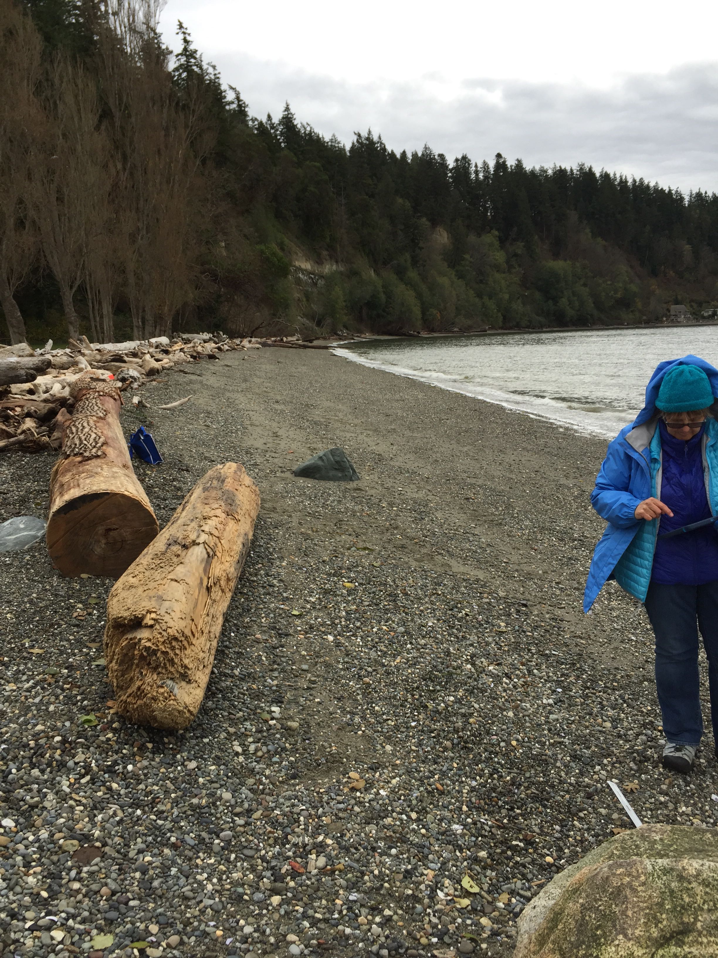
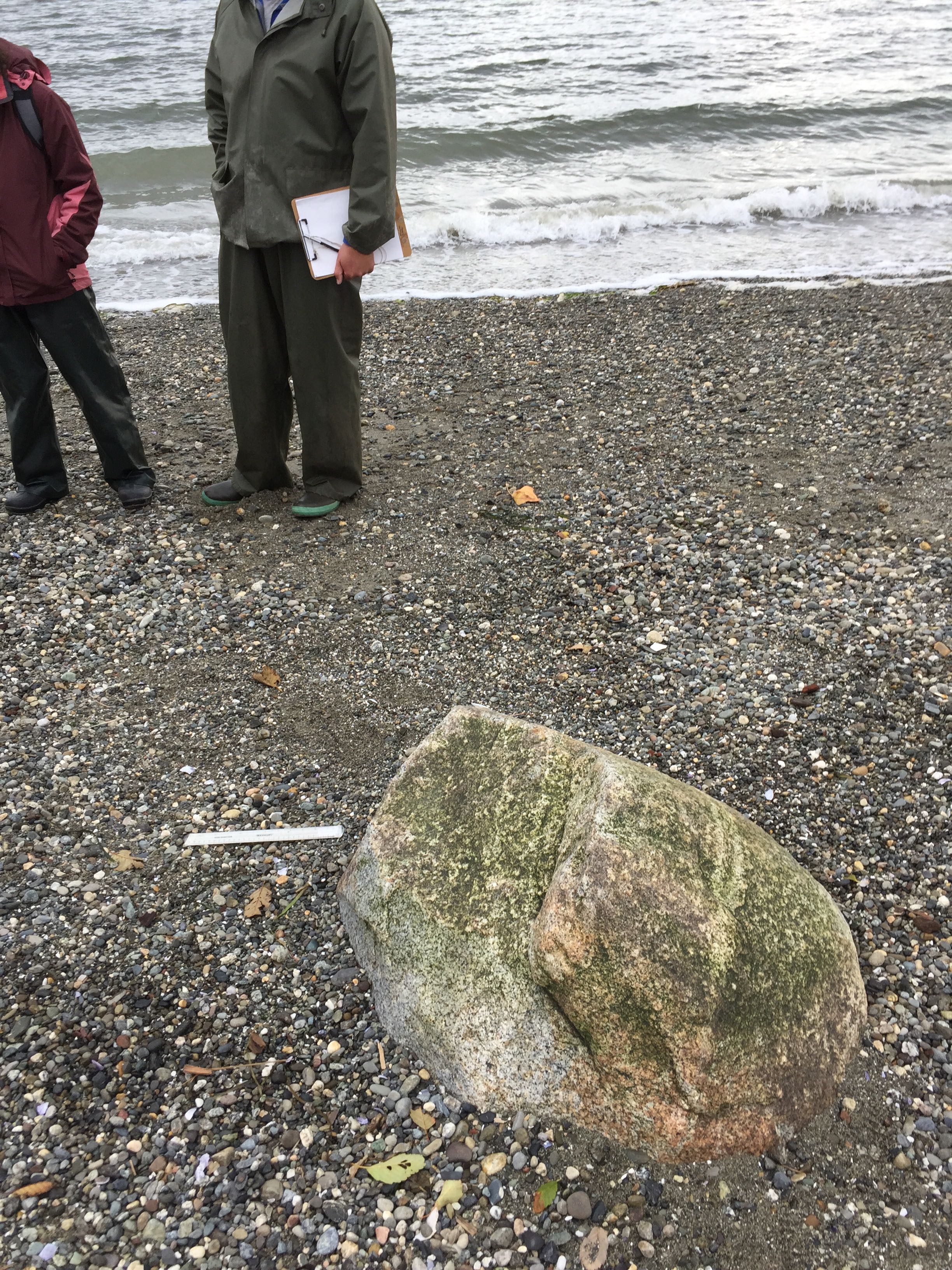
Reference Feature
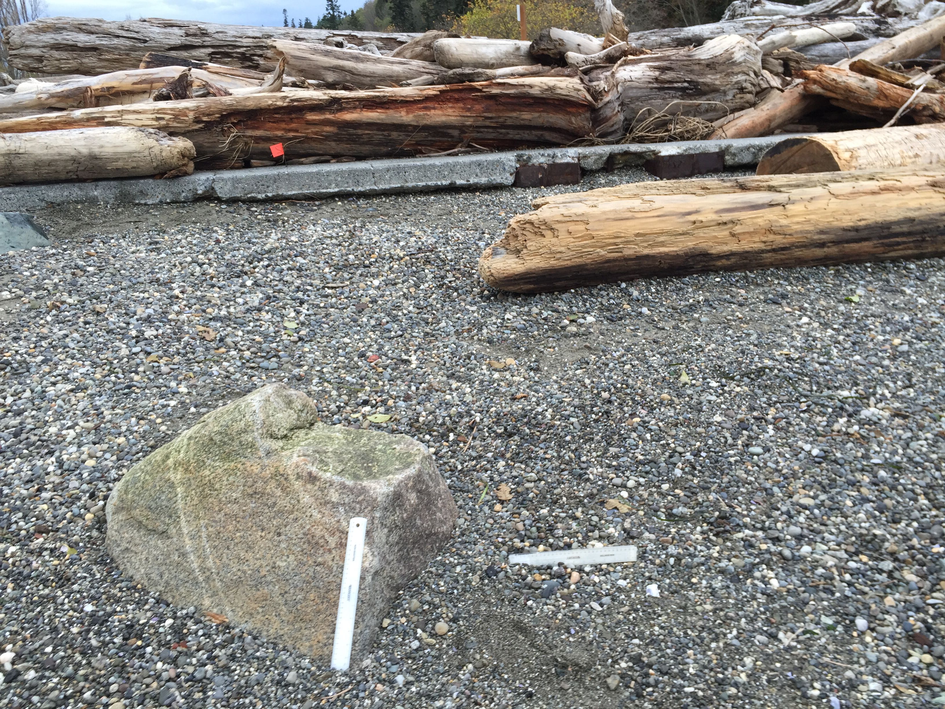

Latitude: 48.1347491825
Longitude: -122.367860796
Substrate
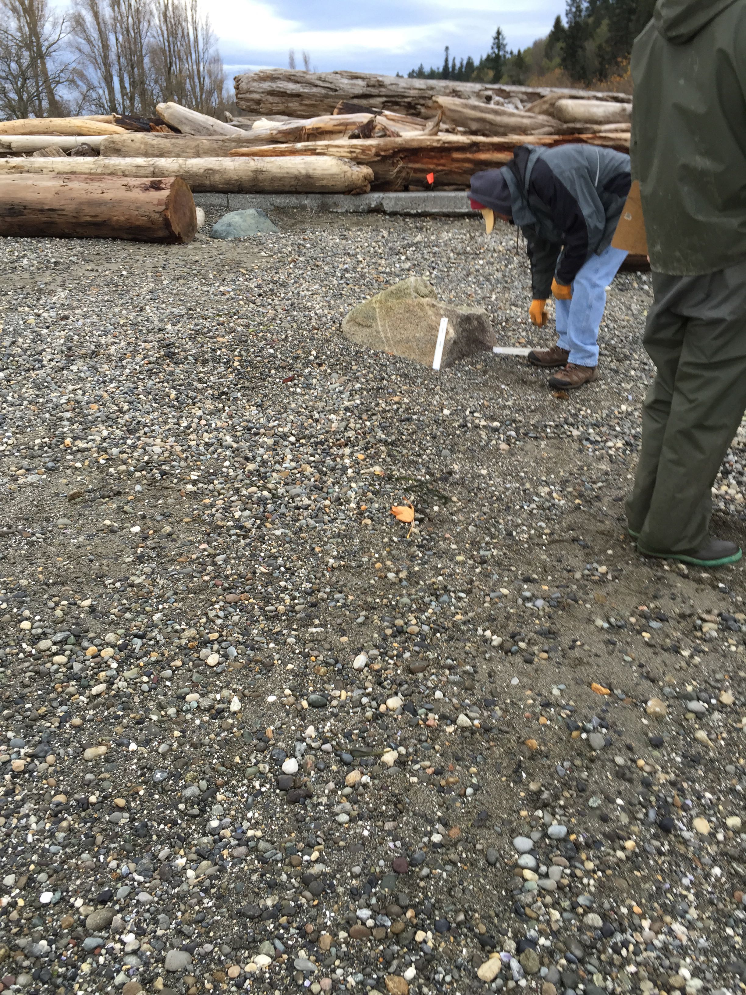
Latitude: 48.1347158226
Longitude: -122.367914943
Tidal Overview
![]() 2 hours 47 minutes before high tide
2 hours 47 minutes before high tide
Data from Port Townsend (18.8 miles away)
Water Level (at time of report): 2:49 pm, 7.4' MLLW
High Tide (Predicted): 5:40 pm, 7.5' MLLW
High Tide (Observed): 5:36 pm, 8.6' MLLW
Weather Overview
Wind Speed: 6.2 MPH
Wind Direction: ENE (62°)
Temperature: 55℉
Rainfall (Calendar Day): 0.003"
Rainfall (Past 24 Hours): 0.07"
User-observed Weather:
- Overcast
"Reference point 2 at Kayak Point near corner S of dock"