
Groton, CT

Storm Reporter Report
No Damage Reported
User Submitted Data
Flooding
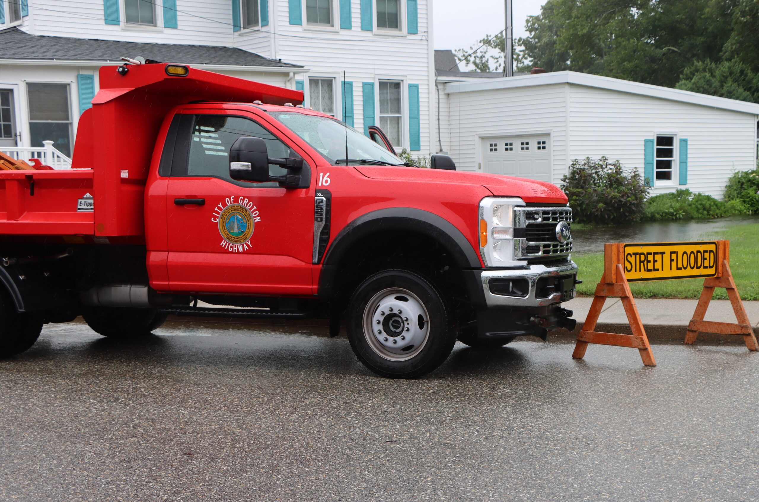
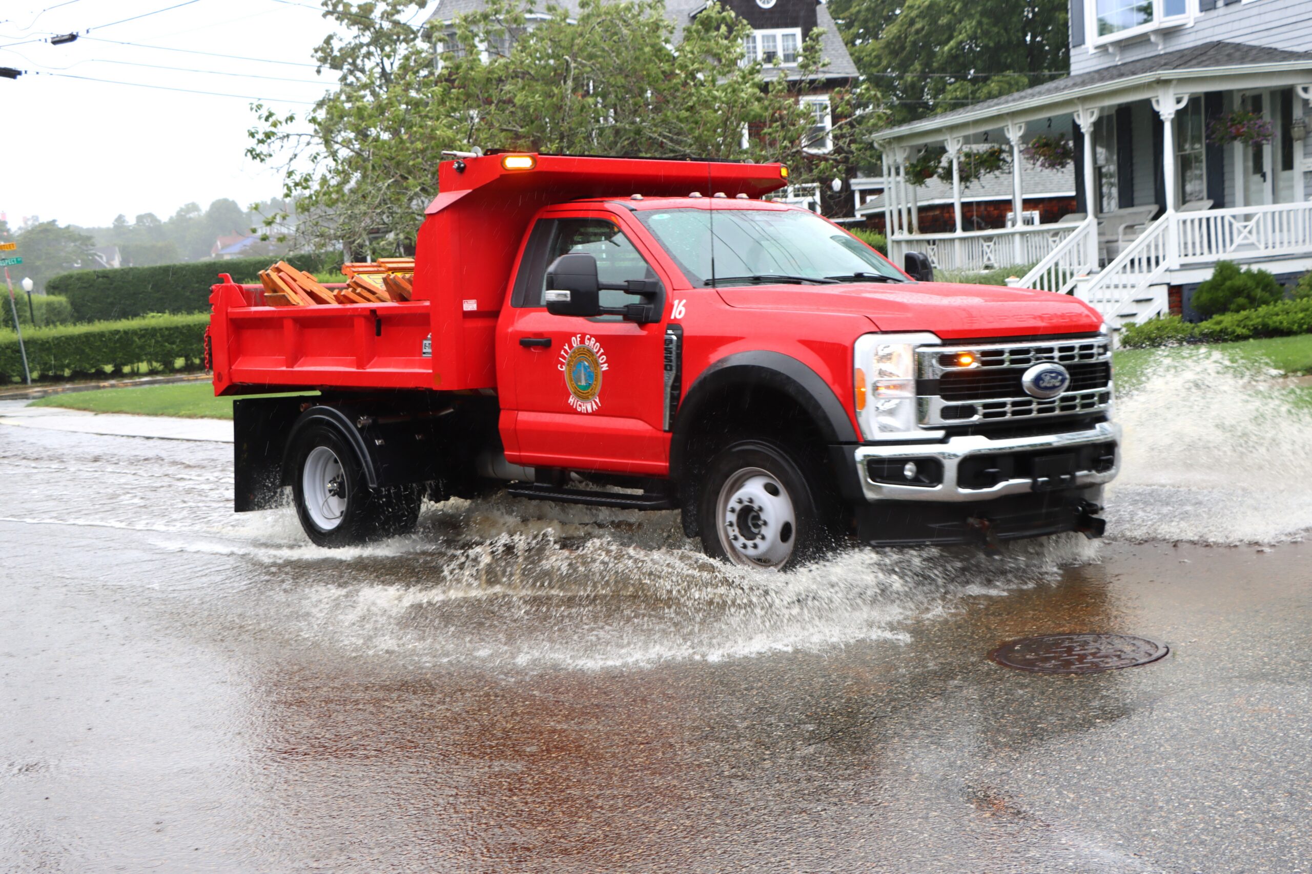
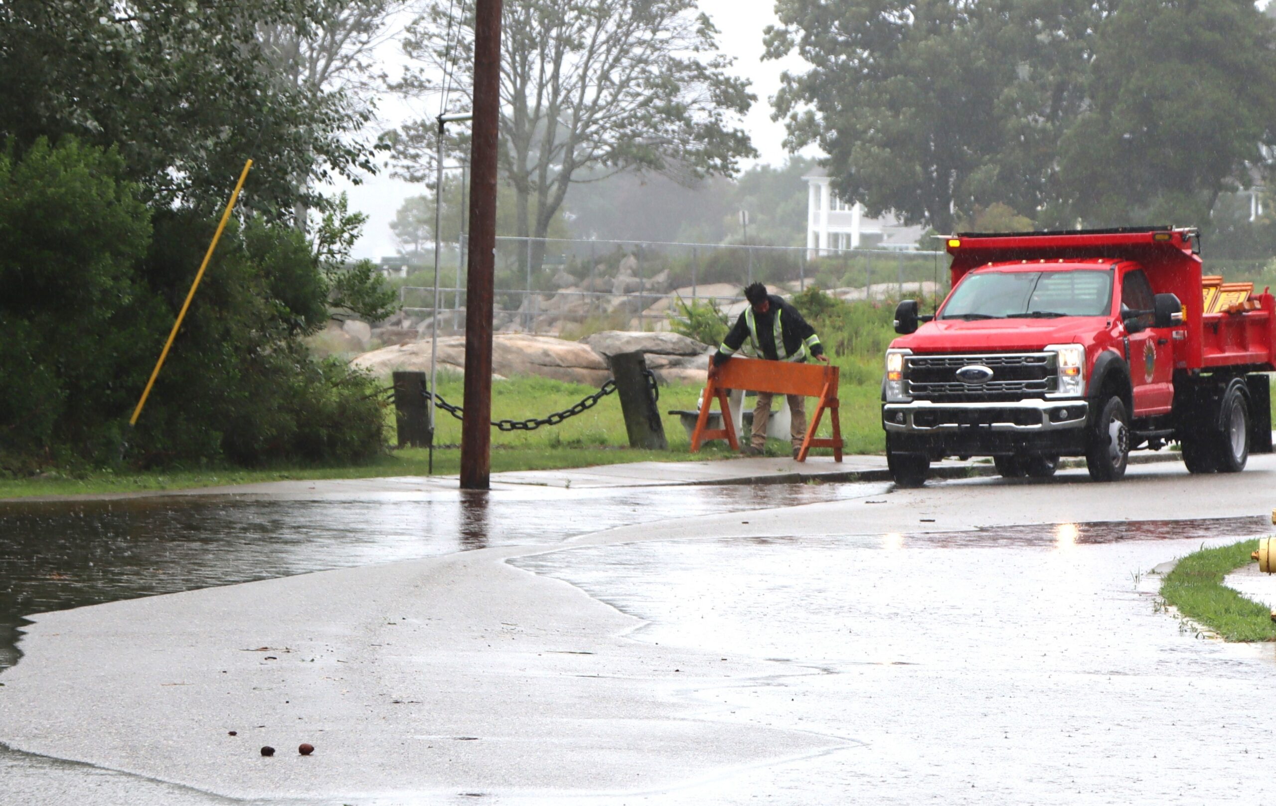
Is there flooding?: Yes
What is the cause of flooding?: Known
Cause of flooding:
- Rainfall
What is flooded?:
- Roads/street
Estimated Average Water Depth: About the height of a curb
Comments on flooding: Shore Avenue closed.
Roads
Impacts to Roads: Yes
Road passable?: No
Road impacts:
- Flooded
Comments on roads impacts: Road closed.
Structures
Impacts to structures?: No
Natural Resources
Impacts to natural resources: No
Beach/Shoreline
Impacts to beach/shoreline: No
Hazardous Materials
Hazardous materials present: No
You must be logged in to post a comment.