San Juan County
Shaw Island, WA
Creosote Report
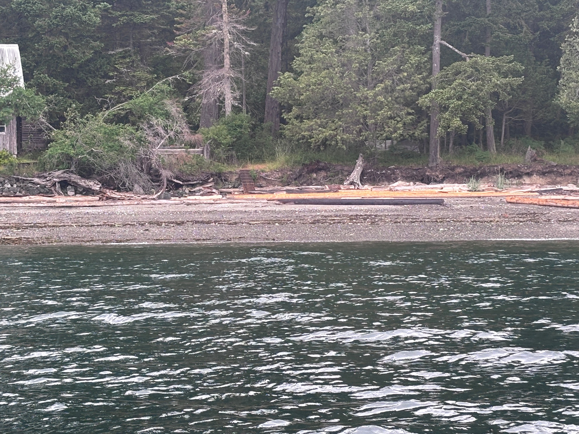
User Submitted Data
Type: Downed piling
Photo from: Shore
Piling length: >10'
Number of pilings: 1
Debris source: Unknown.
Ownership: Private - Landbank has property owner details.
Tidal Overview
![]() 2 hours 44 minutes after high tide
2 hours 44 minutes after high tide
Data from Shaw Island, Ferry Terminal, Harney Channel (1.6 miles away)
High Tide (Predicted): 10:50 am, 4.4' MLLW
Loading NOAA Tide Data…
■ Observed
■ Predicted water level
⬤ Report time
Weather Overview
Wind Speed: 6.9 MPH
Wind Direction: SE (140°)
Temperature: 64℉
Rainfall (Calendar Day): 0.012"
Rainfall (Past 24 Hours): 0.02"
You must be logged in to post a comment.
Shallow sandy beach, should allow decent access.