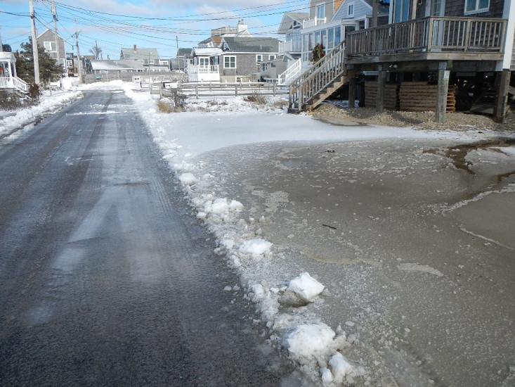
Roads
Street/Road: Unspecified
Specific Impacts:
- Splashover
- Impacted, but passable
Comments: Slashover seawall water running to street
Marinas and Harbors
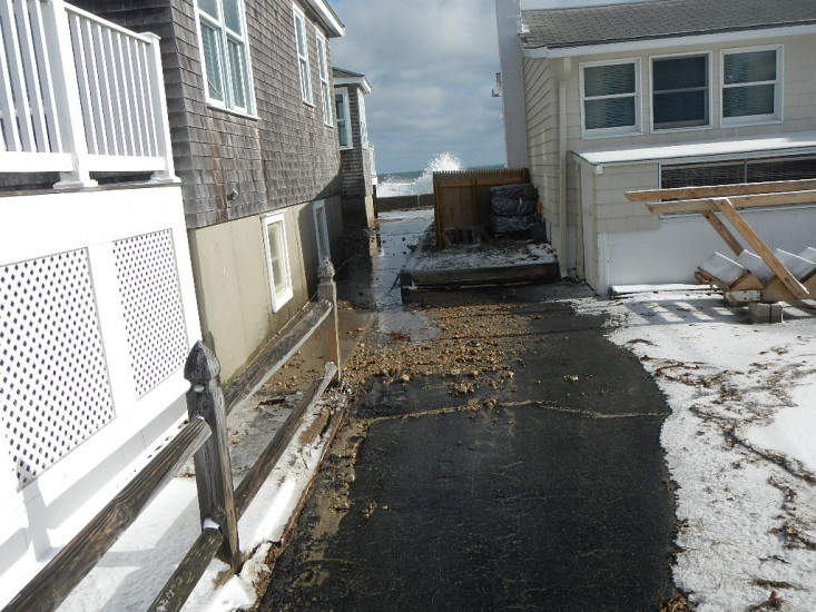
Buildings
Specific Impacts:
- Water flow around or under buildings
Comments: Comments
Hazardous Materials
Beach
State: Accessible
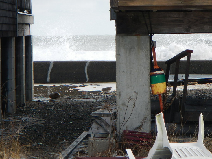
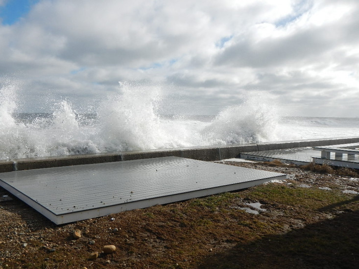
Coastal Structures
Specific Impacts:
- Splashover
Comments: Sand and Cobble over wall on to properties and street.
Natural Resources
Current Response
You must be logged in to post a comment.
"Anything else you'd like to add to this report?"