Roads
Street/Road: Unspecified
Specific Impacts:
- Splashover
- Impacted, but passable
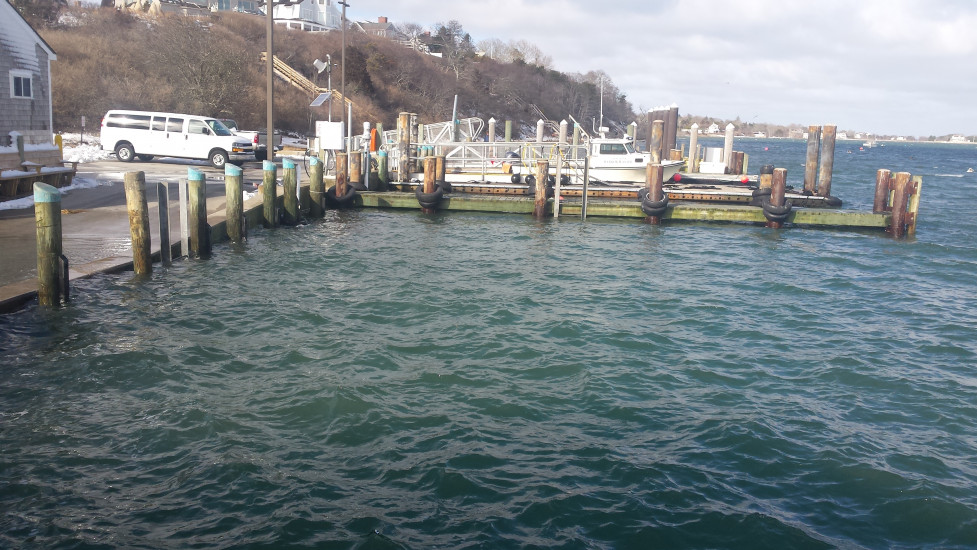
Comments: Minor flooding typical of high water levels with 2 ft high tide storm surge.
Marinas and Harbors
Buildings
Hazardous Materials
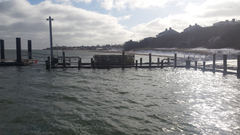
Beach
State: Accessible
Coastal Structures
Natural Resources
Specific Impacts:
- Eroded beach
- Eroded dune
- Eroded bank/bluff
Comments: Minor erosion.
Current Response
Response:
- None
You must be logged in to post a comment.