Tompkins County, NY
Trumansburg

Flood Watch Report
User Submitted Data
Cause of Flooding:
- Rainfall (Water pooling from direct rainfall)
What is Flooded:
- Structures
You must be logged in to post a comment.

Cause of Flooding:
What is Flooded:
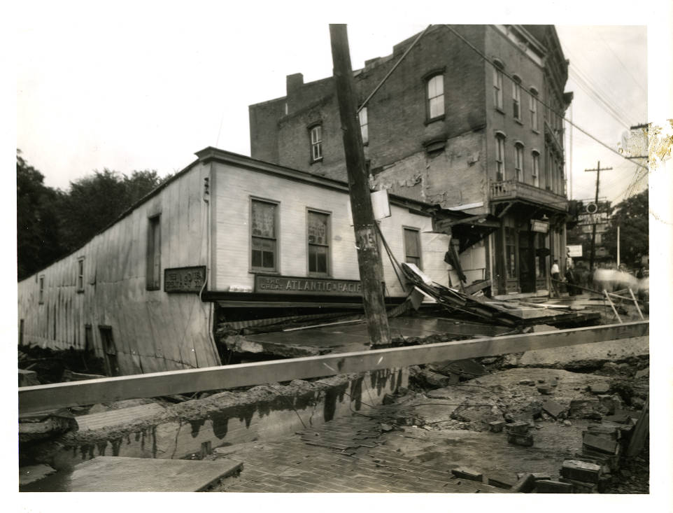
Photo Source: Tompkins County Flood Photographs Collection (History Center of Tompkins County) in the New York Heritage Digital Collections (https://nyheritage.org/collections/tompkins-county-flood-photographs). Photo Title: “A+P Grocery Store on Main St in Trumansburg.” Photo Description: “A&P Grocery store, the front and side signs reading ‘The Great Atlantic + Pacific Tea Co. (the full name of the 1985-2015 chain of grocery stores)’ built over the Trumansburg Creek, heavily damaged and sagging. Main St. in front of it is damaged, with broken concrete in piles. The 3 story brick building at 4 W. Main st (the Creekside Cafe in 2022) is visible past the A+P, with more buildings behind it.” Photo Date and Time: The year is based on the photo details from historic records. Actual date and time is unknown. The month and day (7th of July) is based on research found from: https://pubs.usgs.gov/wsp/0773e/report.pdf. Photo Location: Approximate location placed on Main St in Trumansburg based on photo title. Cause of flooding: Assumed from photo and research from https://pubs.usgs.gov/wsp/0773e/report.pdf. What is flooded: Based on what is shown in the photo.