Westchester County, NY
Mamaroneck
Storm Reporter Report
Damage Reported
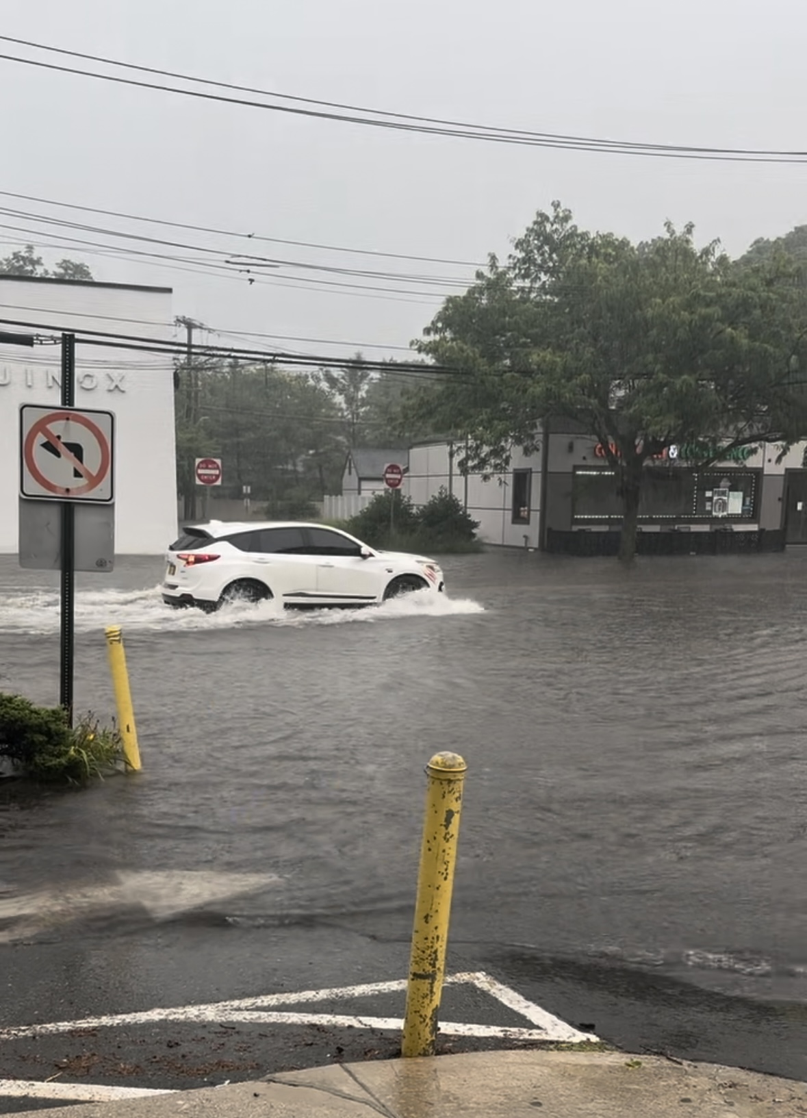
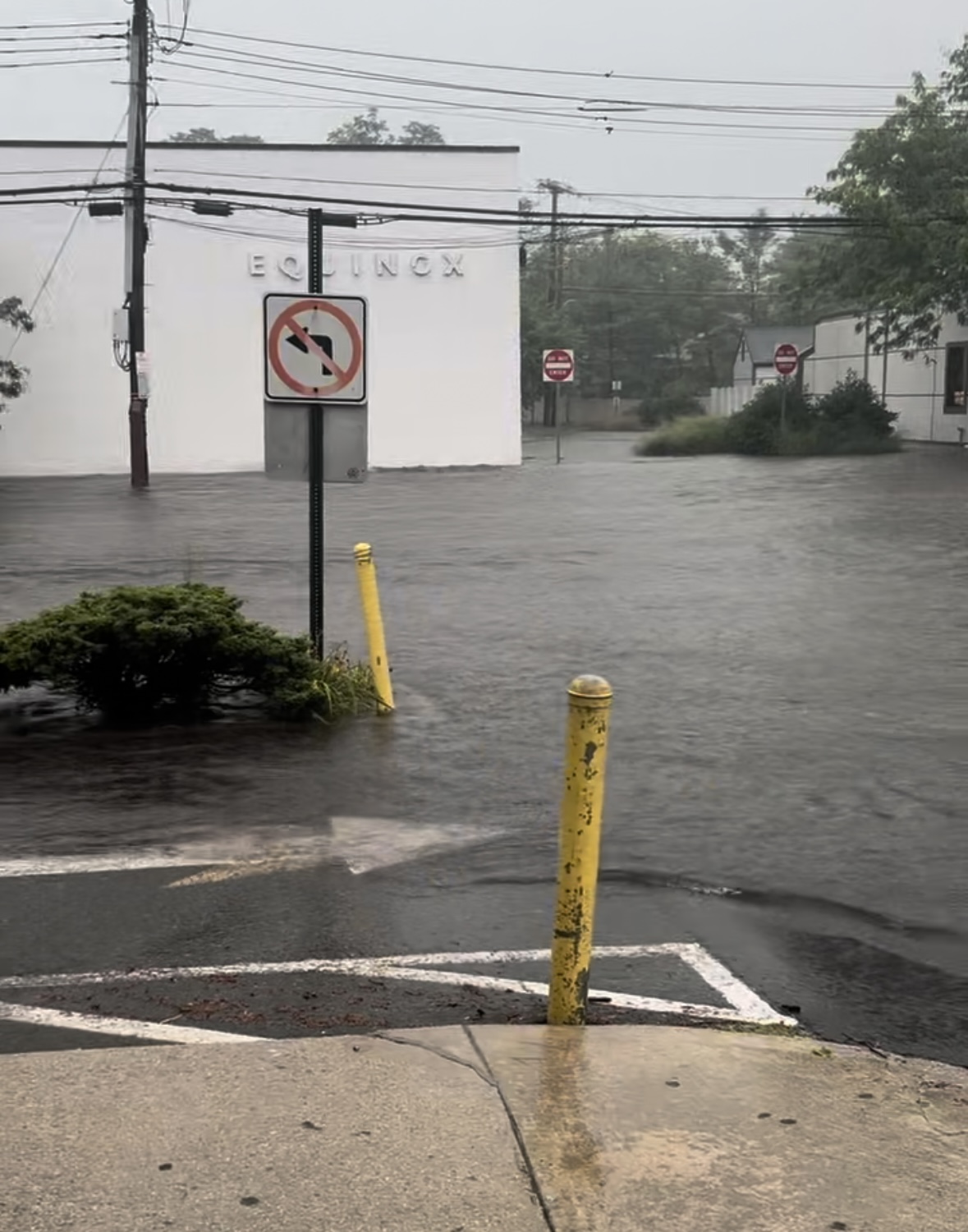
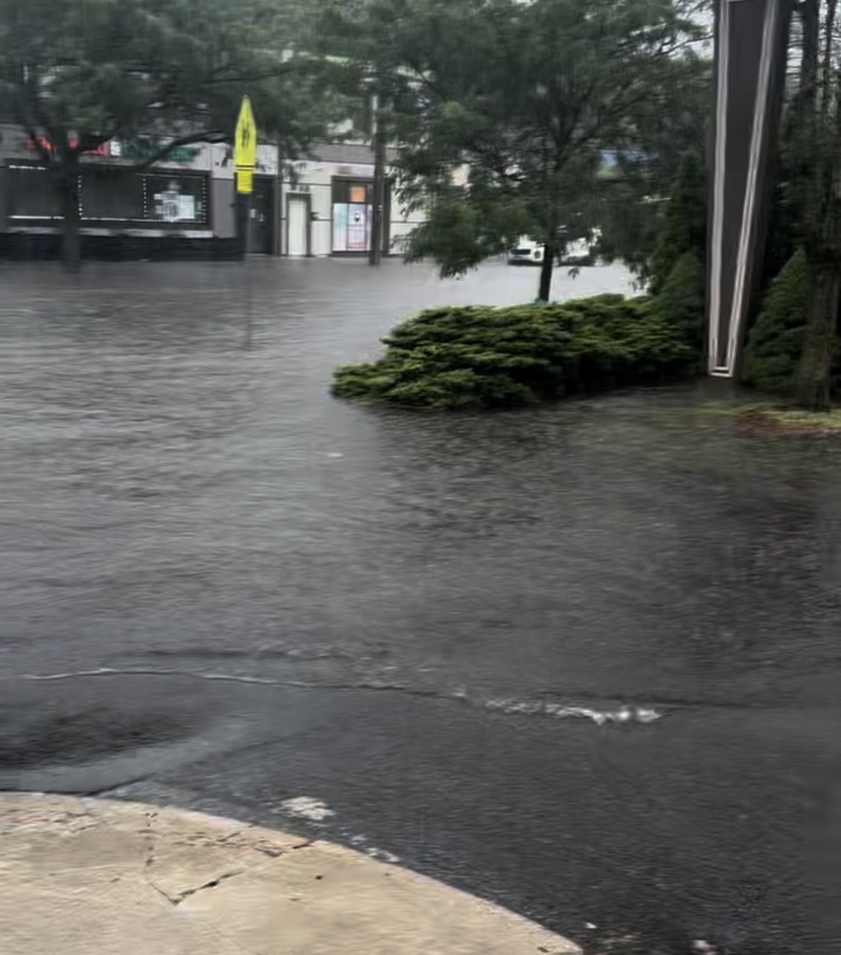
User Submitted Data
Roads
Specific Damage:
- Impacted, but passable
Marinas and Harbors
Buildings
Hazardous Materials
Beach
Coastal Structures
Current Response
Tidal Overview
![]() 3 hours 50 minutes after high tide
3 hours 50 minutes after high tide
Data from Kings Point (9.4 miles away)
Water Level (at time of report): 5:30 pm, 3.3' MLLW
High Tide (Predicted): 1:46 pm, 7.7' MLLW
High Tide (Observed): 1:54 pm, 8.3' MLLW
Loading NOAA Tide Data…
■ Observed
■ Predicted water level
⬤ Report time
Weather Overview
Wind Speed: 7.8 MPH
Wind Direction: WNW (294°)
Temperature: 75℉
Rainfall (Calendar Day): 0.092"
Rainfall (Past 24 Hours): 0"
You must be logged in to post a comment.