Queens County, NY
Broad Channel
Flood Watch Report
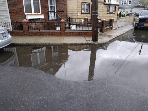
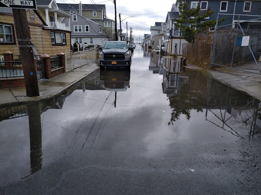
User Submitted Data
Cause of Flooding:
- Unsure
What is Flooded:
- Roads/streets
- Sidewalks
Tidal Overview
![]() 0 hours 53 minutes after high tide
0 hours 53 minutes after high tide
Data from North Channel Bridge, Grassy Bay (2.8 miles away)
High Tide (Predicted): 9:59 am, 6.6' MLLW
Loading NOAA Tide Data…
■ Observed
■ Predicted water level
⬤ Report time
Weather Overview
Wind Speed: 17.3 MPH
Wind Direction: NNW (345°)
Temperature: 42℉
Rainfall (Calendar Day): 0.018"
Rainfall (Past 24 Hours): 1.15"
You must be logged in to post a comment.
Time now is 10:52 a.m. water line is approximately 14 feet from 120 survey marker