Grays Harbor County
Ocean Shores, WA
Creosote Report
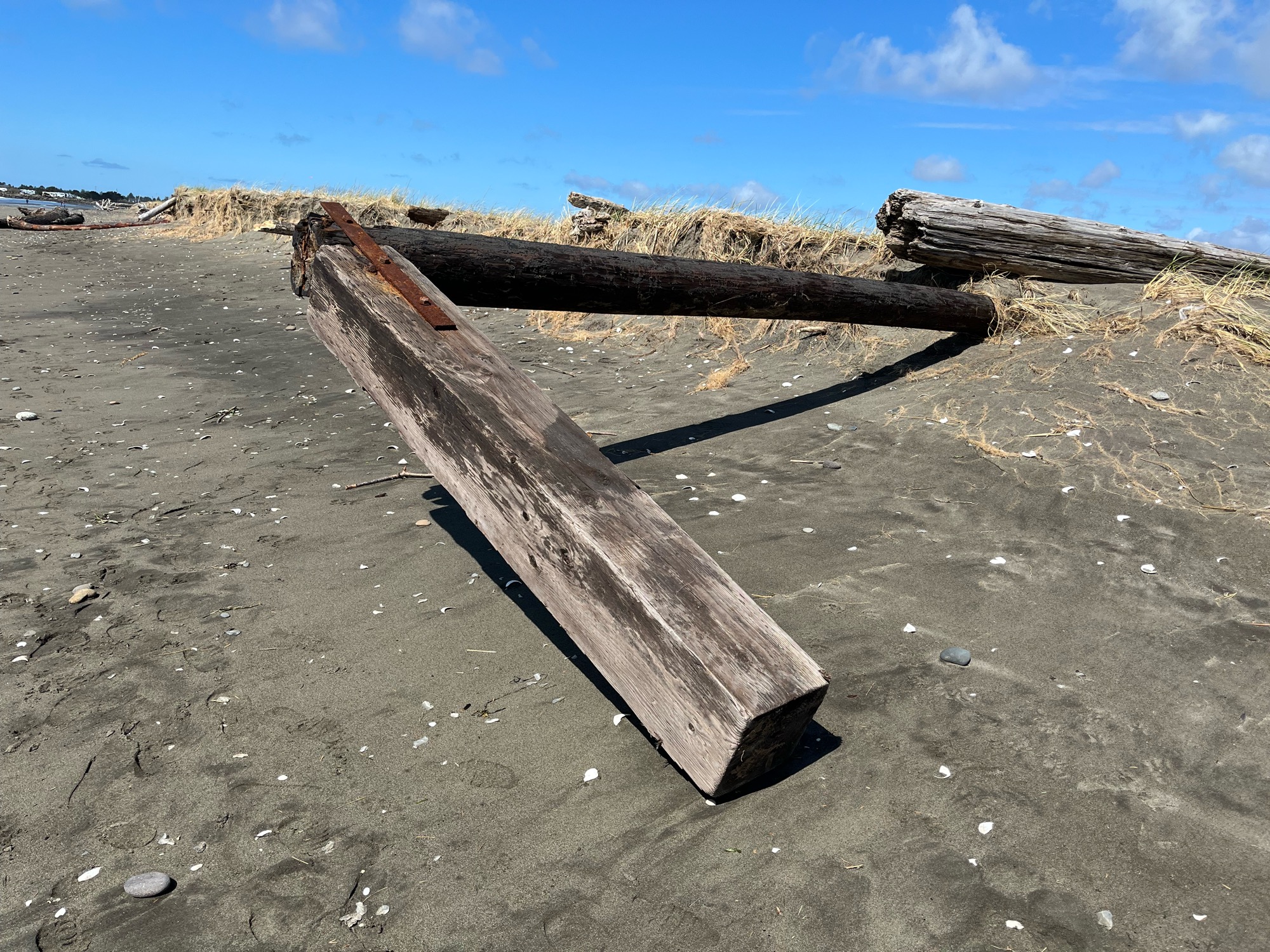
User Submitted Data
Type: Downed piling
Photo from: Shore
Piling length: 5-10'
Number of pilings: 1
Debris source: Unspecified
Ownership: SOAL - Damon point
Tidal Overview
![]() 2 hours 28 minutes after high tide
2 hours 28 minutes after high tide
Data from Westport, Point Chehalis (2.7 miles away)
Water Level (at time of report): 1:09 pm, 5.6' MLLW
High Tide (Predicted): 10:35 am, 8.7' MLLW
High Tide (Observed): 10:36 am, 8.6' MLLW
Loading NOAA Tide Data…
■ Observed
■ Predicted water level
⬤ Report time
Weather Overview
Wind Speed: 9.4 MPH
Wind Direction: WSW (241°)
Temperature: 52℉
Rainfall (Calendar Day): 0"
Rainfall (Past 24 Hours): 0.15"
You must be logged in to post a comment.