Suffolk County
Winthrop, MA
(Nahant Ave)
Storm Report
Impacts Reported
User Submitted Data
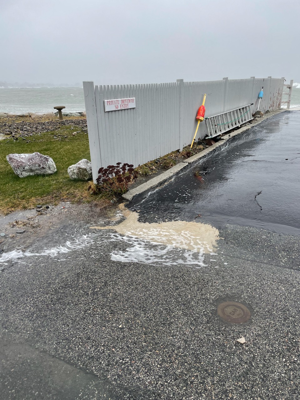
Roads
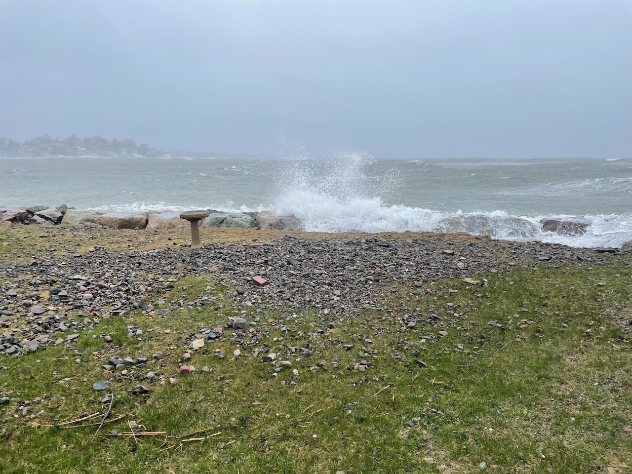
Street/Road: Nahant Ave
Specific Impacts:
- Splashover
Marinas and Harbors
Buildings
Hazardous Materials
Beach
Coastal Structures
Foot/Cycling Paths
Natural Resources
Current Response
Tidal Overview
![]() 1 hours 22 minutes after high tide
1 hours 22 minutes after high tide
Data from BOSTON (4.8 miles away)
Water Level (at time of report): 9:14 am, 12.4' MLLW
High Tide (Predicted): 7:40 am, 9.8' MLLW
High Tide (Observed): 8:24 am, 13.3' MLLW
Loading NOAA Tide Data…
■ Observed
■ Predicted water level
⬤ Report time
Weather Overview
Wind Speed: 31.4 MPH
Wind Direction: NE (52°)
Temperature: 36℉
Rainfall (Calendar Day): 0.085"
Rainfall (Past 24 Hours): 1.19"
You must be logged in to post a comment.