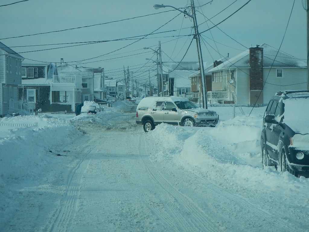
Marshfield, MA

Plymouth County

Impacts Reported


Roads

Street/Road: Unspecified

Specific Impacts:

  • Impassable (overwash)

Comments: Foster Avenue between 4th & 6th Roads slush in roadway from overwash

Marinas and Harbors
Buildings
Hazardous Materials
Beach

State: Accessible

Coastal Structures

Specific Impacts:

  • Splashover

Comments: Seawall off Foster near 5th Road

Natural Resources
Current Response

02/15/2015 | 2:22 pm

Tidal Overview

5 hours 56 minutes before high tide

Data from Brant Rock, Green Harbor River (1.5 miles away)

High Tide (Predicted): 8:18 pm, 8.4'

Observed Predicted water level Report time

Weather Overview

Wind Speed: 23 MPH

Wind Direction: NW (310°)

Temperature: 19℉

Rainfall (Calendar Day): 0"

Rainfall (Past 24 Hours): 0.04"

(Click here for full weather details)


You must be logged in to post a comment.