DSCN4155
DSCN4156
"Shepard Ave off Foster Ave"
Street/Road: Unspecified
Specific Impacts:
Specific road: Snow
6 hours 0 minutes before high tide
Data from Brant Rock, Green Harbor River (1.2 miles away)
High Tide (Predicted): 8:18 pm, 8.4'
(Click here for full tide details from NOAA Tides & Currents)
Wind Speed: 22.9 MPH
Wind Direction: NW (310°)
Temperature: 19℉
Rainfall (Calendar Day): 0"
Rainfall (Past 24 Hours): 0.04"
(Click here for full weather details)
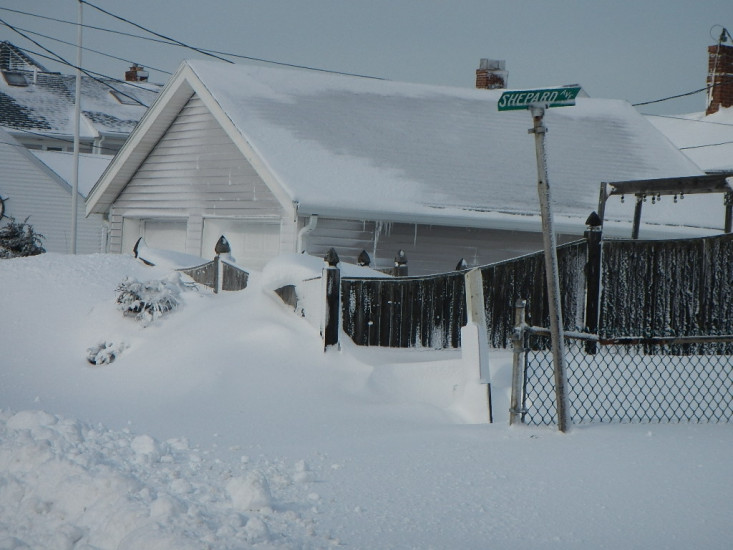
"Shepard Ave off Foster Ave"