Plymouth County
Marshfield, MA
Storm Report
Impacts Reported
User Submitted Data
Roads
Street/Road: Unspecified
Marinas and Harbors
Buildings
Hazardous Materials
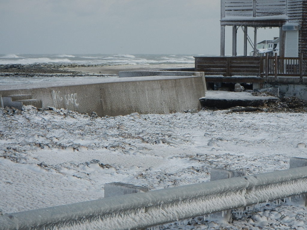
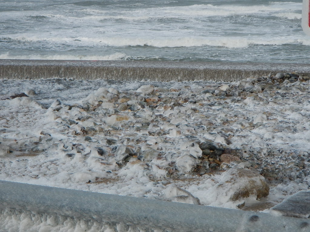
Beach
Coastal Structures
Specific Impacts:
- Splashover
Foot/Cycling Paths
Natural Resources
Specific Impacts:
- Overwashed beach/dune
Comments: Cobble wash over seawall.
Current Response
Tidal Overview
![]() 6 hours 7 minutes before high tide
6 hours 7 minutes before high tide
Data from Brant Rock, Green Harbor River (0.7 miles away)
High Tide (Predicted): 8:18 pm, 8.4' MLLW
Loading NOAA Tide Data…
■ Observed
■ Predicted water level
⬤ Report time
Weather Overview
Wind Speed: 22.9 MPH
Wind Direction: NW (311°)
Temperature: 19℉
Rainfall (Calendar Day): 0"
Rainfall (Past 24 Hours): 0.05"
You must be logged in to post a comment.
Ocean Street, near Hancock Street