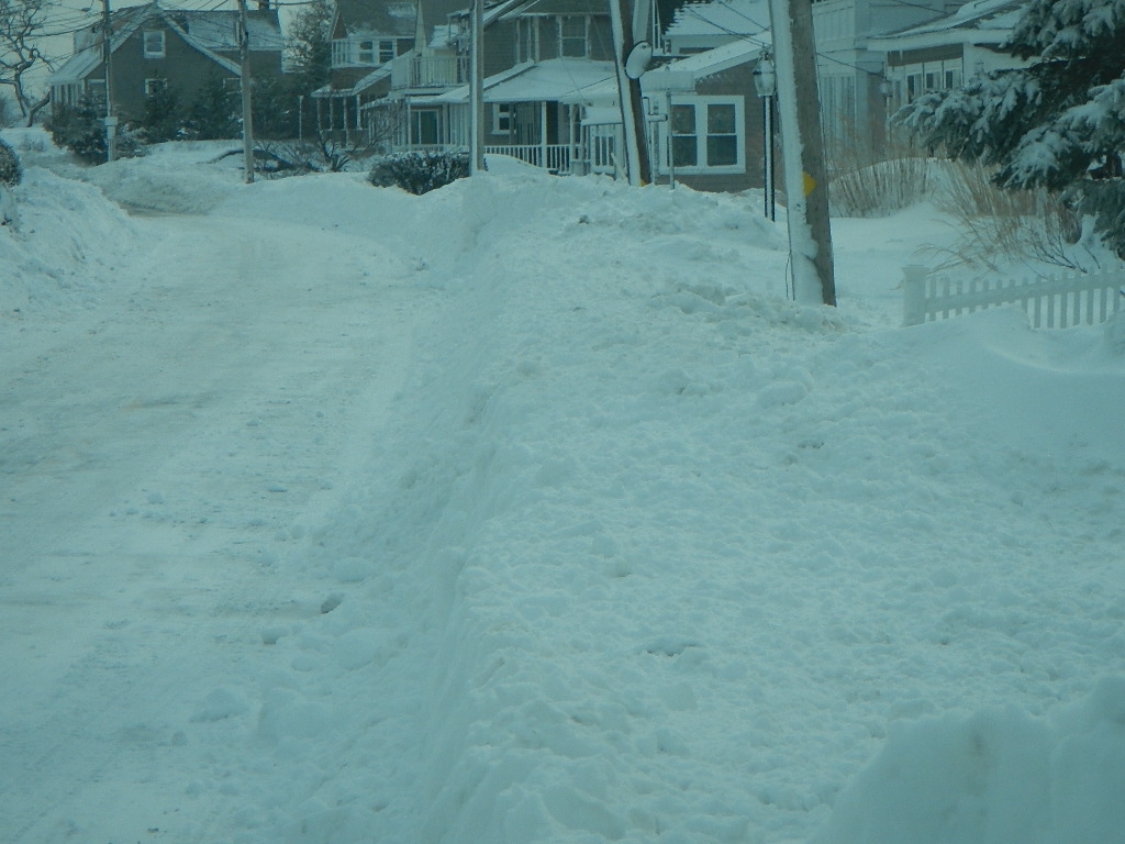
Marshfield, MA

Plymouth County

Impacts Reported


Roads

Street/Road: Unspecified

Specific Impacts:

  • Impacted, but passable

Comments: Snow covered roadways, narrowed by snow banks.

Marinas and Harbors
Buildings
Hazardous Materials
Beach

State: Accessible

Coastal Structures
Natural Resources
Current Response

02/15/2015 | 1:55 pm

Tidal Overview

6 hours 14 minutes after high tide

Data from Brant Rock, Green Harbor River (0.4 miles away)

High Tide (Predicted): 7:41 am, 9.5'

Observed Predicted water level Report time

Weather Overview

Wind Speed: 22.7 MPH

Wind Direction: NW (311°)

Temperature: 19℉

Rainfall (Calendar Day): 0"

Rainfall (Past 24 Hours): 0.06"

(Click here for full weather details)


You must be logged in to post a comment.