Barnstable County
Sandwich, MA
Storm Report
Impacts Reported
User Submitted Data
Roads
Street/Road: Unspecified
Marinas and Harbors
Buildings
Hazardous Materials
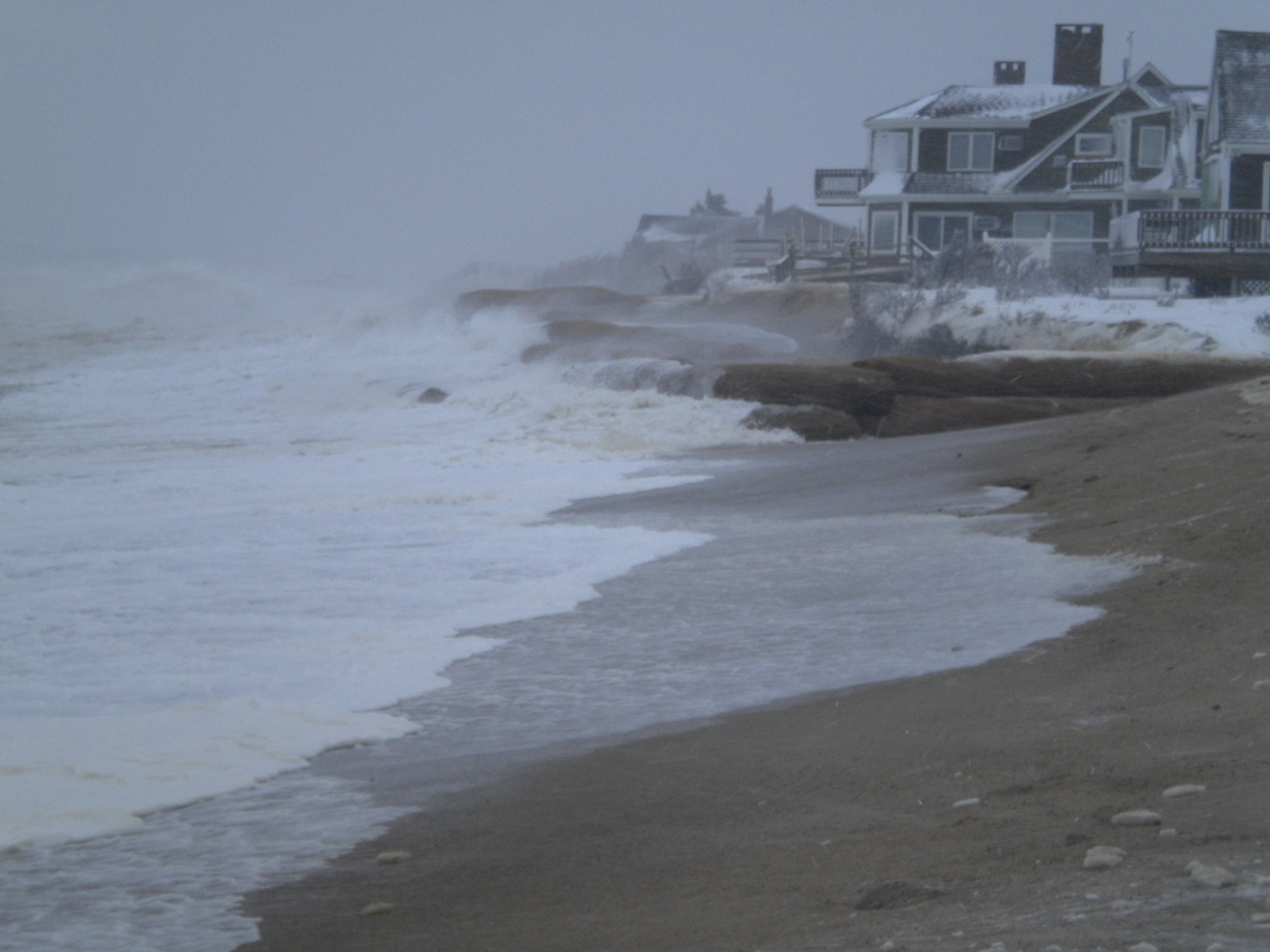
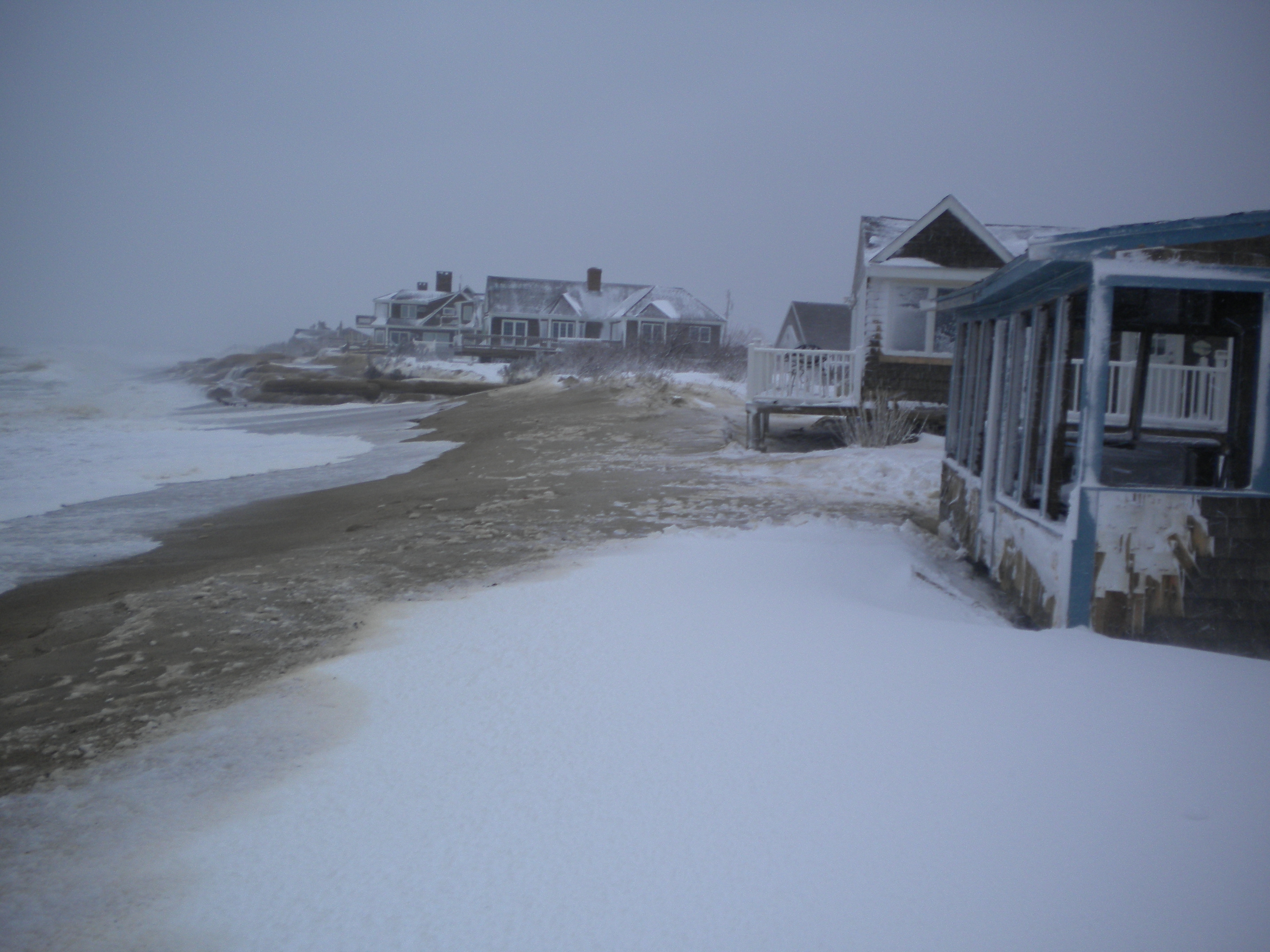
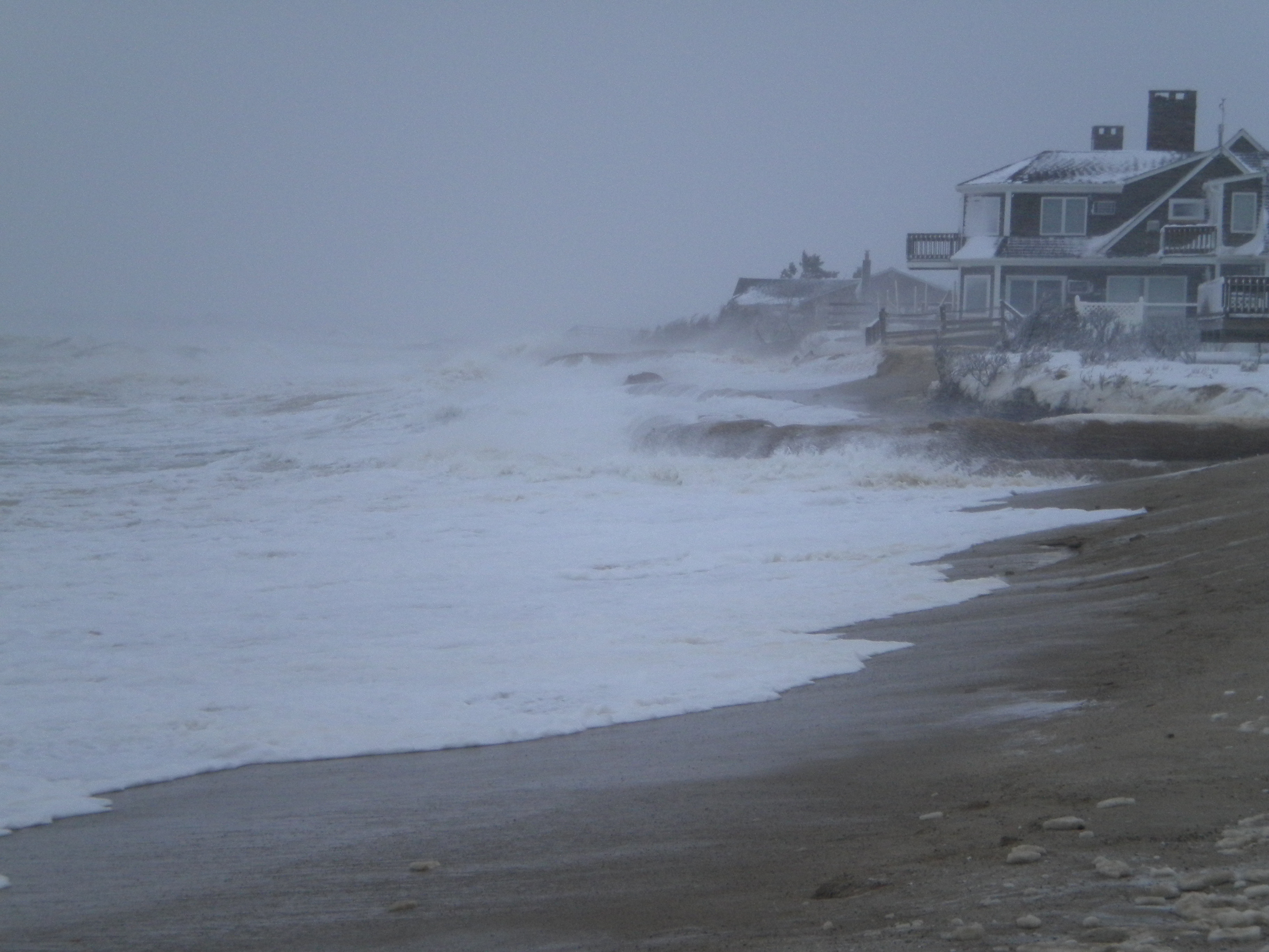
Beach
Imapacts Reported: Y
Comments: Drifting snow preventing access.
Coastal Structures
Specific Impacts:
- Undermined bulkheads/seawalls
Comments: Most observed damage from previous storms. Fiber tubes being hit hard by waves just east of White Cap Path.
Foot/Cycling Paths
Natural Resources
Specific Impacts:
- Eroded bank/bluff
Comments: Site losing more natural material and all new material placed their by residents. Water reaching front of structures.
Current Response
Tidal Overview
![]() 1 hours 5 minutes after high tide
1 hours 5 minutes after high tide
Data from Sandwich Marina, Cape Cod Canal, east entrance (1 miles away)
High Tide (Predicted): 7:28 am, 9.3' MLLW
Loading NOAA Tide Data…
■ Observed
■ Predicted water level
⬤ Report time
Weather Overview
Wind Speed: 28 MPH
Wind Direction: N (3°)
Temperature: 25℉
Rainfall (Calendar Day): 0.03"
Rainfall (Past 24 Hours): 0.26"
You must be logged in to post a comment.
No new damage to structures observed, but waves now approaching houses. Fiber tubes to east of White Cap Path (Bay Beach Lane) being hit directly from NW winds/waves.