Roads
Street/Road: Unspecified
Specific Impacts:
- Splashover
- Impacted, but passable
Marinas and Harbors
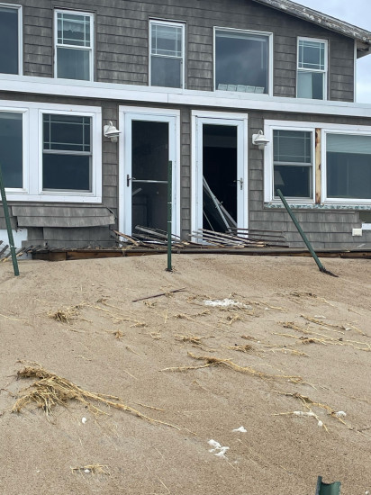
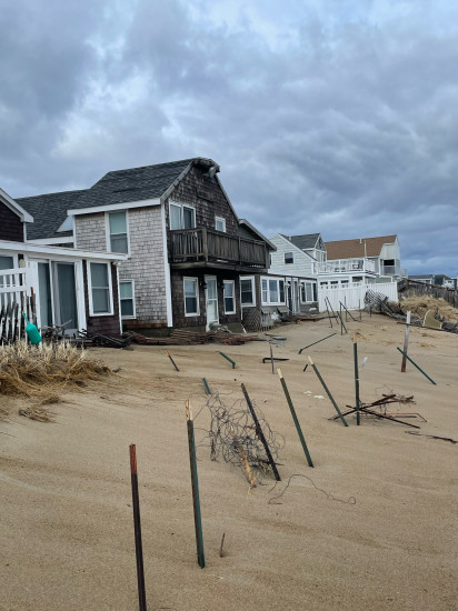
Buildings
Street: North end boulevard around #256
Specific Impacts:
- Water flow around or under buildings
- Damaged windows/sidings
Hazardous Materials
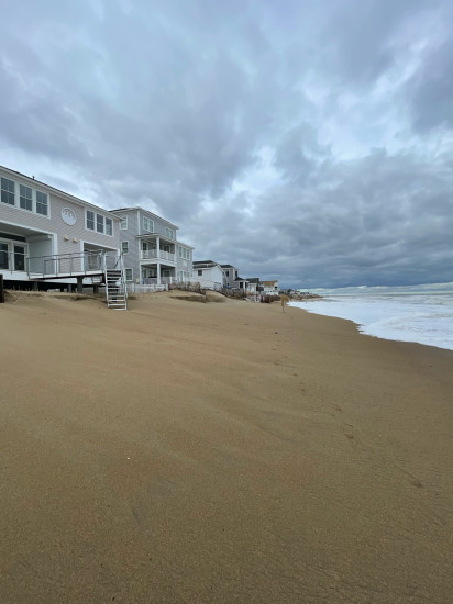
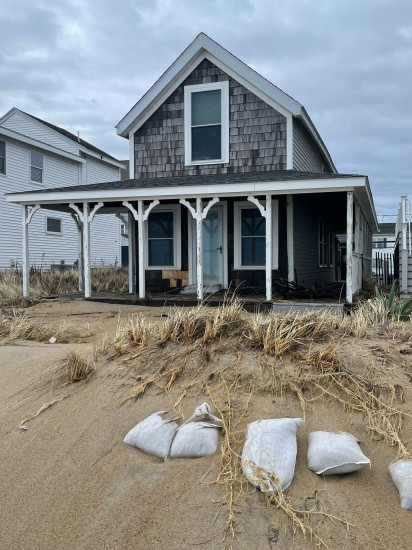
Beach
State: Y
Coastal Structures
Natural Resources
Specific Impacts:
- Damaged sand fencing
- Eroded beach
- Eroded dune
Current Response
Response:
- None
You must be logged in to post a comment.