
Barnstable County
Falmouth, MA
(Mill road and surf drive)

Storm Report
Impacts Reported
User Submitted Data
Roads
Street/Road: Unspecified
Specific Impacts:
- Splashover
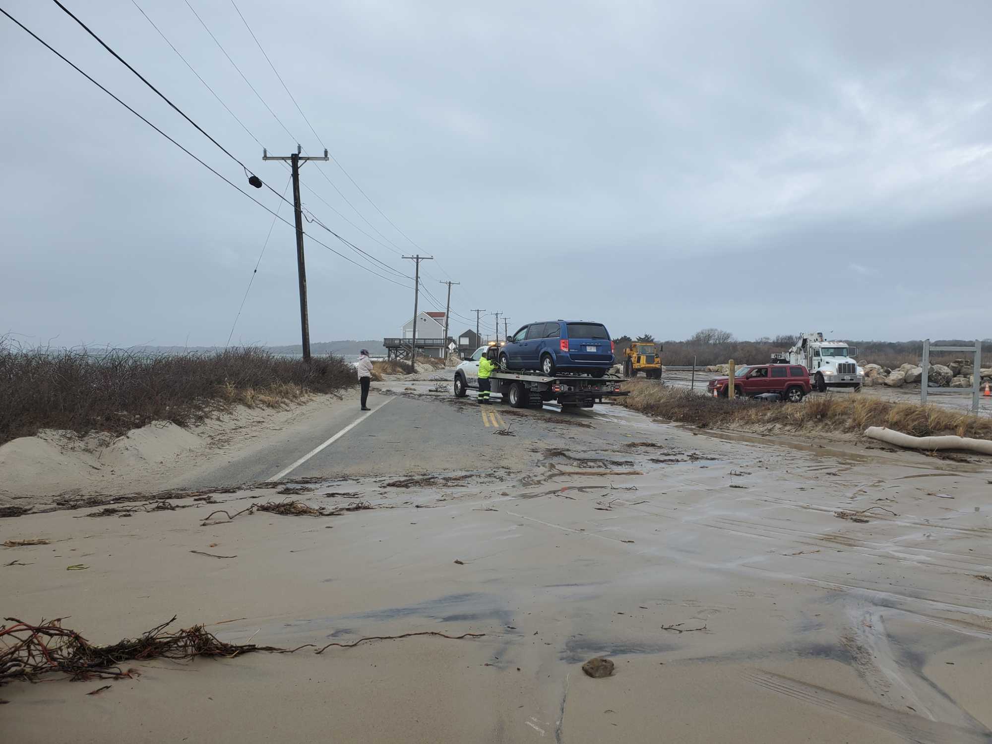
- Impassable (trees)
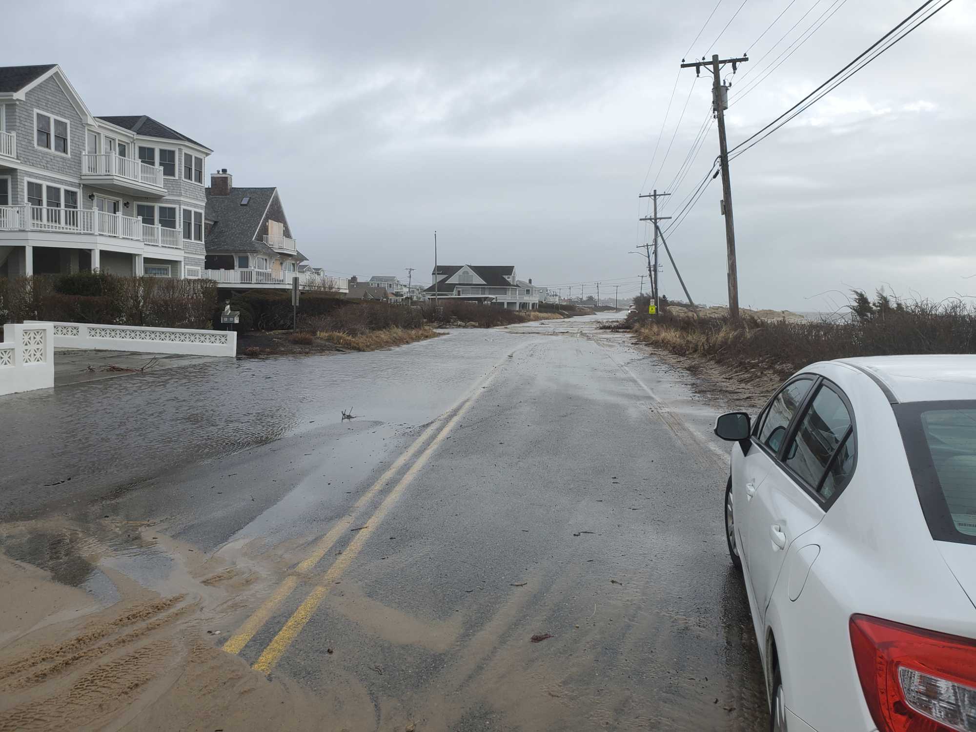
- Impassable (flood water)
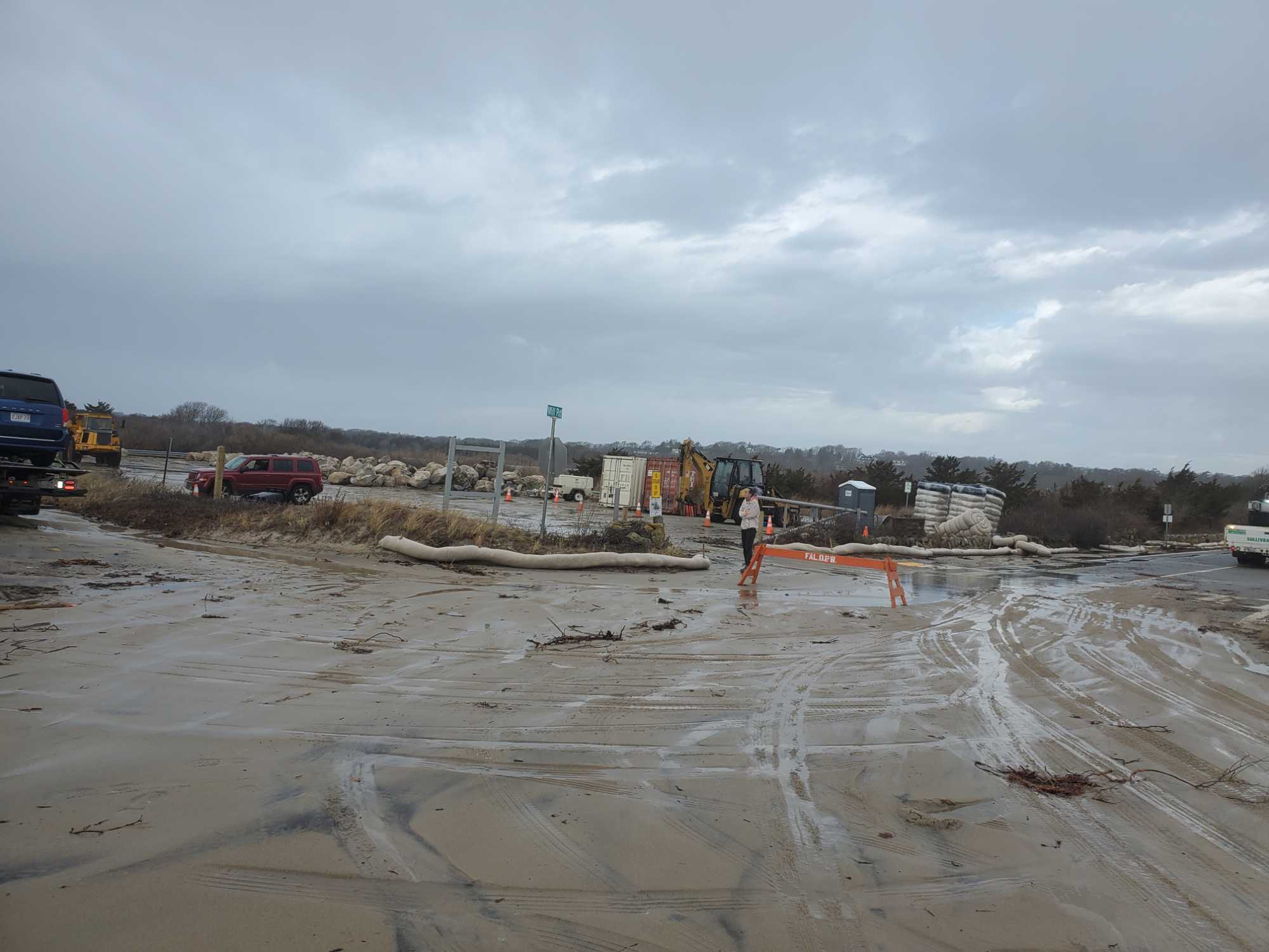
- Impassable (overwash)
Marinas and Harbors
Buildings
Hazardous Materials
Beach
Imapacts Reported: Report Impacts
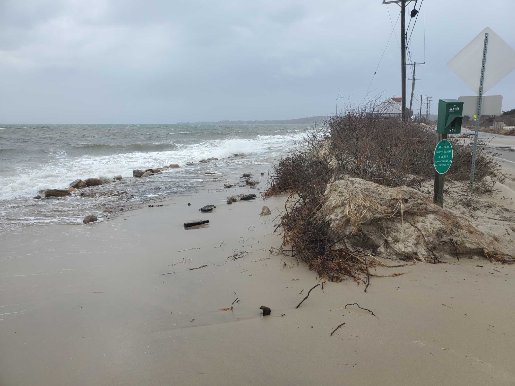
Comments: Dune erosion
Coastal Structures
Foot/Cycling Paths
Natural Resources
Specific Impacts:
- Damaged sand fencing
- Eroded beach
- Eroded dune
- Eroded bank/bluff
- Overwashed beach/dune
Current Response
You must be logged in to post a comment.