


Roads
Street/Road: Unspecified
Marinas and Harbors
Buildings
Hazardous Materials
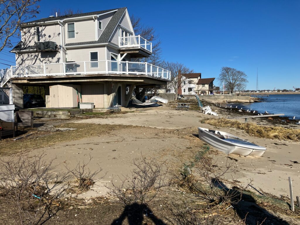
Beach
State: Y
Comments: Deep erosion into private property of beaches and coastal bank
Coastal Structures
Specific Impacts:
- Splashover
- Damaged stairs/walkovers
- Undermined bulkheads/seawalls
- Damaged groin/jetty
Comments: Considerable damage to residential seawalls and banks
Foot/Cycling Paths
Natural Resources
Specific Impacts:
- Eroded beach
- Eroded dune
- Eroded bank/bluff
- Overwashed beach/dune
- Wrack on wetlands
Current Response
You must be logged in to post a comment.