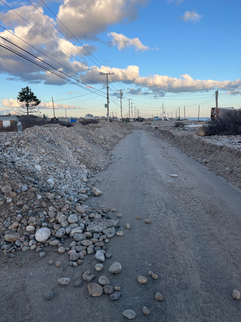
Westport, MA (East Beach Rd)

Bristol County

Impacts Reported


Roads

Street/Road: Unspecified

Specific Impacts:

  • Impassable (overwash)

Marinas and Harbors
Buildings
Hazardous Materials
Beach

State: Inaccessible

Coastal Structures
Natural Resources

Specific Impacts:

  • Breached barrier beach

Comments: Overwash into the let, damage to salt marsh in washout

Current Response

Response:

  • Utility repair
  • Road clearing


12/19/2023 | 3:38 pm

Tidal Overview

1 hours 55 minutes after high tide

Data from New Bedford Harbor, Marine Terminal (10.7 miles away)

Water Level (at time of report): 3:38 pm, 2.9'

High Tide (Predicted): 1:07 pm, 3.4'

High Tide (Observed): 1:00 pm, 4.6'

Observed Predicted water level Report time

Weather Overview

Wind Speed: 11.4 MPH

Wind Direction: WNW (300°)

Temperature: 43℉

Rainfall (Calendar Day): 0"

Rainfall (Past 24 Hours): 0.02"

(Click here for full weather details)


You must be logged in to post a comment.