


Roads
Street/Road: Unspecified
Marinas and Harbors
Buildings
Hazardous Materials
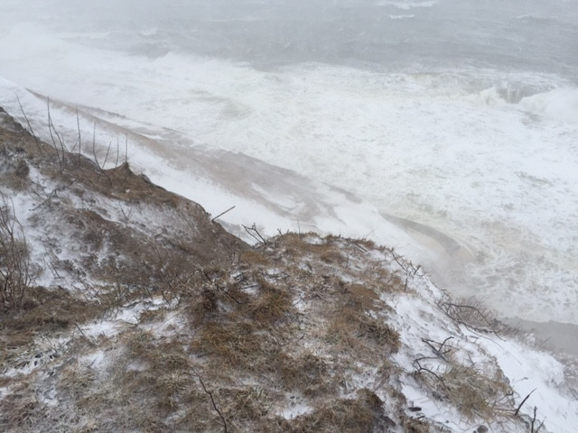
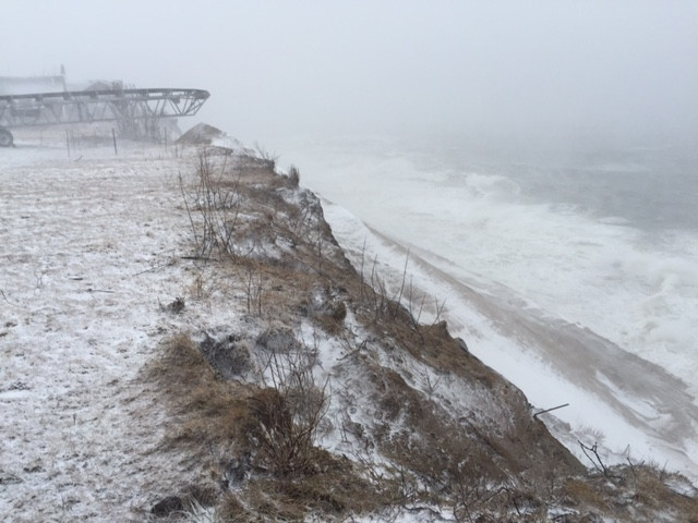
Beach
State: Y
Coastal Structures
Specific Impacts:
- Splashover
Foot/Cycling Paths
Natural Resources
Specific Impacts:
- Eroded beach
Current Response
You must be logged in to post a comment.
"Erosion of nourishment sand has completely exposed the two bottom tiers geotubes."