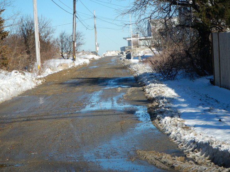
Roads
Street/Road: Unspecified
Specific Impacts:
- Impacted, but passable
Comments: sand, cobble and debris has been cleared
Marinas and Harbors
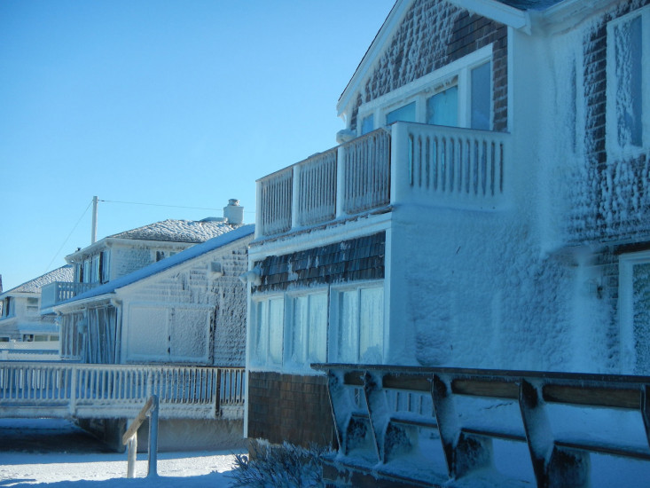
Buildings
Specific Impacts:
- Water flow around or under buildings
Comments: Icing of houses
Hazardous Materials
Beach
State: Accessible
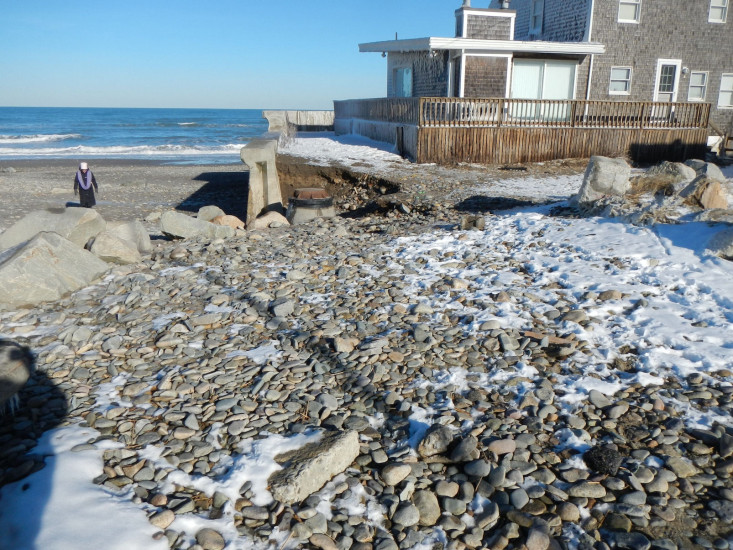
Coastal Structures
Specific Impacts:
- Undermined bulkheads/seawalls
Comments: Erosion behind seawall has eroded material from an existing sewer manhole
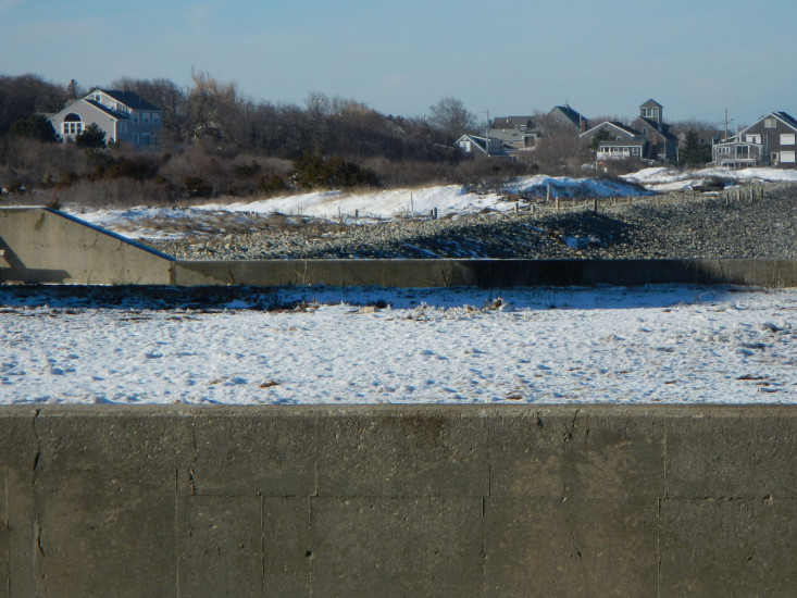
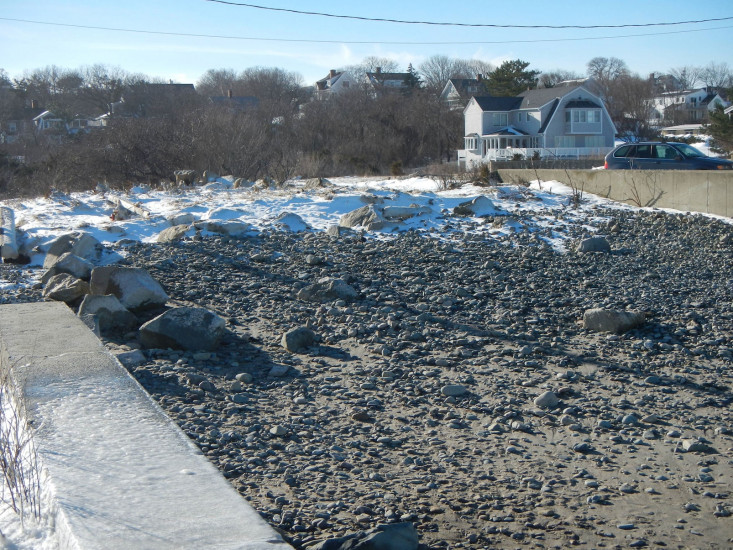
Natural Resources
Specific Impacts:
- Eroded beach
- Overwashed beach/dune
Comments: Cobble pushed up beach
Current Response
You must be logged in to post a comment.