Roads
Street/Road: Unspecified
Marinas and Harbors
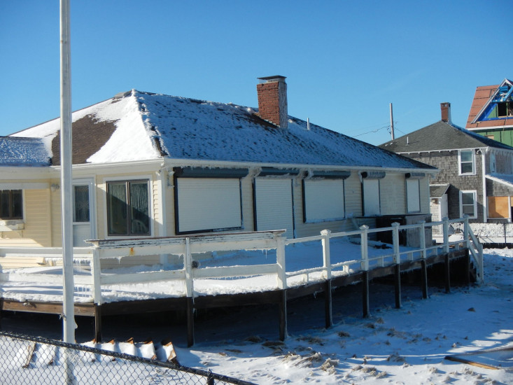
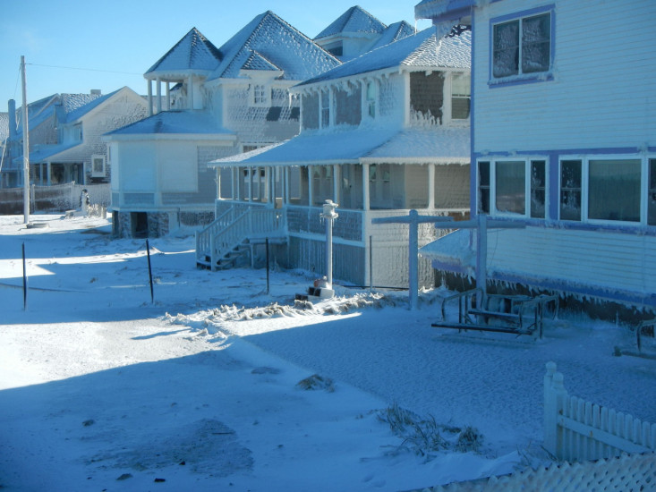
Buildings
Specific Impacts:
- Water flow around or under buildings
Comments: Icing
Hazardous Materials
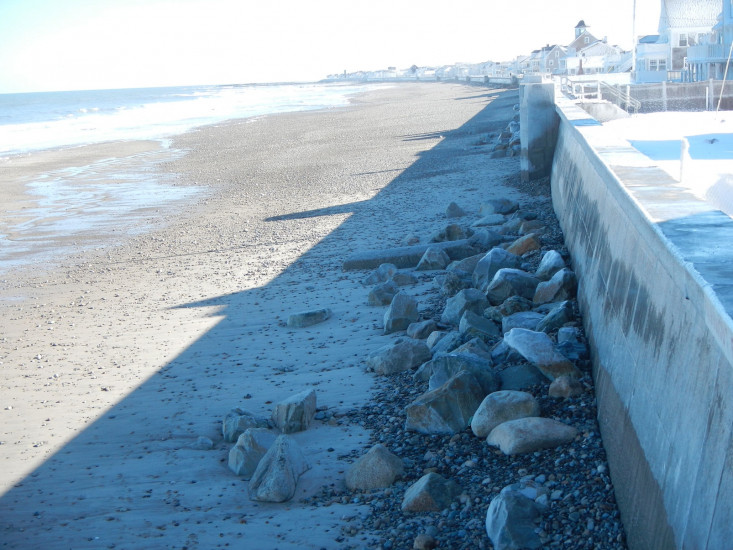
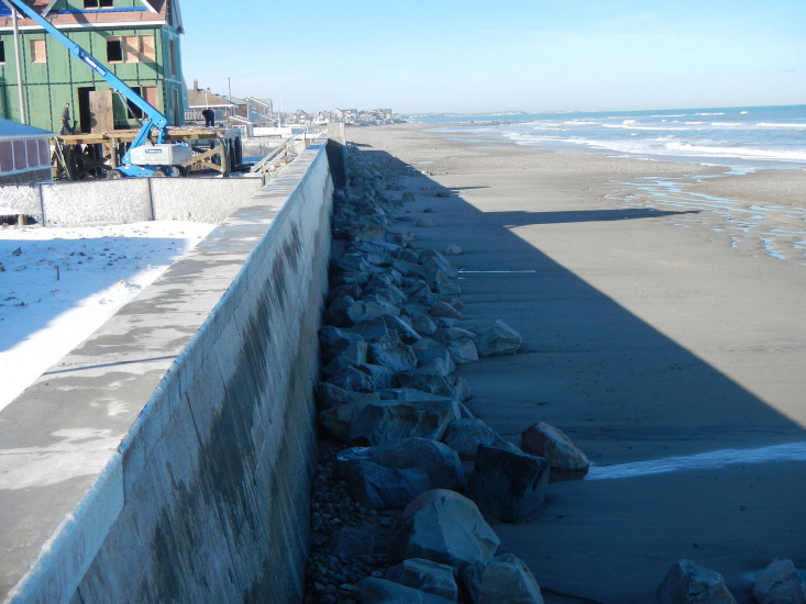
Beach
Foot/Cycling Paths
Natural Resources
Specific Impacts:
- Eroded beach
Comments: Cobble pushed up the beach
Current Response
You must be logged in to post a comment.