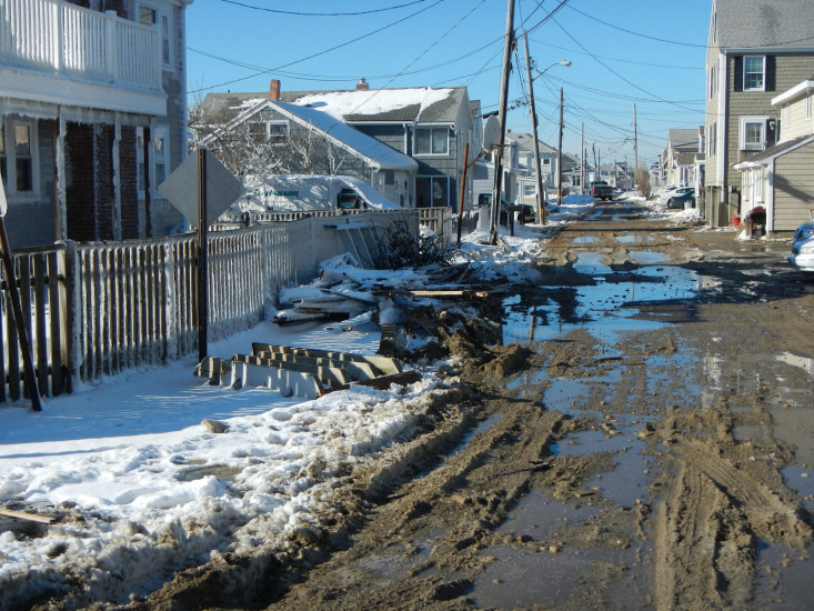
Roads
Street/Road: Unspecified
Specific Impacts:
- Splashover
- Impacted, but passable
Comments: sand, cobble and debris in roadway on foster between 3rd Road and 7th Road
Marinas and Harbors
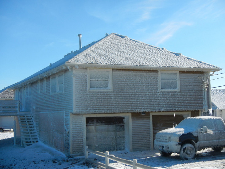
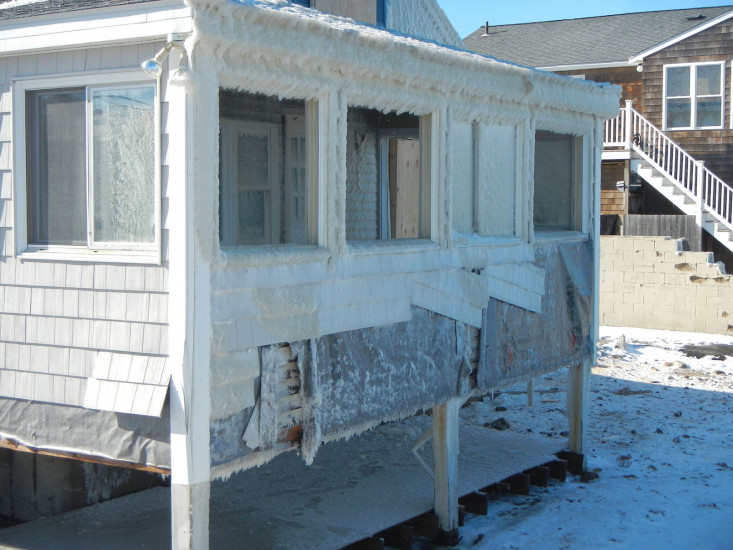
Buildings
Street: 3rd Road to 7th Road
Specific Impacts:
- Water flow around or under buildings
- Damaged stairs/decks
- Damaged windows/sidings
Comments: Differing amounts of damage throughout these neighborhoods
Hazardous Materials
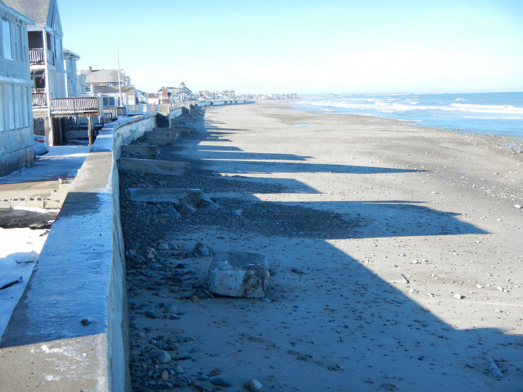
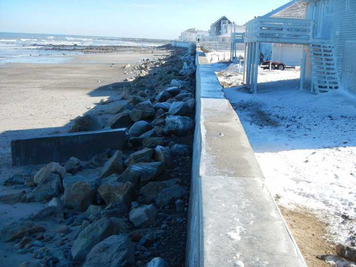
Beach
State: Accessible
Coastal Structures
Natural Resources
Current Response
You must be logged in to post a comment.
"Impact area is from 3rd to 7th and foster Ave"