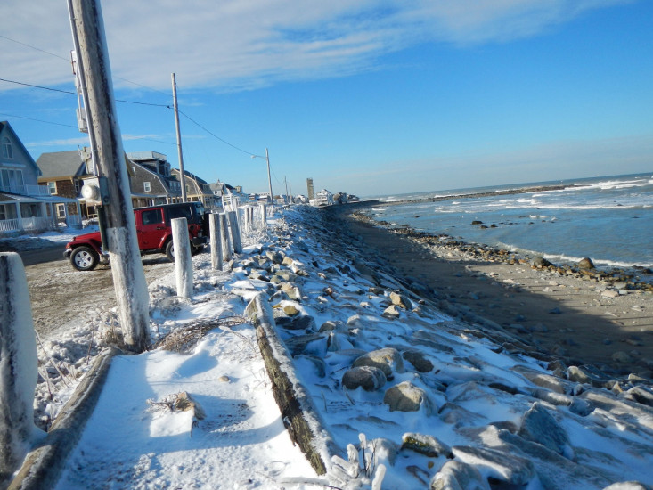
DSCN3969
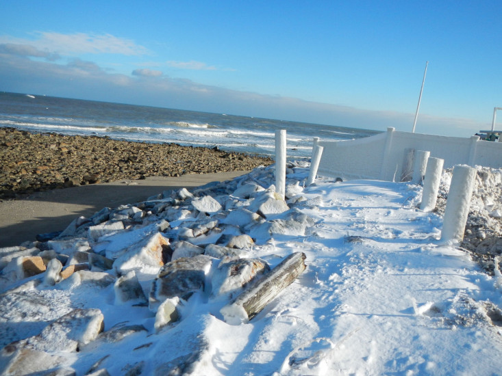
DSCN3970
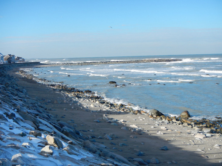
DSCN3972
Street/Road: Unspecified
Specific Impacts:
3 hours 37 minutes before high tide
Data from Brant Rock, Green Harbor River (0.5 miles away)
High Tide (Predicted): 6:09 pm, 8.9'
(Click here for full tide details from NOAA Tides & Currents)
Wind Speed: 8.3 MPH
Wind Direction: NNW (339°)
Temperature: 26℉
Rainfall (Calendar Day): 0"
Rainfall (Past 24 Hours): 0.03"
(Click here for full weather details)