
Roads
Street/Road: Unspecified
Marinas and Harbors
Specific Impacts:
- Damaged piers/docks
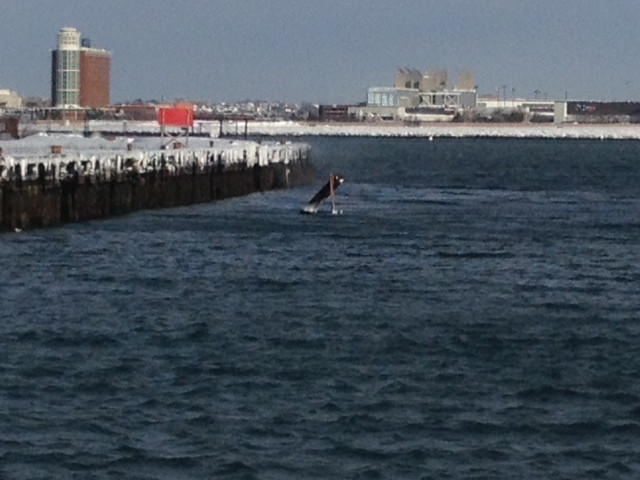
Comments: One of the pilings was broken and had become dislodged. This may constitute a navigation hazard. Photos 17 and 18. Map shows location of pier with broken piling.
Buildings
Hazardous Materials
Beach
State: Accessible
Coastal Structures
Natural Resources
Current Response
You must be logged in to post a comment.
"Map indicates location of broken piling shown in photos 17 and 18"