Sandwich, MA

Barnstable County

Impacts Reported


Roads

Street/Road: Unspecified
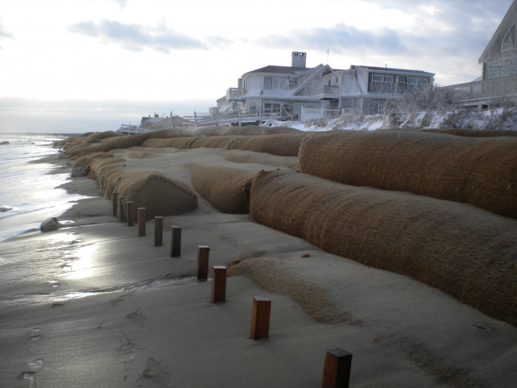
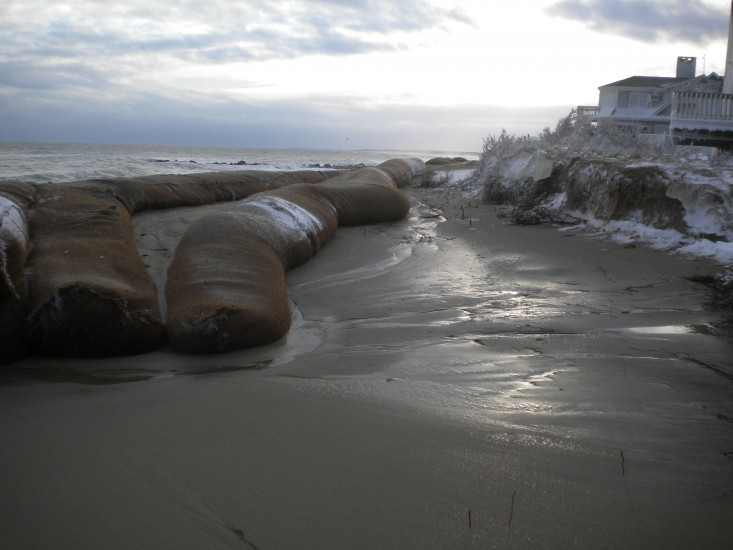
Marinas and Harbors
Buildings
Hazardous Materials
Beach

State: Accessible

Coastal Structures

Comments: Fabric barriers placed in front of several homes on Bay Beach Lane, just east of White Cap Path, appeared to help reduce impacts, but erosion occurred behind barriers and barriers shifted. Some damage to decks of these homes occurred.

Natural Resources

Specific Impacts:

  • Eroded beach
  • Eroded bank/bluff

Current Response

01/28/2015 | 7:59 am

Tidal Overview

2 hours 33 minutes after high tide

Data from Sandwich Marina, Cape Cod Canal, east entrance (1.1 miles away)

High Tide (Predicted): 5:26 am, 9.6'

Observed Predicted water level Report time

Weather Overview

Wind Speed: 12.3 MPH

Wind Direction: NW (317°)

Temperature: 15℉

Rainfall (Calendar Day): 0"

Rainfall (Past 24 Hours): 0.38"

(Click here for full weather details)


You must be logged in to post a comment.