
Roads
Street/Road: Unspecified
Specific Impacts:
- Splashover
Marinas and Harbors
Buildings
Hazardous Materials
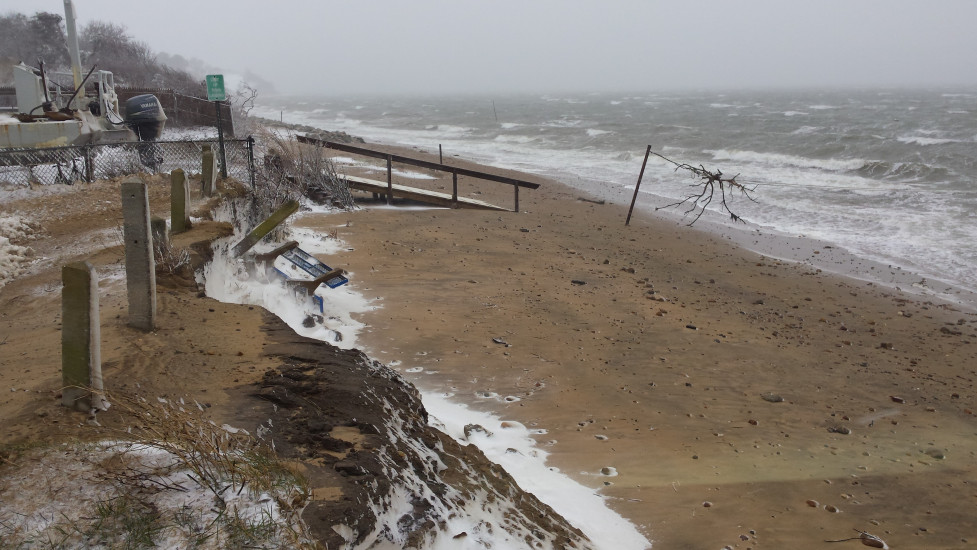
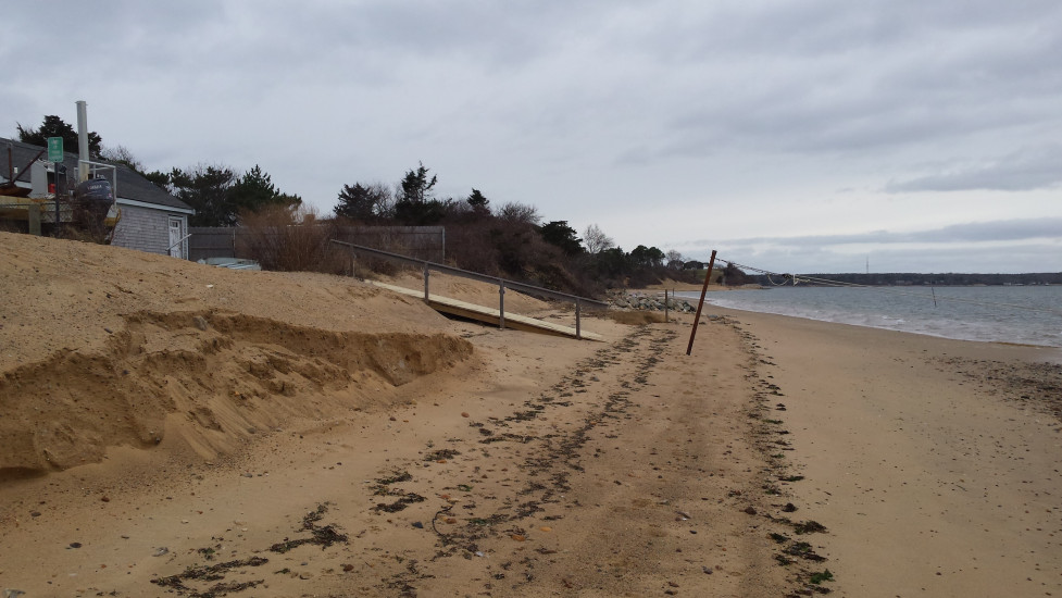
Beach
Foot/Cycling Paths
Natural Resources
Specific Impacts:
- Damaged sand fencing
- Eroded beach
- Eroded dune
- Eroded bank/bluff
- Wrack on wetlands
Comments: Heavy erosion of the street end at landing. All sacrificial sand placed a cou-ple of weeks ago (approx 200 cys) removed. Will be vulnerable to next high tide/storm surge.
Current Response
You must be logged in to post a comment.