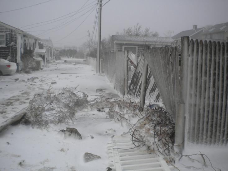
Roads
Street/Road: Unspecified
Specific Impacts:
- Impassable (other)
Specific road: snow, debris including roof shingles
Marinas and Harbors
Buildings
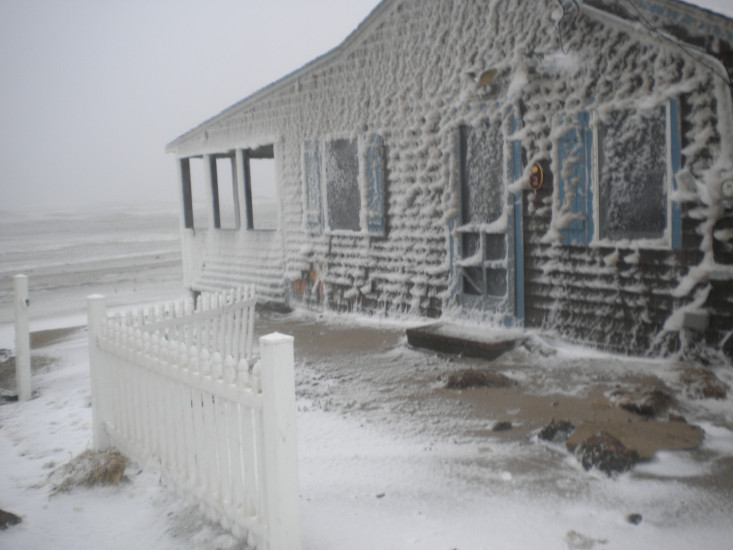
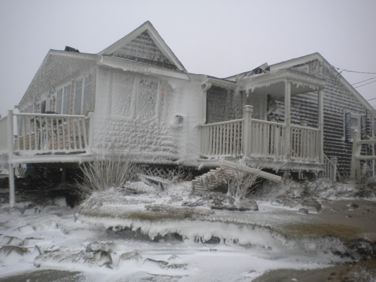
Street: White Cap Path
Specific Impacts:
- Damaged stairs/decks
- Damaged windows/sidings
- Damaged walls/roofs
- Damaged foundations/pilings
Comments: Damage to #2 White Cap Path and the cottages on both sides. Erosion undermining porches, possibly cottages themselves.
Hazardous Materials
Beach
State: Damaged foot/bike path
Comments: paths covered with wrack and debris
Coastal Structures
Specific Impacts:
- Damaged stairs/walkovers
Natural Resources
Specific Impacts:
- Damaged sand fencing
- Eroded beach
- Eroded bank/bluff
Comments: Bank eroded back to front of cottages.
Current Response
You must be logged in to post a comment.
"Extensive erosion of beach and bank up to cottages on White Cap Path, Town Neck Beach with wind and water damage to the cottages."