York County
York, ME
Storm Report
Damage Reported

User Submitted Data
Roads
Street/Road: Unspecified
Marinas and Harbors
Buildings
Specific Damage:
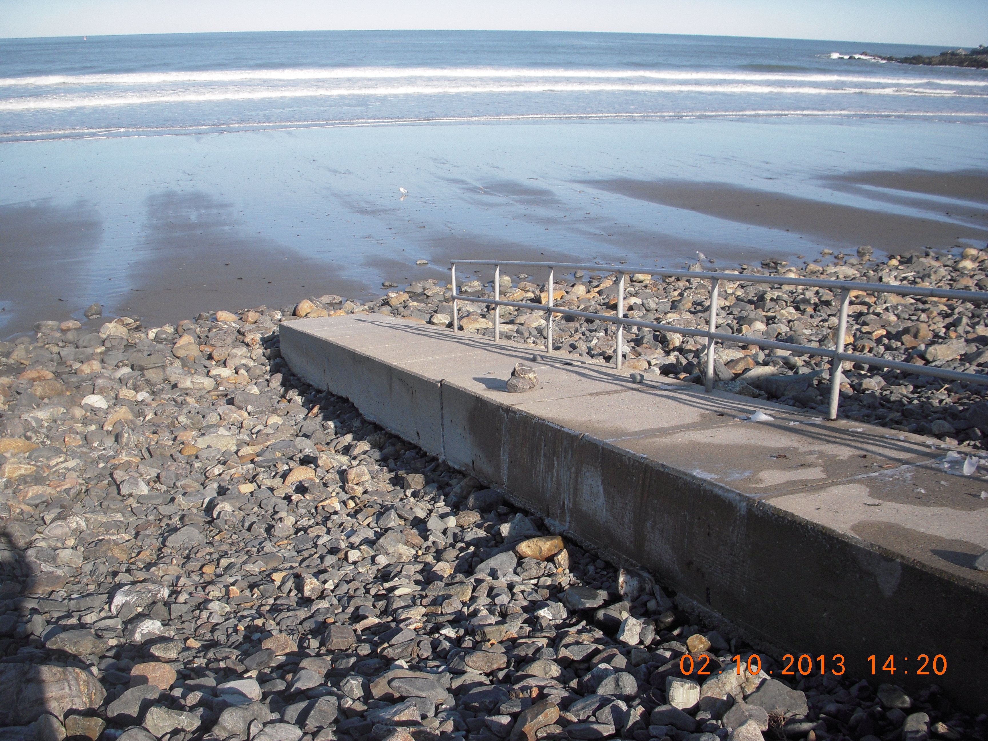
- Damaged foundations/pilings
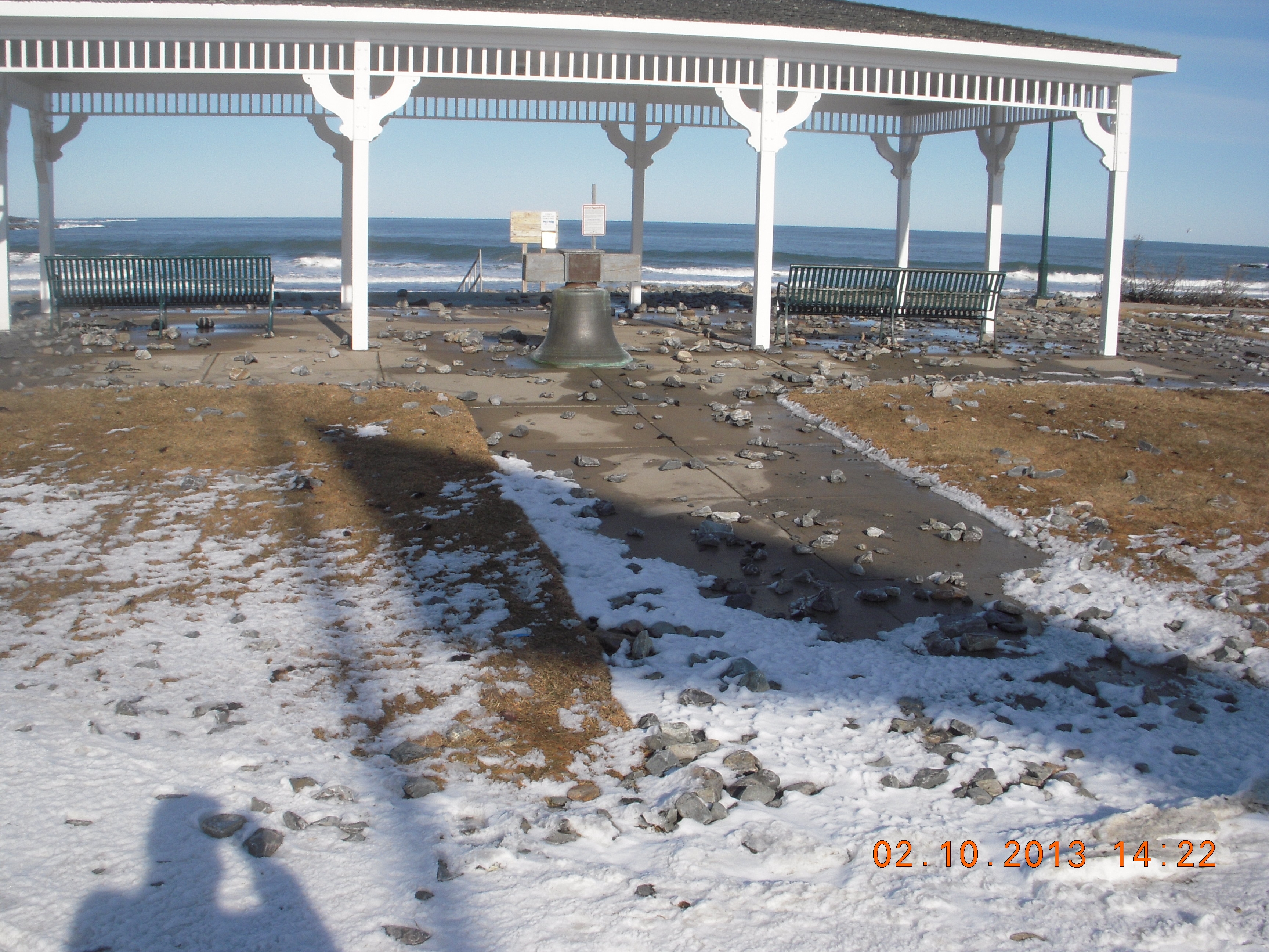
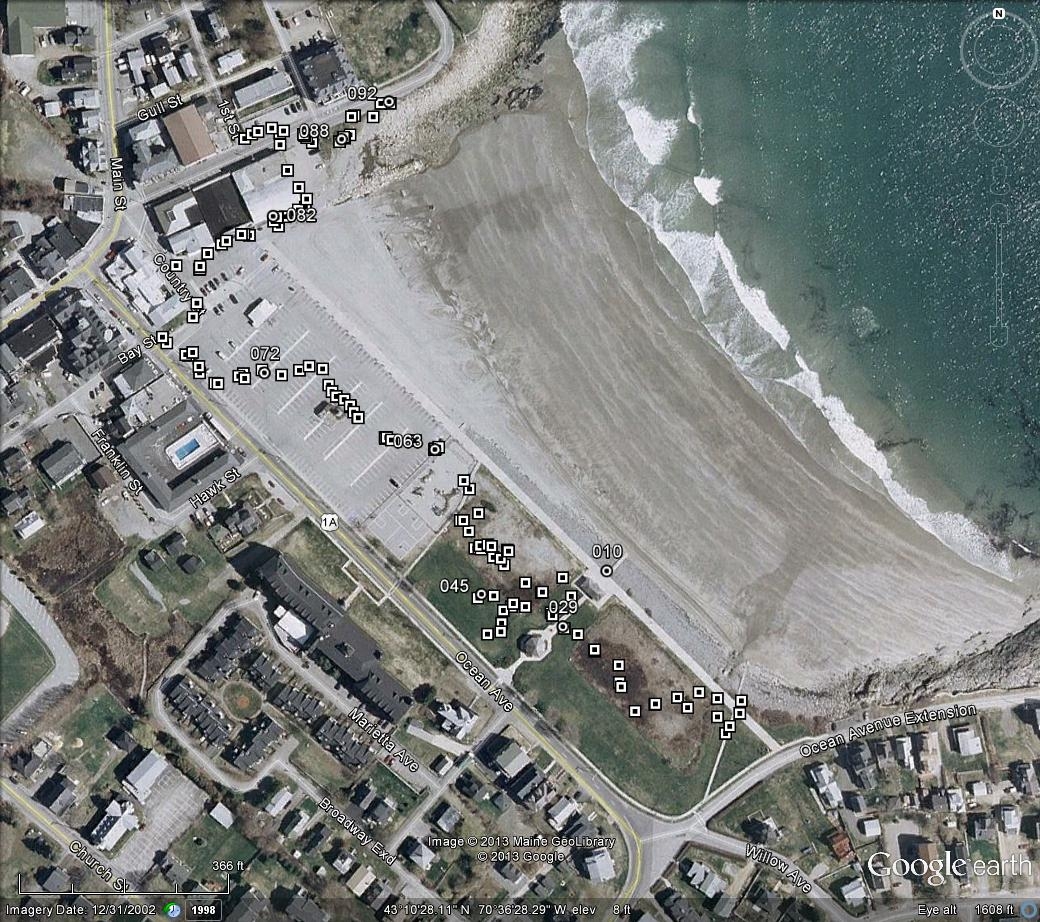
Comments: Flooding of parking lot, paths, and gazebo.
Hazardous Materials
Beach
Coastal Structures
Foot/Cycling Paths
Natural Resources
Specific Damage:
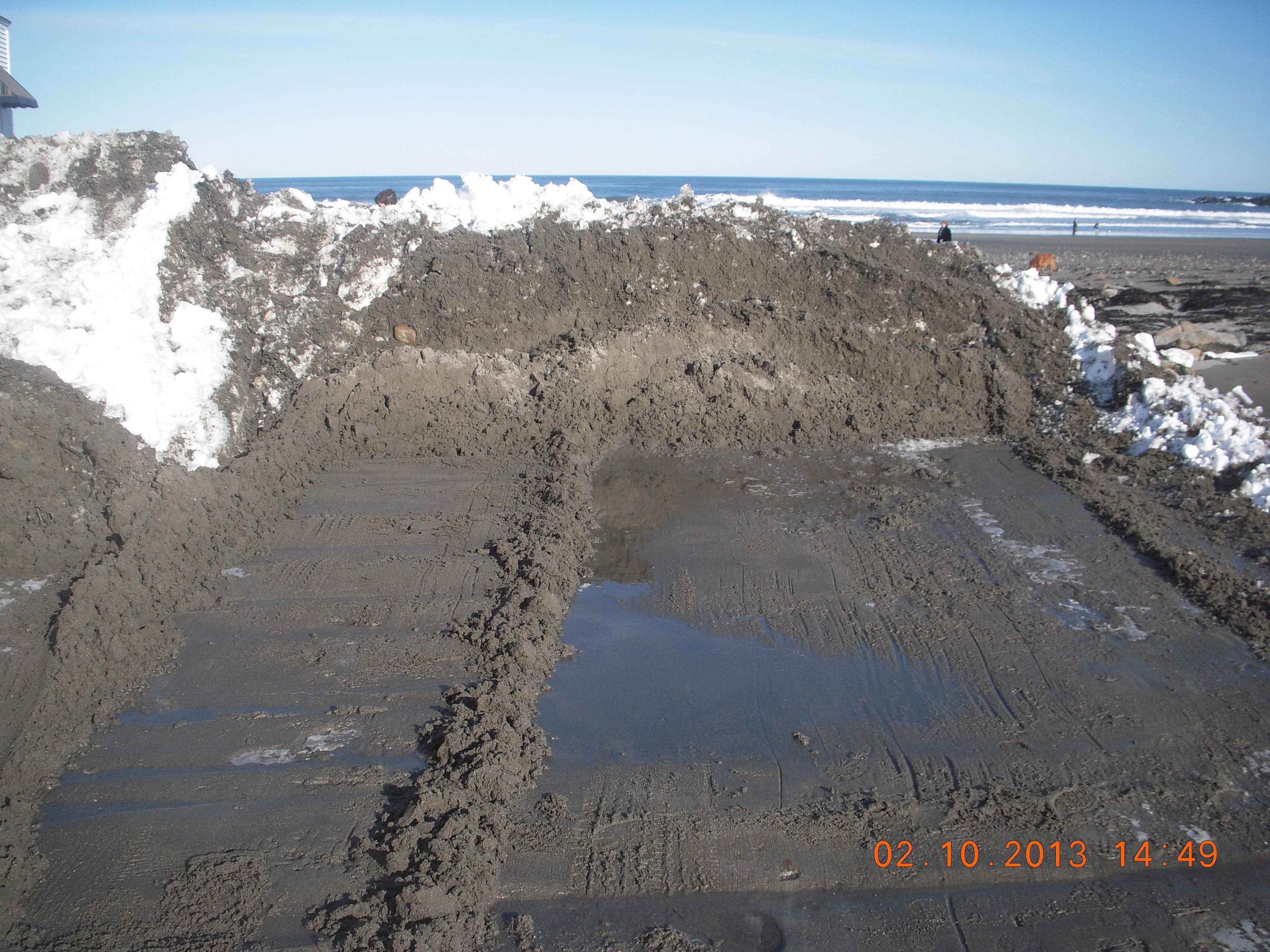
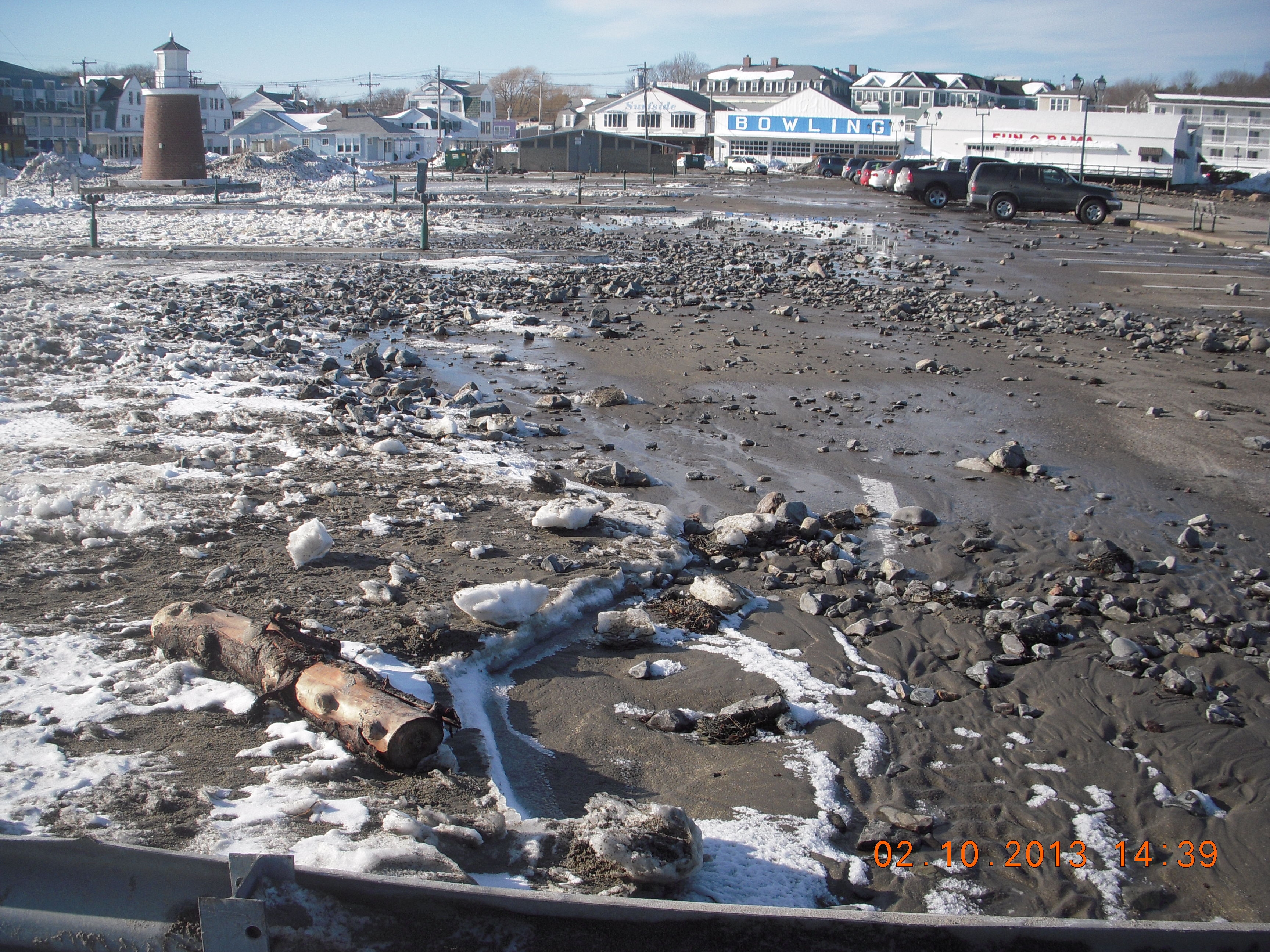
- Overwashed beach/dune
Comments: Sand and cobbles transported off beach into the frontal dune, parking lot, walkways, and gazebo.
Current Response
Response:
- Other
Specific response: No cleanup yet.
Tidal Overview
![]() 3 hours 34 minutes after high tide
3 hours 34 minutes after high tide
Data from Fort Point (9.1 miles away)
Water Level (at time of report): 2:22 pm, 3.7' MLLW
High Tide (Predicted): 10:56 am, 10.7' MLLW
High Tide (Observed): 10:48 am, 10.5' MLLW
Loading NOAA Tide Data…
■ Observed
■ Predicted water level
⬤ Report time
Weather Overview
Wind Speed: 5.2 MPH
Wind Direction: NW (308°)
Temperature: 35℉
Rainfall (Calendar Day): 0"
Rainfall (Past 24 Hours): 0"
You must be logged in to post a comment.
Boxes on map trace landward extent of sediment overwash at Short Sands Beach in York. Circles with numbers correspond to accompanying photographs taken during the washover survey by S. M. Dickson, Maine Geological Survey.