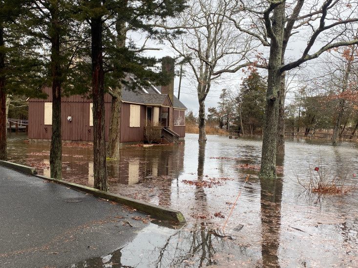
Cause of Flooding:
- Overland flooding (Nearby waterbody)
What is Flooded:
- Roads/streets
- Lawns/vegetation
Estimated water depth: 12 inches
You must be logged in to post a comment.
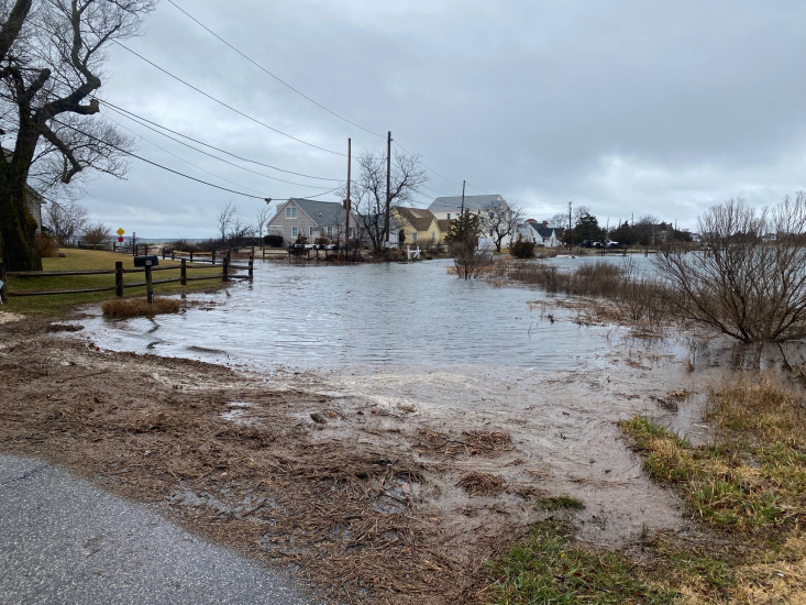
Cause of Flooding:
What is Flooded:
Estimated water depth: 12 inches
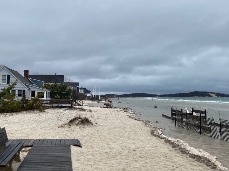
"Photos taken at time of high tide."