2372
2373
2374
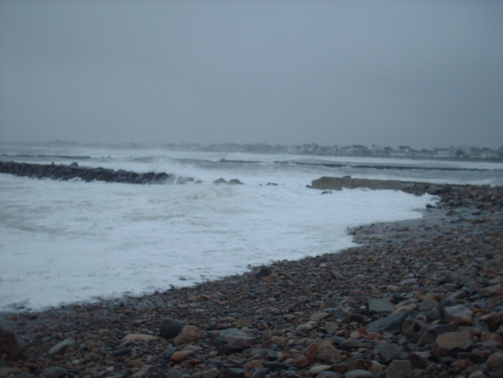
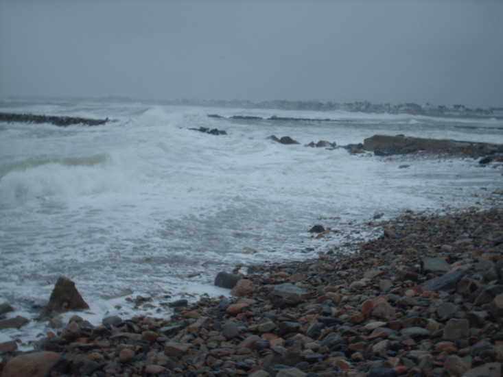
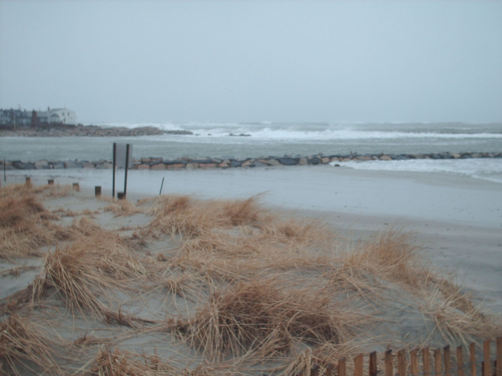
Street/Road: Unspecified
Specific Impacts:
2 hours 31 minutes after high tide
Data from Brant Rock, Green Harbor River (0.4 miles away)
High Tide (Predicted): 6:59 am, 10' MLLW
(Click here for full tide details from NOAA Tides & Currents)
Wind Speed: 22.8 MPH
Wind Direction: NNE (21°)
Temperature: 37℉
Rainfall (Calendar Day): 0.022"
Rainfall (Past 24 Hours): 0.23"
(Click here for full weather details)