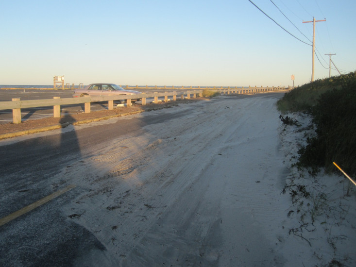
Roads
Street/Road: Unspecified
Specific Impacts:
- Impacted, but passable
- Impassable (overwash)
Marinas and Harbors
Buildings
Hazardous Materials
Beach
State: Accessible
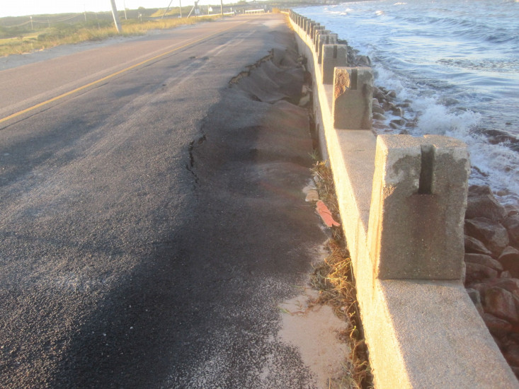
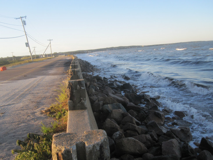
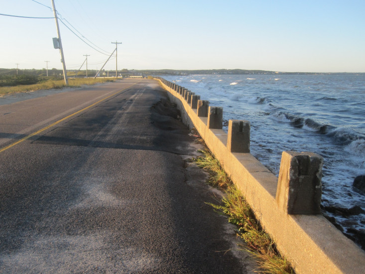
Coastal Structures
Specific Impacts:
- Splashover
- Damaged stairs/walkovers
- Undermined bulkheads/seawalls
Natural Resources
Current Response
You must be logged in to post a comment.
"Most significant is undermined seawall on roadway to Associates Is. Visible storm debris and overwash in beach lot & road."