804
"wrack line up to but not in to parking lot. Note: parking lot is relatively flat and site benchmark elevation (in parking lot) is 7.51 and the grade elevation at the firehouse is 8.7"
Street/Road: Unspecified
State: Y
4 hours 45 minutes before high tide
Data from Brant Rock, Green Harbor River (4.5 miles away)
High Tide (Predicted): 2:30 pm, 11.4' MLLW
(Click here for full tide details from NOAA Tides & Currents)
Wind Speed: 15.2 MPH
Wind Direction: NW (311°)
Temperature: 39℉
Rainfall (Calendar Day): 0"
Rainfall (Past 24 Hours): 0.12"
(Click here for full weather details)
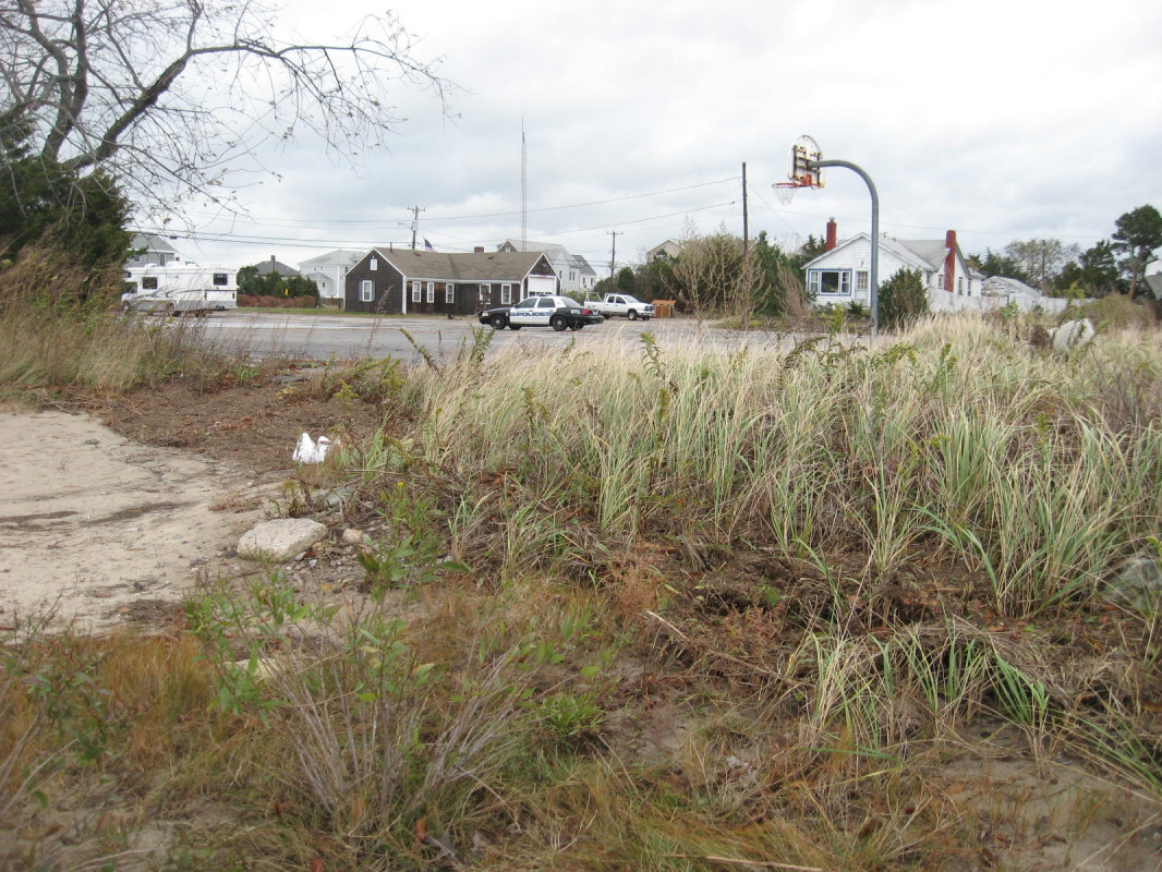
"wrack line up to but not in to parking lot. Note: parking lot is relatively flat and site benchmark elevation (in parking lot) is 7.51 and the grade elevation at the firehouse is 8.7"