985
986
987
988
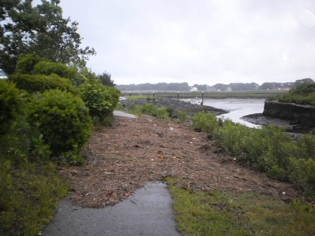
"Photos of washover debris. Also if you didn't know they're restoring the tidal mill"
Street/Road: Unspecified
Specific Impacts:
Response:
5 hours 54 minutes after high tide
Data from BOSTON (8.1 miles away)
Water Level (at time of report): 6:00 am, -0.2' MLLW
High Tide (Predicted): 11:51 pm, 12.2' MLLW
High Tide (Observed): 11:54 pm, 13.6' MLLW
(Click here for full tide details from NOAA Tides & Currents)
Wind Speed: 8.4 MPH
Wind Direction: NNW (344°)
Temperature: 51℉
Rainfall (Calendar Day): 0"
Rainfall (Past 24 Hours): 0.3"
(Click here for full weather details)

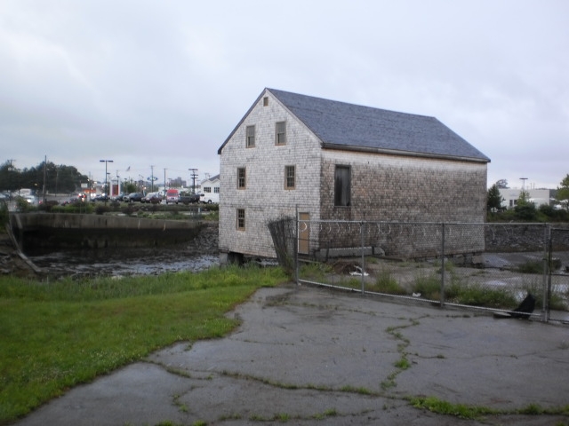

"Photos of washover debris. Also if you didn't know they're restoring the tidal mill"