
Roads
Street/Road: Unspecified
Specific Impacts:
- Splashover
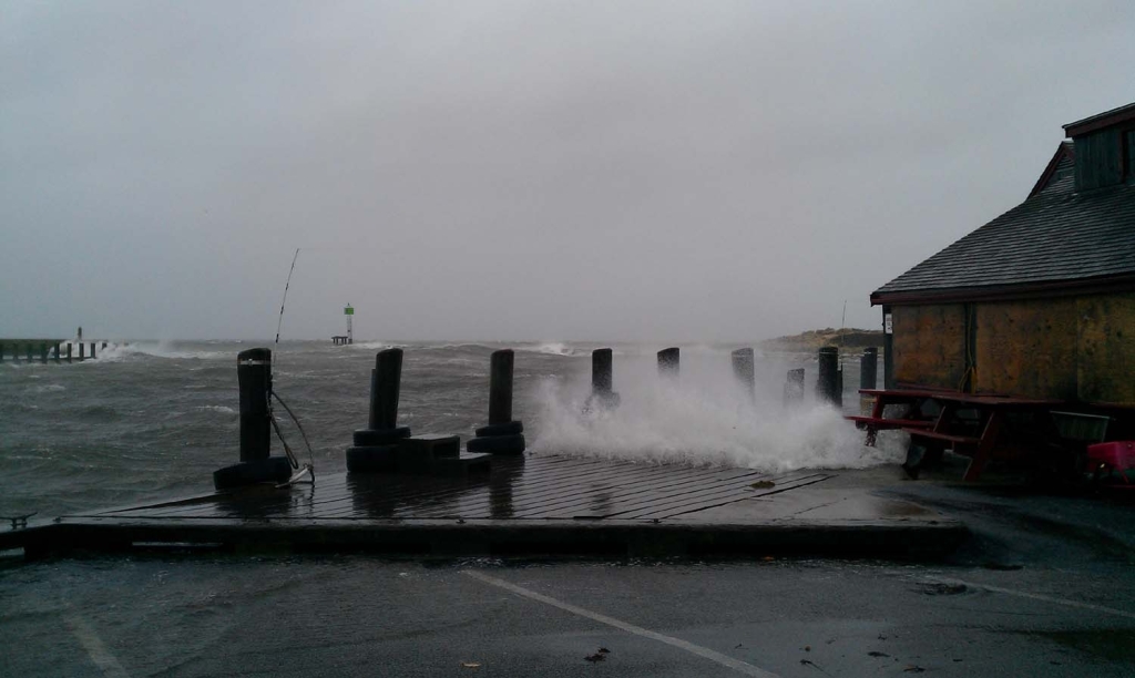
Marinas and Harbors
Buildings
Street: 231 Clinton Ave
Specific Impacts:
- Damaged stairs/decks
- Water flow around or under buildings
Hazardous Materials
Beach
State: Y
Coastal Structures
Specific Impacts:
- Splashover
- Damaged stairs/walkovers
Foot/Cycling Paths
Natural Resources
Current Response
Response:
- None
You must be logged in to post a comment.
"Two pier planks detached while there."