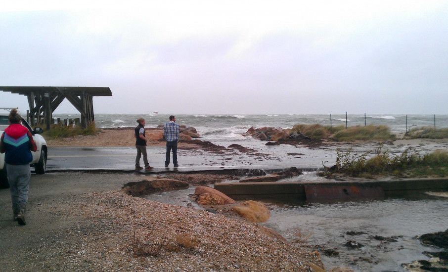
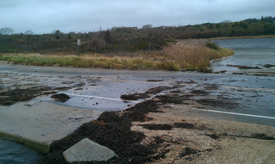
Falmouth, MA

Barnstable County

Impacts Reported


Roads

Street/Road: Unspecified

Specific Impacts:

  • Splashover
  • Impassable (flood water)
  • Impassable (overwash)

Marinas and Harbors
Buildings
Hazardous Materials
Beach

State: Accessible

Coastal Structures
Natural Resources

Specific Impacts:

  • Damaged sand fencing
  • Eroded beach
  • Overwashed beach/dune

Current Response

Response:

  • None

Specific response: road blocked off


10/29/2012 | 12:30 pm

Tidal Overview

3 hours 42 minutes after high tide

Data from OCEANOGRAPHIC INSTITUTION (2.5 miles away)

Water Level (at time of report): 12:30 pm, 3.7'

High Tide (Predicted): 8:15 am, 2.4'

High Tide (Observed): 8:48 am, 4.8'

Observed Predicted water level Report time

Weather Overview

Wind Speed: 36.9 MPH

Wind Direction: ENE (67°)

Temperature: 62℉

Rainfall (Calendar Day): 0.015"

Rainfall (Past 24 Hours): 0.17"

(Click here for full weather details)


You must be logged in to post a comment.